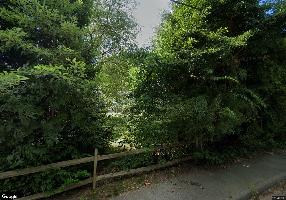
11 Harding Ave Wareham, MA 02571
Weweantic NeighborhoodEstimated Value: $402,725 - $455,000
2
Beds
1
Bath
1,010
Sq Ft
$423/Sq Ft
Est. Value
About This Home
This home is located at 11 Harding Ave, Wareham, MA 02571 and is currently estimated at $427,181, approximately $422 per square foot. 11 Harding Ave is a home located in Plymouth County with nearby schools including Tabor Academy.
Ownership History
Date
Name
Owned For
Owner Type
Purchase Details
Closed on
Oct 27, 2008
Sold by
Reagan Glenn P and Reagan Michele M
Bought by
Reagan Glenn P
Current Estimated Value
Home Financials for this Owner
Home Financials are based on the most recent Mortgage that was taken out on this home.
Original Mortgage
$183,000
Outstanding Balance
$118,792
Interest Rate
5.94%
Mortgage Type
Purchase Money Mortgage
Estimated Equity
$308,389
Create a Home Valuation Report for This Property
The Home Valuation Report is an in-depth analysis detailing your home's value as well as a comparison with similar homes in the area
Home Values in the Area
Average Home Value in this Area
Purchase History
| Date | Buyer | Sale Price | Title Company |
|---|---|---|---|
| Reagan Glenn P | -- | -- | |
| Reagan Glenn P | -- | -- |
Source: Public Records
Mortgage History
| Date | Status | Borrower | Loan Amount |
|---|---|---|---|
| Open | Reagan Glenn P | $183,000 | |
| Closed | Reagan Glenn P | $183,000 | |
| Previous Owner | Reagan Glenn P | $68,000 |
Source: Public Records
Tax History
| Year | Tax Paid | Tax Assessment Tax Assessment Total Assessment is a certain percentage of the fair market value that is determined by local assessors to be the total taxable value of land and additions on the property. | Land | Improvement |
|---|---|---|---|---|
| 2025 | $3,468 | $332,800 | $108,800 | $224,000 |
| 2024 | $3,519 | $313,400 | $84,700 | $228,700 |
| 2023 | $3,372 | $280,300 | $77,000 | $203,300 |
| 2022 | $3,158 | $239,600 | $77,000 | $162,600 |
| 2021 | $3,563 | $232,000 | $77,000 | $155,000 |
| 2020 | $2,908 | $219,300 | $77,000 | $142,300 |
| 2019 | $4,957 | $209,400 | $73,200 | $136,200 |
| 2018 | $4,759 | $192,100 | $73,200 | $118,900 |
| 2017 | $4,611 | $179,700 | $73,200 | $106,500 |
| 2016 | $2,193 | $162,100 | $70,500 | $91,600 |
| 2015 | $2,119 | $162,100 | $70,500 | $91,600 |
| 2014 | $1,992 | $155,000 | $67,000 | $88,000 |
Source: Public Records
Map
Nearby Homes
- 12 Taft St
- 14 Briarwood Dr
- 4 Roosevelt St
- 64 Rose Point Ave
- 0 Cromesett Rd (Off) Unit 73385395
- 58 Shady Ln
- 929 Point Rd
- 21 Nicholas Dr
- 10 Barnes St
- 21 Bayview St
- 233 Marion Rd
- 20 Grant St
- 43 Shore Ave
- 15 Broadmarsh Ave
- 6 Allen Ave
- 245 Wareham Rd
- 0 Cross Neck Rd Unit 73420524
- 0 Cross Neck Rd Unit 73466177
- 0 Cross Neck Rd Unit 73420525
- 4 Blackhall Ct
