11 Hilltop Rd Moultonborough, NH 03254
Estimated Value: $791,000 - $1,757,000
2
Beds
3
Baths
2,890
Sq Ft
$413/Sq Ft
Est. Value
About This Home
This home is located at 11 Hilltop Rd, Moultonborough, NH 03254 and is currently estimated at $1,193,427, approximately $412 per square foot. 11 Hilltop Rd is a home with nearby schools including Moultonborough Central School and Moultonborough Academy High School.
Ownership History
Date
Name
Owned For
Owner Type
Purchase Details
Closed on
Apr 14, 2022
Sold by
Raymond Thomas J and Raymond Jane L
Bought by
Raymond
Current Estimated Value
Purchase Details
Closed on
Apr 3, 2017
Sold by
Coakley Timothy J and Coakley Susan S
Bought by
Raymond Thomas J and Lewis-Raymond Jane R
Purchase Details
Closed on
Sep 13, 2000
Sold by
Kelleher Steven M and Kelleher Debra A
Bought by
Coakley Timothy J and Coakley Susan S
Create a Home Valuation Report for This Property
The Home Valuation Report is an in-depth analysis detailing your home's value as well as a comparison with similar homes in the area
Home Values in the Area
Average Home Value in this Area
Purchase History
| Date | Buyer | Sale Price | Title Company |
|---|---|---|---|
| Raymond | -- | None Available | |
| Raymond | -- | None Available | |
| Raymond Thomas J | $350,000 | -- | |
| Coakley Timothy J | $178,500 | -- |
Source: Public Records
Tax History Compared to Growth
Tax History
| Year | Tax Paid | Tax Assessment Tax Assessment Total Assessment is a certain percentage of the fair market value that is determined by local assessors to be the total taxable value of land and additions on the property. | Land | Improvement |
|---|---|---|---|---|
| 2024 | $4,176 | $739,200 | $312,600 | $426,600 |
| 2023 | $3,683 | $646,200 | $239,200 | $407,000 |
| 2022 | $2,728 | $570,700 | $215,400 | $355,300 |
| 2021 | $3,392 | $485,900 | $176,100 | $309,800 |
| 2020 | $2,604 | $365,200 | $161,800 | $203,400 |
| 2019 | $2,391 | $334,400 | $161,700 | $172,700 |
| 2018 | $2,464 | $319,200 | $149,700 | $169,500 |
| 2017 | $2,573 | $313,000 | $154,100 | $158,900 |
| 2016 | $2,400 | $274,600 | $154,100 | $120,500 |
| 2015 | $2,416 | $268,200 | $154,100 | $114,100 |
| 2014 | $2,376 | $268,200 | $154,100 | $114,100 |
| 2013 | $2,443 | $281,100 | $154,100 | $127,000 |
Source: Public Records
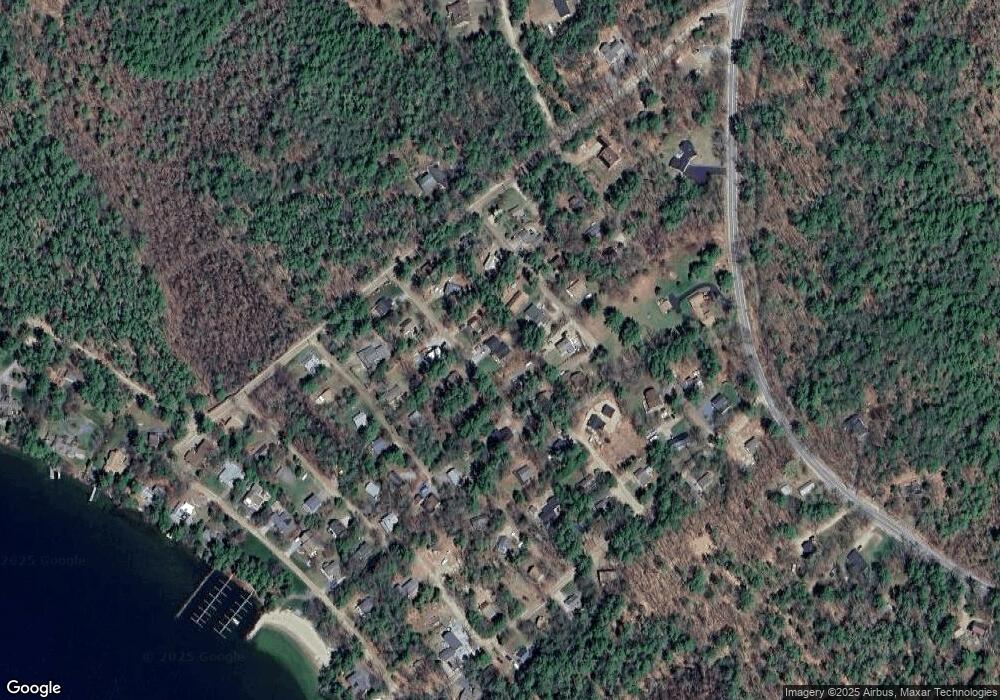
Map
Nearby Homes
- 16 Long Island Rd
- 31 Rays Way
- 00 Moultonboro Neck Rd Unit 2
- 00 Moultonboro Neck Rd
- 00 Beede Rd
- 130 W Point Rd
- 10 Woodridge Rd
- 65 Beede Rd
- 167 Long Island Rd
- 19 Alderberry Ln
- 5 Ferry Rd
- 42 High Ridge Rd
- 152 Wildwood Dr
- 00 Rivers Rd
- 9 Starboard Ln Unit 1
- 14 Island View Dr
- 47 Pot O Beans Rd
- 29 Kona Farm Rd
- 27 First Point Rd
- 67 Hoyt Mill Rd