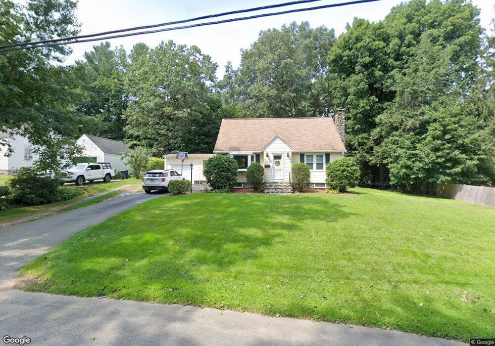
11 Homestead Rd Holden, MA 01520
Estimated Value: $500,640 - $595,000
3
Beds
2
Baths
1,540
Sq Ft
$346/Sq Ft
Est. Value
About This Home
This home is located at 11 Homestead Rd, Holden, MA 01520 and is currently estimated at $532,160, approximately $345 per square foot. 11 Homestead Rd is a home located in Worcester County with nearby schools including Wachusett Regional High School, Bancroft School, and Holden Christian Academy.
Ownership History
Date
Name
Owned For
Owner Type
Purchase Details
Closed on
Mar 25, 2010
Sold by
Hughes John J and Hughes Dorothy A
Bought by
Goodale Ross A and Goodale Megan C
Current Estimated Value
Home Financials for this Owner
Home Financials are based on the most recent Mortgage that was taken out on this home.
Original Mortgage
$245,471
Outstanding Balance
$164,873
Interest Rate
5.25%
Mortgage Type
FHA
Estimated Equity
$367,287
Create a Home Valuation Report for This Property
The Home Valuation Report is an in-depth analysis detailing your home's value as well as a comparison with similar homes in the area
Home Values in the Area
Average Home Value in this Area
Purchase History
| Date | Buyer | Sale Price | Title Company |
|---|---|---|---|
| Goodale Ross A | $250,000 | -- |
Source: Public Records
Mortgage History
| Date | Status | Borrower | Loan Amount |
|---|---|---|---|
| Open | Goodale Ross A | $245,471 |
Source: Public Records
Tax History Compared to Growth
Tax History
| Year | Tax Paid | Tax Assessment Tax Assessment Total Assessment is a certain percentage of the fair market value that is determined by local assessors to be the total taxable value of land and additions on the property. | Land | Improvement |
|---|---|---|---|---|
| 2025 | $5,997 | $432,700 | $148,400 | $284,300 |
| 2024 | $5,635 | $398,200 | $144,100 | $254,100 |
| 2023 | $5,305 | $353,900 | $125,200 | $228,700 |
| 2022 | $5,081 | $306,800 | $97,800 | $209,000 |
| 2021 | $4,926 | $283,100 | $93,100 | $190,000 |
| 2020 | $4,712 | $277,200 | $88,700 | $188,500 |
| 2019 | $4,534 | $259,800 | $88,700 | $171,100 |
| 2018 | $4,383 | $248,900 | $84,500 | $164,400 |
| 2017 | $4,072 | $231,500 | $84,500 | $147,000 |
| 2016 | $3,814 | $221,100 | $80,400 | $140,700 |
| 2015 | $3,892 | $214,800 | $80,400 | $134,400 |
| 2014 | $3,813 | $214,800 | $80,400 | $134,400 |
Source: Public Records
Map
Nearby Homes
- 160 Shrewsbury St
- 27 Mayflower Cir
- 250 Shrewsbury St
- 9 Birchwood Dr
- 23 Gail Dr
- 314 Main St
- 206 Wachusett St
- 189 Holden St
- 47 Banbury Ln
- 156 Newell Rd
- 8 (Lot 1) Holmes Dr
- 15 Lowell Ave
- 48 Lexington Cir
- 2 Explorers Way Unit 2
- 27 Tea Party Cir Unit 27
- 8 Dawson Cir
- 308 Holden St
- 83 Stoneleigh Rd
- 9 Holmes Dr
- 47 Preservation Ln
- 17 Homestead Rd
- 87 Shrewsbury St
- 79 Shrewsbury St
- 73 Shrewsbury St
- 14 Homestead Rd
- 23 Homestead Rd
- 97 Shrewsbury St
- 67 Shrewsbury St
- 103 Shrewsbury St
- 29 Homestead Rd
- 65 Shrewsbury St
- 3 Tyler Dr
- 90 Shrewsbury St
- 28 Homestead Rd
- 4 Tyler Dr
- 10 Chaffins Ln
- 109 Shrewsbury St
- 7 Tyler Dr
- 57 Shrewsbury St
- 37 Homestead Rd