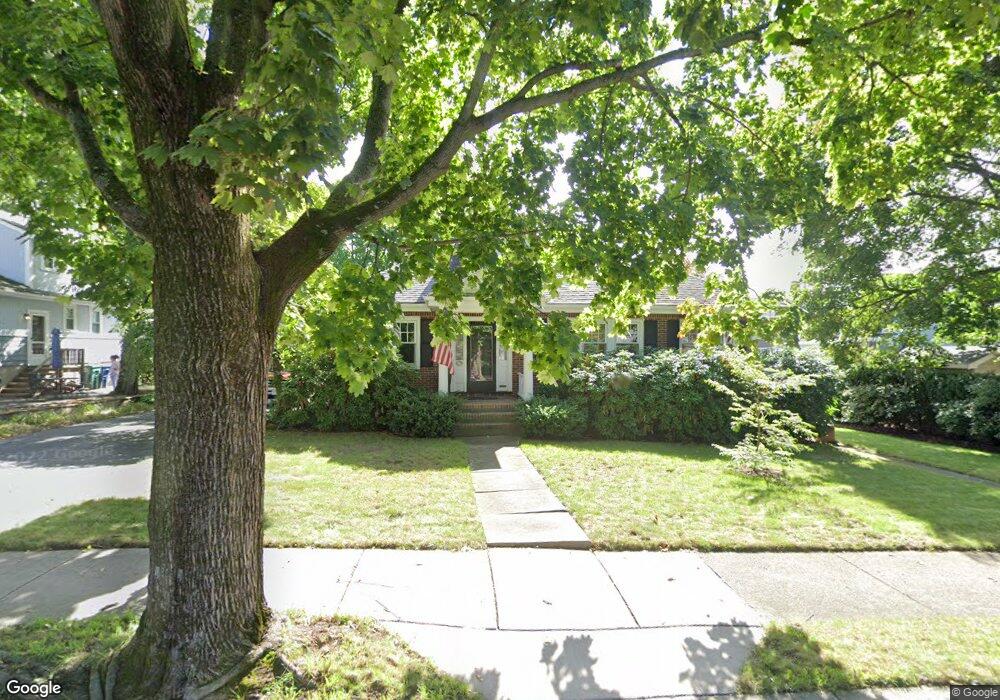
11 James St West Newton, MA 02465
West Newton NeighborhoodEstimated Value: $1,066,000 - $1,203,000
4
Beds
2
Baths
1,707
Sq Ft
$682/Sq Ft
Est. Value
About This Home
This home is located at 11 James St, West Newton, MA 02465 and is currently estimated at $1,164,446, approximately $682 per square foot. 11 James St is a home located in Middlesex County with nearby schools including C.C. Burr, Franklin Elementary School, and F.A. Day Middle School.
Ownership History
Date
Name
Owned For
Owner Type
Purchase Details
Closed on
Mar 18, 2008
Sold by
Macgovern Brenda and Shea Brenda
Bought by
Macgovern Tr Brenda S and Macgovern Edward M
Current Estimated Value
Purchase Details
Closed on
Nov 10, 1989
Sold by
Right Properties Ic
Bought by
Shea Brenda
Purchase Details
Closed on
Jun 15, 1988
Sold by
Parker Louise J
Bought by
Right Properties Inc
Create a Home Valuation Report for This Property
The Home Valuation Report is an in-depth analysis detailing your home's value as well as a comparison with similar homes in the area
Home Values in the Area
Average Home Value in this Area
Purchase History
| Date | Buyer | Sale Price | Title Company |
|---|---|---|---|
| Macgovern Tr Brenda S | -- | -- | |
| Shea Brenda | $235,000 | -- | |
| Right Properties Inc | $140,000 | -- |
Source: Public Records
Mortgage History
| Date | Status | Borrower | Loan Amount |
|---|---|---|---|
| Open | Right Properties Inc | $60,000 | |
| Previous Owner | Right Properties Inc | $30,000 |
Source: Public Records
Tax History Compared to Growth
Tax History
| Year | Tax Paid | Tax Assessment Tax Assessment Total Assessment is a certain percentage of the fair market value that is determined by local assessors to be the total taxable value of land and additions on the property. | Land | Improvement |
|---|---|---|---|---|
| 2025 | $10,461 | $1,067,400 | $865,600 | $201,800 |
| 2024 | $9,896 | $1,013,900 | $840,400 | $173,500 |
| 2023 | $9,317 | $915,200 | $645,600 | $269,600 |
| 2022 | $8,915 | $847,400 | $597,800 | $249,600 |
| 2021 | $8,602 | $799,400 | $564,000 | $235,400 |
| 2020 | $8,346 | $799,400 | $564,000 | $235,400 |
| 2019 | $8,110 | $776,100 | $547,600 | $228,500 |
| 2018 | $7,625 | $704,700 | $496,100 | $208,600 |
| 2017 | $7,393 | $664,800 | $468,000 | $196,800 |
| 2016 | $7,070 | $621,300 | $437,400 | $183,900 |
| 2015 | $6,742 | $580,700 | $408,800 | $171,900 |
Source: Public Records
Map
Nearby Homes
- 265-267 River St Unit 267
- 265-267 River St Unit 265
- 334 River St
- 101-103 Lexington St
- 33 Lill Ave
- 56 Dearborn St
- 44 Westland Ave
- 90 Auburndale Ave
- 31-37 Washington Ave
- 160 Pine St Unit 12
- 24 Tolman St Unit A
- 14 Cottage Place Unit 14
- 25 Tolman St Unit 2
- 5-7 Chester Ave
- 73 Orange St Unit 2
- 106 River St Unit 18
- 106 River St Unit 2
- 106 River St Unit 14
- 2 Elm St Unit 6
- 2 Elm St Unit 8