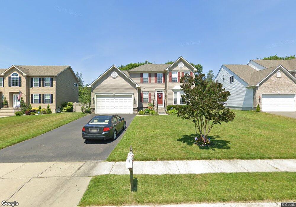
11 Jamie Ct Barnegat, NJ 08005
Barnegat Township NeighborhoodEstimated Value: $654,425 - $748,000
4
Beds
4
Baths
4,005
Sq Ft
$172/Sq Ft
Est. Value
About This Home
This home is located at 11 Jamie Ct, Barnegat, NJ 08005 and is currently estimated at $688,356, approximately $171 per square foot. 11 Jamie Ct is a home located in Ocean County with nearby schools including Barnegat High School.
Ownership History
Date
Name
Owned For
Owner Type
Purchase Details
Closed on
Jan 10, 2008
Current Estimated Value
Home Financials for this Owner
Home Financials are based on the most recent Mortgage that was taken out on this home.
Original Mortgage
$330,150
Outstanding Balance
$208,940
Interest Rate
6.21%
Mortgage Type
Purchase Money Mortgage
Estimated Equity
$479,416
Purchase Details
Closed on
Sep 25, 2007
Sold by
Forte Builders Llc and Forte Wayne R
Bought by
Nvr Inc and Ryan Homes
Create a Home Valuation Report for This Property
The Home Valuation Report is an in-depth analysis detailing your home's value as well as a comparison with similar homes in the area
Home Values in the Area
Average Home Value in this Area
Purchase History
| Date | Buyer | Sale Price | Title Company |
|---|---|---|---|
| -- | $435,400 | -- | |
| Vanderleeuw John R | $435,427 | Counsellors Title Agency Inc | |
| Nvr Inc | $159,250 | Title America Corporation |
Source: Public Records
Mortgage History
| Date | Status | Borrower | Loan Amount |
|---|---|---|---|
| Open | Vanderleeuw John R | $330,150 |
Source: Public Records
Tax History Compared to Growth
Tax History
| Year | Tax Paid | Tax Assessment Tax Assessment Total Assessment is a certain percentage of the fair market value that is determined by local assessors to be the total taxable value of land and additions on the property. | Land | Improvement |
|---|---|---|---|---|
| 2025 | $10,518 | $353,300 | $103,000 | $250,300 |
| 2024 | $10,285 | $353,300 | $103,000 | $250,300 |
| 2023 | $9,952 | $353,300 | $103,000 | $250,300 |
| 2022 | $9,952 | $353,300 | $103,000 | $250,300 |
| 2021 | $9,907 | $353,300 | $103,000 | $250,300 |
| 2020 | $9,861 | $353,300 | $103,000 | $250,300 |
| 2019 | $9,716 | $353,300 | $103,000 | $250,300 |
| 2018 | $9,642 | $353,300 | $103,000 | $250,300 |
| 2017 | $9,483 | $353,300 | $103,000 | $250,300 |
| 2016 | $9,288 | $353,300 | $103,000 | $250,300 |
| 2015 | $8,995 | $353,300 | $103,000 | $250,300 |
| 2014 | $8,765 | $353,300 | $103,000 | $250,300 |
Source: Public Records
Map
Nearby Homes
- 280 Burr St Unit EXT
- 68 Memorial Dr
- 200 Burr Ext St
- 3 Whisper Way
- 9 Trinity Ct
- 10 Trinity Ct
- 3 Trinity Ct
- 6 Trinity Ct
- 7 Trinity Ct
- 170 Gunning River Rd
- 408 N Main St
- 19 Center St
- 0 Trinity Ct Unit Willet Model
- 0 Trinity Ct Unit OSPREY MODEL
- 0 Trinity Ct Unit PUFFIN MODEL
- 0 Trinity Ct Unit BLUE HERON MODEL
- 0 Trinity Ct Unit PLOVER MODEL
- 0 Trinity Ct Unit EGRET MODEL