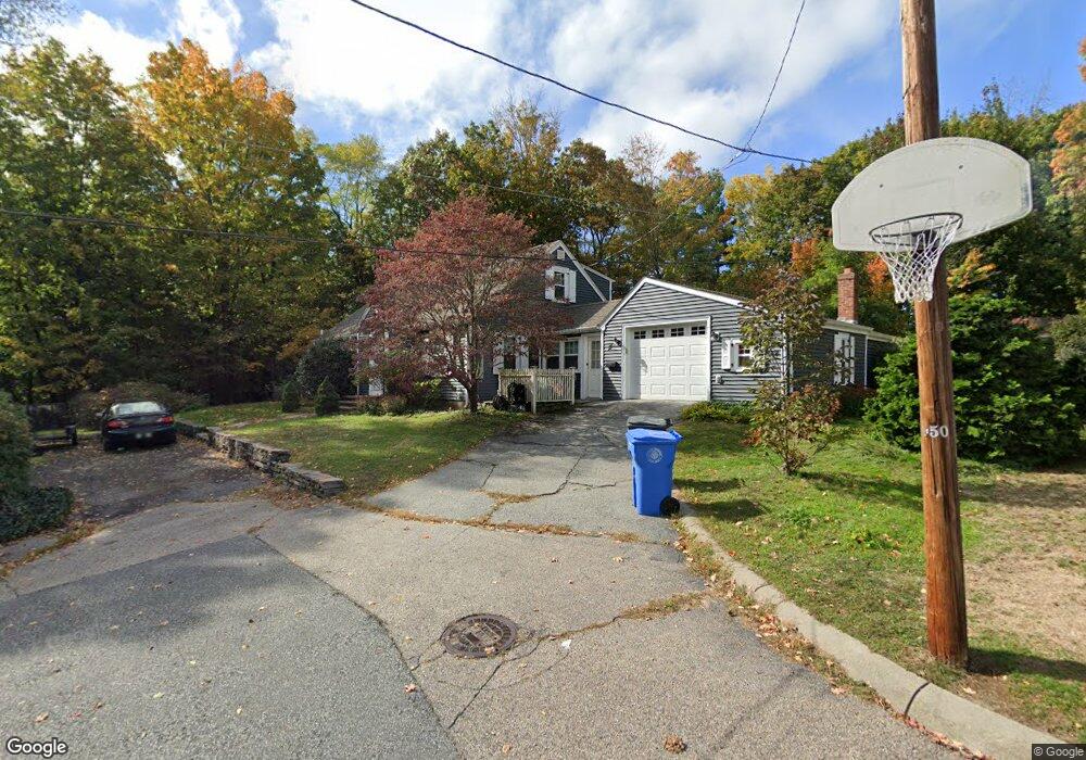
11 King Cir Cranston, RI 02920
Meshanticut NeighborhoodEstimated Value: $439,000 - $591,000
3
Beds
2
Baths
1,914
Sq Ft
$278/Sq Ft
Est. Value
About This Home
This home is located at 11 King Cir, Cranston, RI 02920 and is currently estimated at $531,626, approximately $277 per square foot. 11 King Cir is a home located in Providence County with nearby schools including Glen Hills School, Western Hills Middle School, and Cranston High School West.
Ownership History
Date
Name
Owned For
Owner Type
Purchase Details
Closed on
Oct 8, 2019
Sold by
Wells Fargo Bank Na
Bought by
Tsang Chuntat
Current Estimated Value
Purchase Details
Closed on
Oct 29, 2010
Sold by
Toselli Carole V
Bought by
Kirkmand Rexford A
Home Financials for this Owner
Home Financials are based on the most recent Mortgage that was taken out on this home.
Original Mortgage
$236,811
Interest Rate
4.39%
Mortgage Type
Purchase Money Mortgage
Create a Home Valuation Report for This Property
The Home Valuation Report is an in-depth analysis detailing your home's value as well as a comparison with similar homes in the area
Home Values in the Area
Average Home Value in this Area
Purchase History
| Date | Buyer | Sale Price | Title Company |
|---|---|---|---|
| Tsang Chuntat | $213,799 | None Available | |
| Kirkmand Rexford A | $240,000 | -- |
Source: Public Records
Mortgage History
| Date | Status | Borrower | Loan Amount |
|---|---|---|---|
| Previous Owner | Kirkmand Rexford A | $236,811 |
Source: Public Records
Tax History
| Year | Tax Paid | Tax Assessment Tax Assessment Total Assessment is a certain percentage of the fair market value that is determined by local assessors to be the total taxable value of land and additions on the property. | Land | Improvement |
|---|---|---|---|---|
| 2025 | $6,582 | $474,200 | $132,800 | $341,400 |
| 2024 | $6,454 | $474,200 | $132,800 | $341,400 |
| 2023 | $6,320 | $334,400 | $87,400 | $247,000 |
| 2022 | $6,190 | $334,400 | $87,400 | $247,000 |
| 2021 | $6,019 | $334,400 | $87,400 | $247,000 |
| 2020 | $5,427 | $261,300 | $83,200 | $178,100 |
| 2019 | $5,427 | $261,300 | $83,200 | $178,100 |
| 2018 | $5,302 | $261,300 | $83,200 | $178,100 |
| 2017 | $5,033 | $219,400 | $74,900 | $144,500 |
| 2016 | $4,926 | $219,400 | $74,900 | $144,500 |
| 2015 | $4,926 | $219,400 | $74,900 | $144,500 |
| 2014 | $4,787 | $209,600 | $74,900 | $134,700 |
Source: Public Records
Map
Nearby Homes
- 203 Dean Ridge Ct
- 29 Valley St
- 7 Oak Tree Ln
- 12 Coldbrook Ct
- 140 Lake View Rd
- 9 Williston St
- 105 Coldbrook Dr
- 214 Meshanticut Valley Pkwy
- 210 Summit Dr
- 11 W Blue Ridge Rd
- 178 Highland St
- 527 Lauren Hill Ave
- 51 E Bel Air Rd
- 242 Brettonwoods Dr
- 141 Glen Ridge Rd
- 217 Belvedere Dr
- 58 Meredith Dr
- 175 Hoffman Ave Unit 102
- 157 Sweetbriar Dr
- 80 W View Ave
- 339 Oaklawn Ave
- 7 King Cir
- 333 Oaklawn Ave
- 2234 Cranston St
- 2242 Cranston St
- 325 Oaklawn Ave
- 2226 Cranston St
- 2226 Cranston St
- 2226 Cranston St Unit 2
- 2226 Cranston St Unit 1
- 16 Dean St
- 2244 Cranston St
- 317 Oaklawn Ave
- 22 Dean St
- 2248 Cranston St
- 348 Oaklawn Ave
- 2235 Cranston St
- 309 Oaklawn Ave
- 2212 Cranston St
- 2227 Cranston St
Your Personal Tour Guide
Ask me questions while you tour the home.