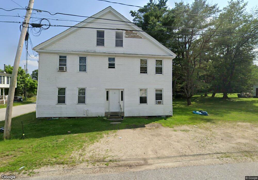
11 Main St Alstead, NH 03602
Estimated Value: $174,000 - $243,994
3
Beds
2
Baths
2,356
Sq Ft
$86/Sq Ft
Est. Value
About This Home
This home is located at 11 Main St, Alstead, NH 03602 and is currently estimated at $202,249, approximately $85 per square foot. 11 Main St is a home with nearby schools including Keene Middle School, Mayland Early College High School, and Keene High School.
Ownership History
Date
Name
Owned For
Owner Type
Purchase Details
Closed on
Mar 22, 2024
Sold by
Murdough Scott E and Murdough Samantha A
Bought by
Britton Hayden A
Current Estimated Value
Home Financials for this Owner
Home Financials are based on the most recent Mortgage that was taken out on this home.
Original Mortgage
$154,000
Outstanding Balance
$151,443
Interest Rate
6.64%
Mortgage Type
Purchase Money Mortgage
Estimated Equity
$50,806
Create a Home Valuation Report for This Property
The Home Valuation Report is an in-depth analysis detailing your home's value as well as a comparison with similar homes in the area
Purchase History
| Date | Buyer | Sale Price | Title Company |
|---|---|---|---|
| Britton Hayden A | $155,000 | None Available | |
| Britton Hayden A | $155,000 | None Available |
Source: Public Records
Mortgage History
| Date | Status | Borrower | Loan Amount |
|---|---|---|---|
| Open | Britton Hayden A | $154,000 | |
| Closed | Britton Hayden A | $154,000 |
Source: Public Records
Tax History Compared to Growth
Tax History
| Year | Tax Paid | Tax Assessment Tax Assessment Total Assessment is a certain percentage of the fair market value that is determined by local assessors to be the total taxable value of land and additions on the property. | Land | Improvement |
|---|---|---|---|---|
| 2024 | $4,002 | $129,100 | $36,300 | $92,800 |
| 2023 | $3,721 | $129,100 | $36,300 | $92,800 |
| 2022 | $3,335 | $129,100 | $36,300 | $92,800 |
| 2021 | $3,190 | $129,100 | $36,300 | $92,800 |
| 2020 | $3,836 | $129,100 | $36,300 | $92,800 |
| 2019 | $3,601 | $112,800 | $31,500 | $81,300 |
| 2018 | $2,869 | $112,800 | $31,500 | $81,300 |
| 2016 | $2,434 | $110,800 | $31,500 | $79,300 |
| 2015 | $2,835 | $110,800 | $31,500 | $79,300 |
| 2014 | $3,399 | $136,330 | $41,040 | $95,290 |
| 2009 | $2,640 | $123,100 | $48,210 | $74,890 |
Source: Public Records
Map
Nearby Homes
- 6 Mill St
- 172 Nh-Rte 123 Route
- 14 Hammann Dr
- 67 Lang Rd
- 138 Stone Pond Rd
- 0 Adams Dr
- 1046 Kings Hwy
- 787 Route 10
- 178 North Rd
- 00 Scenic Dr Unit 22
- 27 Shadowland Rd
- 00 Kennedy Brook Dr Unit 11
- M111 L24&25 Tigola Trail
- 264 Olds Rd
- 0 New Hampshire 10 Unit 7
- 2167 Valley Rd
- 906 Shedd Hill Rd
- 1016 Shedd Hill Rd
- 0 Teela Dr Unit 5037010
- 00 Alstead Center Rd Unit 12b
- 11 Old Main St
- 15 Main St
- 3 Old Main St
- 8 Mill St
- 10 Old Main St
- 685 Nh Route 10
- 119 Nh Route 123
- 12 Mill St
- 121 Forest Rd
- 121 New Hampshire 123
- 20 Mill St
- 00 Washington Pond Rd
- 00 Off Route 123
- 0 Nh Route 123
- Lot 407-008 New Hampshire 123
- 30 Mill St
- 656 Nh Route 10
- 620 Nh Route 10
- 713 New Hampshire 10
- 19 Church St