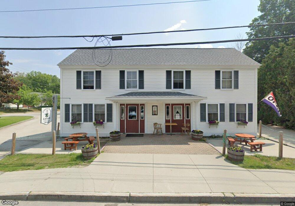
11 Main St Bennington, NH 03442
Estimated Value: $565,306
4
Beds
1
Bath
3,835
Sq Ft
$147/Sq Ft
Est. Value
About This Home
This home is located at 11 Main St, Bennington, NH 03442 and is currently estimated at $565,306, approximately $147 per square foot. 11 Main St is a home located in Hillsborough County with nearby schools including Pierce Elementary School, Great Brook School, and Conval Regional High School.
Ownership History
Date
Name
Owned For
Owner Type
Purchase Details
Closed on
Feb 13, 2026
Sold by
Dovekie Llc
Bought by
Fsh Bennington Llc
Current Estimated Value
Purchase Details
Closed on
Jun 1, 2016
Sold by
11 Main Llc
Bought by
Dovekie Llc
Purchase Details
Closed on
Jun 1, 2012
Sold by
High Bank Props Llc
Bought by
11 Main Llc
Purchase Details
Closed on
Feb 23, 1998
Sold by
Fnma
Bought by
Open View Invsts
Home Financials for this Owner
Home Financials are based on the most recent Mortgage that was taken out on this home.
Original Mortgage
$22,250
Interest Rate
6.9%
Mortgage Type
Commercial
Create a Home Valuation Report for This Property
The Home Valuation Report is an in-depth analysis detailing your home's value as well as a comparison with similar homes in the area
Home Values in the Area
Average Home Value in this Area
Purchase History
| Date | Buyer | Sale Price | Title Company |
|---|---|---|---|
| Fsh Bennington Llc | $475,000 | -- | |
| Dovekie Llc | $259,933 | -- | |
| Dovekie Llc | $259,933 | -- | |
| 11 Main Llc | $265,000 | -- | |
| 11 Main Llc | $265,000 | -- | |
| Open View Invsts | $22,000 | -- | |
| Open View Invsts | $22,000 | -- |
Source: Public Records
Mortgage History
| Date | Status | Borrower | Loan Amount |
|---|---|---|---|
| Previous Owner | Open View Invsts | $190,000 | |
| Previous Owner | Open View Invsts | $22,250 |
Source: Public Records
Tax History
| Year | Tax Paid | Tax Assessment Tax Assessment Total Assessment is a certain percentage of the fair market value that is determined by local assessors to be the total taxable value of land and additions on the property. | Land | Improvement |
|---|---|---|---|---|
| 2024 | $6,507 | $289,600 | $52,500 | $237,100 |
| 2023 | $9,311 | $289,600 | $52,500 | $237,100 |
| 2022 | $9,166 | $289,600 | $52,500 | $237,100 |
| 2020 | $5,870 | $289,600 | $52,500 | $237,100 |
| 2019 | $7,763 | $289,600 | $52,500 | $237,100 |
| 2018 | $5,407 | $253,800 | $42,000 | $211,800 |
| 2017 | $13,611 | $253,800 | $42,000 | $211,800 |
| 2016 | $8,066 | $253,800 | $42,000 | $211,800 |
| 2015 | $7,761 | $253,800 | $42,000 | $211,800 |
| 2014 | $7,411 | $253,800 | $42,000 | $211,800 |
| 2013 | $7,351 | $289,400 | $60,000 | $229,400 |
Source: Public Records
Map
Nearby Homes
- 8 Main St
- 10 Old Stagecoach Rd
- 25 Halcyon Place
- 31 Moose Brook Ln
- 237 N Bennington Rd
- 137 Muzzy Hill Rd
- 13 Elm St
- 576 Francestown Rd Unit D5
- 44 Buttercup Ln
- 1481 Bennington Rd
- 18 Antrim Rd
- 008-043-001 School House Rd
- 008-043-000 School House Rd
- 7 Spring Hill Rd
- 1388 Forest Rd
- Lot R11-11-1 Forest Rd
- Lot 7-13 Mountain Rd
- 146 Old Bennington Rd
- 38 Main St
- 1195 Bennington Rd
- 9 Main St
- 0 S Bennington Rd Unit 4680208
- 16 Main St
- 0 Greenfield Rd
- 0 Greenfield Rd Unit 4489760
- 2 Greenfield Rd
- 12 Main St
- 12 School St
- 14 Francestown Rd
- 15 Francestown Rd
- 9 Cross St
- 7 Acre St
- 7 Cross St
- 16 Francestown Rd
- 7&5 Cross St
- 11 Cross St
- 29 Acre St
- 31 Acre St
- 10 Greenfield Rd Unit Rear
- 10 Greenfield Rd
Your Personal Tour Guide
Ask me questions while you tour the home.