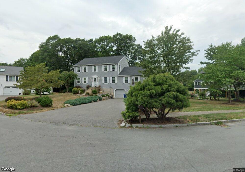
11 Manoogian Cir Milford, MA 01757
Estimated Value: $698,812 - $780,000
4
Beds
3
Baths
2,676
Sq Ft
$274/Sq Ft
Est. Value
About This Home
This home is located at 11 Manoogian Cir, Milford, MA 01757 and is currently estimated at $733,953, approximately $274 per square foot. 11 Manoogian Cir is a home located in Worcester County with nearby schools including Milford High School.
Ownership History
Date
Name
Owned For
Owner Type
Purchase Details
Closed on
Mar 28, 1991
Sold by
Crisp Gary P and Crisp Julie A
Bought by
Marts Thomas E and Marts Sandra J
Current Estimated Value
Purchase Details
Closed on
Feb 29, 1988
Sold by
Picone Diane
Bought by
Crisp G P
Purchase Details
Closed on
Jan 8, 1987
Sold by
Anchorage Rlty Tr
Bought by
Picone Carmen L
Create a Home Valuation Report for This Property
The Home Valuation Report is an in-depth analysis detailing your home's value as well as a comparison with similar homes in the area
Home Values in the Area
Average Home Value in this Area
Purchase History
| Date | Buyer | Sale Price | Title Company |
|---|---|---|---|
| Marts Thomas E | $19,600 | -- | |
| Marts Thomas E | $19,600 | -- | |
| Crisp G P | $245,000 | -- | |
| Picone Carmen L | $234,950 | -- |
Source: Public Records
Mortgage History
| Date | Status | Borrower | Loan Amount |
|---|---|---|---|
| Open | Picone Carmen L | $81,917 | |
| Open | Picone Carmen L | $150,000 | |
| Closed | Picone Carmen L | $154,600 |
Source: Public Records
Tax History Compared to Growth
Tax History
| Year | Tax Paid | Tax Assessment Tax Assessment Total Assessment is a certain percentage of the fair market value that is determined by local assessors to be the total taxable value of land and additions on the property. | Land | Improvement |
|---|---|---|---|---|
| 2025 | $8,178 | $638,900 | $193,400 | $445,500 |
| 2024 | $8,084 | $608,300 | $186,000 | $422,300 |
| 2023 | $7,517 | $520,200 | $154,400 | $365,800 |
| 2022 | $7,021 | $456,200 | $141,300 | $314,900 |
| 2021 | $6,651 | $416,200 | $141,300 | $274,900 |
| 2020 | $6,564 | $411,300 | $141,300 | $270,000 |
| 2019 | $6,371 | $385,200 | $141,300 | $243,900 |
| 2018 | $6,318 | $381,500 | $137,600 | $243,900 |
| 2017 | $6,096 | $363,100 | $137,600 | $225,500 |
| 2016 | $5,963 | $347,100 | $137,600 | $209,500 |
| 2015 | $5,955 | $339,300 | $137,600 | $201,700 |
Source: Public Records
Map
Nearby Homes
- 250 Congress St
- 20 Senate Rd
- 44 Woodridge Rd
- 8 Vassar Dr
- 8 Colonial Rd
- 5 Stanford Cir
- 13 Hemlock Ln
- 54 Village Cir Unit 54
- 9 Robin Rd
- 44 Silver Hill Rd
- 56 Village Cir
- 94 Highland St
- 1 Godfrey Ln Unit 1
- 14 C Country Club Ln
- 1 Tyler St
- 62 Field Pond Rd
- 4 Kennedy Ln Unit 49
- 33 Country Club Ln Unit D
- 104 Purchase St
- 21 Shadowbrook Ln Unit 13