11 Mill Pond Ln Grantham, NH 03753
Estimated Value: $578,000 - $675,000
3
Beds
2
Baths
2,024
Sq Ft
$302/Sq Ft
Est. Value
About This Home
This home is located at 11 Mill Pond Ln, Grantham, NH 03753 and is currently estimated at $610,673, approximately $301 per square foot. 11 Mill Pond Ln is a home located in Sullivan County with nearby schools including Grantham Village School and Lebanon High School.
Ownership History
Date
Name
Owned For
Owner Type
Purchase Details
Closed on
Mar 23, 2016
Sold by
Small John C and Small Theremarge A
Bought by
Casavant Sean and Wood Megan R
Current Estimated Value
Home Financials for this Owner
Home Financials are based on the most recent Mortgage that was taken out on this home.
Original Mortgage
$228,000
Outstanding Balance
$177,975
Interest Rate
3.65%
Mortgage Type
New Conventional
Estimated Equity
$432,698
Purchase Details
Closed on
Jun 25, 2004
Sold by
Waterman Kathryn O
Bought by
Small John C and Small Themarge A
Home Financials for this Owner
Home Financials are based on the most recent Mortgage that was taken out on this home.
Original Mortgage
$60,000
Interest Rate
6.32%
Mortgage Type
Purchase Money Mortgage
Create a Home Valuation Report for This Property
The Home Valuation Report is an in-depth analysis detailing your home's value as well as a comparison with similar homes in the area
Home Values in the Area
Average Home Value in this Area
Purchase History
| Date | Buyer | Sale Price | Title Company |
|---|---|---|---|
| Casavant Sean | $240,000 | -- | |
| Casavant Sean | $240,000 | -- | |
| Small John C | $365,000 | -- | |
| Small John C | $365,000 | -- |
Source: Public Records
Mortgage History
| Date | Status | Borrower | Loan Amount |
|---|---|---|---|
| Open | Casavant Sean | $228,000 | |
| Previous Owner | Small John C | $70,000 | |
| Previous Owner | Small John C | $60,000 |
Source: Public Records
Tax History
| Year | Tax Paid | Tax Assessment Tax Assessment Total Assessment is a certain percentage of the fair market value that is determined by local assessors to be the total taxable value of land and additions on the property. | Land | Improvement |
|---|---|---|---|---|
| 2025 | $8,764 | $440,400 | $39,300 | $401,100 |
| 2024 | $9,570 | $440,400 | $39,300 | $401,100 |
| 2023 | $8,623 | $440,400 | $39,300 | $401,100 |
| 2022 | $8,002 | $440,400 | $39,300 | $401,100 |
| 2021 | $7,799 | $311,200 | $46,300 | $264,900 |
| 2020 | $7,845 | $311,200 | $46,300 | $264,900 |
| 2019 | $7,298 | $264,700 | $44,500 | $220,200 |
| 2018 | $7,356 | $264,700 | $44,500 | $220,200 |
| 2017 | $6,705 | $264,700 | $44,500 | $220,200 |
| 2016 | $6,310 | $264,700 | $44,500 | $220,200 |
| 2015 | $6,385 | $264,700 | $44,500 | $220,200 |
| 2014 | $6,812 | $305,900 | $69,800 | $236,100 |
| 2013 | $6,558 | $305,900 | $69,800 | $236,100 |
Source: Public Records
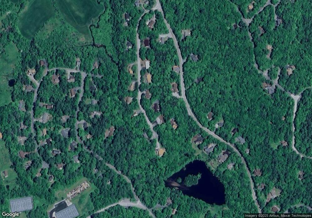
Map
Nearby Homes
- 28 Old Spring Dr
- 23 High Pond Rd
- 00 Route 10 N
- 608 Otter Rd
- 840 Cove Dr
- 14 Oak Ln
- 64 High Pond Rd
- 21 Shore Rd
- 295 Frye Ln
- 12 Cherry Ln
- 8 Sandy Brae
- 3 Trillium Ln
- 155 Top of The World Rd
- 00 Miller Pond Rd
- 54 Black Duck Spur
- 9 Pleasant Dr
- 0 Route 10 N Unit 5058175
- 26 Barn Owl Overlook
- 672 Bog Rd
- 27 Spring Valley Dr
- 11 Mill Pond Rd
- 13 Mill Pond Rd
- 13 Mill Pond Rd
- 9 Mill Pond Rd
- 9 Mill Pond Ln
- 14 Mill Pond Rd
- 19 Butternut Rd
- 12 Mill Pond Rd
- 16 Mill Pond Rd
- 7 Mill Pond Ln
- 10 Mill Pond Rd
- 25 Butternut Rd
- 47 Butternut Rd
- 20 Butternut Rd
- 29 Butternut Rd
- 5 Mill Pond Rd
- 15 Mill Pond Rd
- 24 Butternut Rd
- 24 Old Spring Dr
- 15 Butternut Rd
Your Personal Tour Guide
Ask me questions while you tour the home.