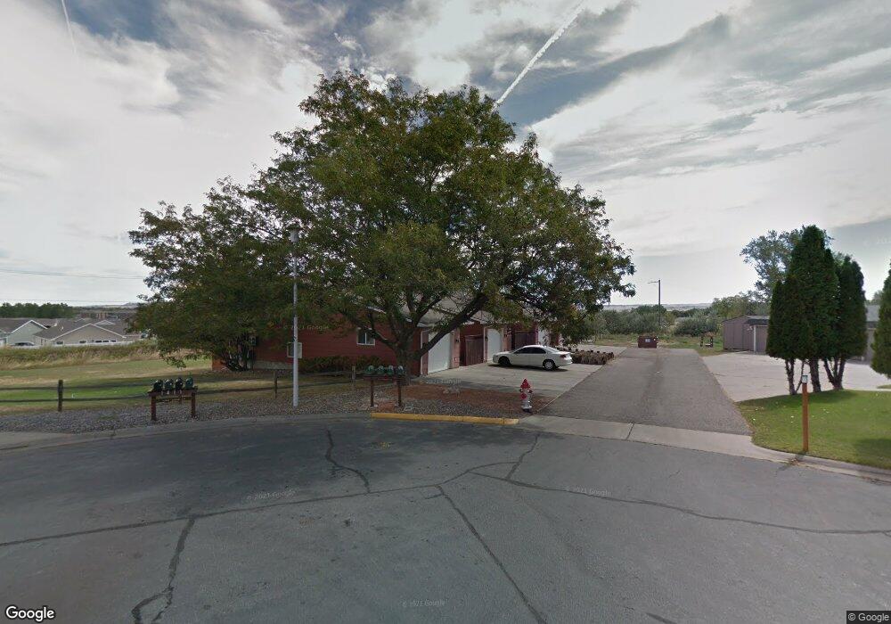
11 Miners Place Unit 1 Billings, MT 59105
Billings Heights NeighborhoodEstimated Value: $211,000 - $237,511
2
Beds
2
Baths
1,238
Sq Ft
$180/Sq Ft
Est. Value
About This Home
This home is located at 11 Miners Place Unit 1, Billings, MT 59105 and is currently estimated at $222,878, approximately $180 per square foot. 11 Miners Place Unit 1 is a home located in Yellowstone County with nearby schools including Sandstone School, Castle Rock Junior High School, and Skyview High School.
Ownership History
Date
Name
Owned For
Owner Type
Purchase Details
Closed on
May 27, 2010
Sold by
Lafayette Wendy N
Bought by
Chapman Courtney R
Current Estimated Value
Home Financials for this Owner
Home Financials are based on the most recent Mortgage that was taken out on this home.
Original Mortgage
$89,500
Outstanding Balance
$60,159
Interest Rate
5.03%
Mortgage Type
New Conventional
Estimated Equity
$162,719
Purchase Details
Closed on
Feb 28, 2006
Sold by
Dills Douglas M and Dills Renee L
Bought by
Lafayette Wendy N and Cornelius Jordan B
Home Financials for this Owner
Home Financials are based on the most recent Mortgage that was taken out on this home.
Original Mortgage
$74,000
Interest Rate
6.04%
Mortgage Type
New Conventional
Create a Home Valuation Report for This Property
The Home Valuation Report is an in-depth analysis detailing your home's value as well as a comparison with similar homes in the area
Home Values in the Area
Average Home Value in this Area
Purchase History
| Date | Buyer | Sale Price | Title Company |
|---|---|---|---|
| Chapman Courtney R | -- | None Available | |
| Lafayette Wendy N | -- | None Available |
Source: Public Records
Mortgage History
| Date | Status | Borrower | Loan Amount |
|---|---|---|---|
| Open | Chapman Courtney R | $89,500 | |
| Previous Owner | Lafayette Wendy N | $74,000 |
Source: Public Records
Tax History Compared to Growth
Tax History
| Year | Tax Paid | Tax Assessment Tax Assessment Total Assessment is a certain percentage of the fair market value that is determined by local assessors to be the total taxable value of land and additions on the property. | Land | Improvement |
|---|---|---|---|---|
| 2025 | $1,828 | $254,400 | $34,828 | $219,572 |
| 2024 | $1,828 | $187,500 | $28,533 | $158,967 |
| 2023 | $1,847 | $187,500 | $28,533 | $158,967 |
| 2022 | $1,235 | $130,800 | $0 | $0 |
| 2021 | $1,440 | $130,800 | $0 | $0 |
| 2020 | $1,557 | $137,800 | $0 | $0 |
| 2019 | $1,499 | $139,100 | $0 | $0 |
| 2018 | $1,432 | $130,000 | $0 | $0 |
| 2017 | $1,203 | $130,000 | $0 | $0 |
| 2016 | $1,298 | $122,100 | $0 | $0 |
| 2015 | $1,269 | $122,100 | $0 | $0 |
| 2014 | $1,105 | $55,756 | $0 | $0 |
Source: Public Records
Map
Nearby Homes
- 1422 Watson Peak Rd
- 1410 Twin Oaks Dr
- TBD Saint Andrews Dr
- 1443 Twin Oaks Dr
- 277 Westchester Square S
- 69 Nugget Place
- 1322 Babcock Cir
- 1029 Nutter Blvd
- 130 132 Stillwater Ln
- 218 Reda Ln Unit 4
- 218 Reda Ln Unit 3
- 385 Prospectors Ln
- 228 Nash Ln
- 211 Stillwater Ln
- 1717 Sylvan Ln
- 225 Windsor Cir N
- 1725 Broadview Dr
- 104 Stillwater Ln
- 210 Covert Ln
- 424 Wicks Ln
- 11 Miners Place
- 11 Miners Place
- 11 Miners Place
- 11 Miners Place
- 11 Miners Place Unit 2
- 11 Miners Place Unit 4
- 10 Miners Place
- 1406 Watson Peak Rd
- 1402 Watson Peak Rd
- 1402 Watson Peak Rd
- 20 Miners Place
- 1404 Watson Peak Rd
- 1408 Watson Peak Rd
- 1410 Watson Peak Rd
- 1396 Watson Peak Rd
- 1396 Watson Peak Rd
- 1421 Sourdough Ln
- 1412 Watson Peak Rd
- 1412 Watson Peak Rd
- 1392 Watson Peak Rd