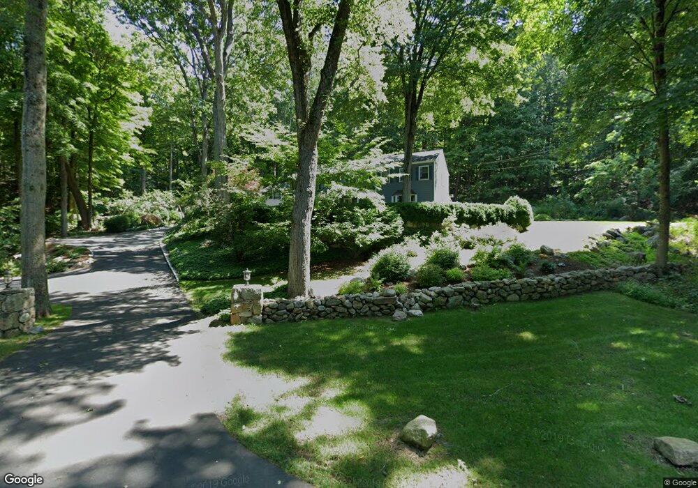
11 Newtown Turnpike Weston, CT 06883
Estimated Value: $1,275,000 - $1,806,000
5
Beds
5
Baths
3,764
Sq Ft
$397/Sq Ft
Est. Value
About This Home
This home is located at 11 Newtown Turnpike, Weston, CT 06883 and is currently estimated at $1,495,793, approximately $397 per square foot. 11 Newtown Turnpike is a home located in Fairfield County with nearby schools including Hurlbutt Elementary School, Weston Intermediate School, and Weston Middle School.
Ownership History
Date
Name
Owned For
Owner Type
Purchase Details
Closed on
Jun 23, 2004
Sold by
Oconnor Raymond S and Oconnor Constance L
Bought by
Schreder Kurt and Schreoer Caroline Paulus
Current Estimated Value
Purchase Details
Closed on
Aug 12, 1994
Sold by
Mathies David and Mathies Deborah
Bought by
Oconnor Raymond and Oconnor Constance
Create a Home Valuation Report for This Property
The Home Valuation Report is an in-depth analysis detailing your home's value as well as a comparison with similar homes in the area
Home Values in the Area
Average Home Value in this Area
Purchase History
| Date | Buyer | Sale Price | Title Company |
|---|---|---|---|
| Schreder Kurt | $832,500 | -- | |
| Oconnor Raymond | $465,000 | -- |
Source: Public Records
Mortgage History
| Date | Status | Borrower | Loan Amount |
|---|---|---|---|
| Open | Oconnor Raymond | $400,000 | |
| Closed | Oconnor Raymond | $398,000 | |
| Closed | Oconnor Raymond | $417,000 |
Source: Public Records
Tax History Compared to Growth
Tax History
| Year | Tax Paid | Tax Assessment Tax Assessment Total Assessment is a certain percentage of the fair market value that is determined by local assessors to be the total taxable value of land and additions on the property. | Land | Improvement |
|---|---|---|---|---|
| 2025 | $18,794 | $786,380 | $217,560 | $568,820 |
| 2024 | $18,456 | $786,380 | $217,560 | $568,820 |
| 2023 | $17,403 | $526,420 | $217,560 | $308,860 |
| 2022 | $17,356 | $526,420 | $217,560 | $308,860 |
| 2021 | $5,722 | $526,420 | $217,560 | $308,860 |
| 2020 | $17,040 | $526,420 | $217,560 | $308,860 |
| 2019 | $17,040 | $526,420 | $217,560 | $308,860 |
| 2018 | $5,666 | $589,900 | $238,600 | $351,300 |
| 2017 | $17,054 | $589,900 | $238,600 | $351,300 |
| 2016 | $16,848 | $589,900 | $238,600 | $351,300 |
| 2015 | $16,912 | $589,900 | $238,600 | $351,300 |
| 2014 | $16,659 | $589,900 | $238,600 | $351,300 |
Source: Public Records
Map
Nearby Homes
- 81 Norfield Rd
- 76 Sturges Ridge Rd
- 8 Hedgerow Common
- 32 Kettle Creek Rd
- 93 E Meadow Rd
- 4 Good Hill Rd
- 41 Calvin Rd
- 55 Liberty St
- 30 Coley Rd
- 185 Sturges Ridge Rd
- 110 Dudley Rd
- 17 Huckleberry Ln
- 4A Newtown Turnpike
- 10 Wilton Hunt Rd
- 31 Riverfield Dr
- 214 Good Hill Rd
- 40 Hermit Ln
- 29 Salem Rd
- 25 Hermit Ln
- 335 Georgetown Rd