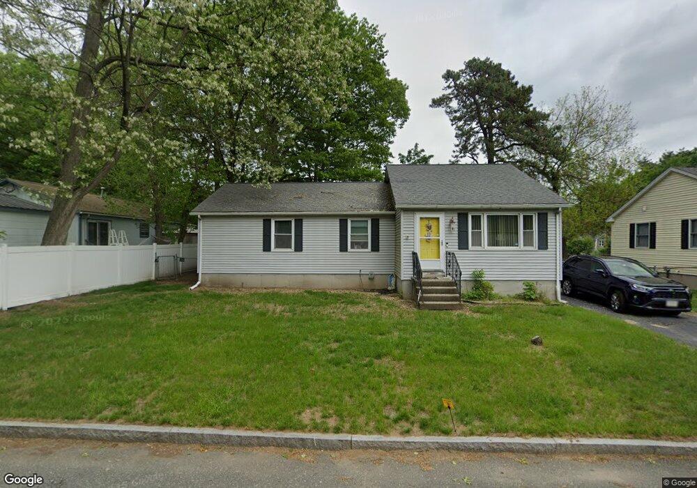
11 Pascal Dr Springfield, MA 01119
Pine Point NeighborhoodEstimated Value: $257,000 - $308,000
3
Beds
2
Baths
1,248
Sq Ft
$230/Sq Ft
Est. Value
About This Home
This home is located at 11 Pascal Dr, Springfield, MA 01119 and is currently estimated at $286,638, approximately $229 per square foot. 11 Pascal Dr is a home located in Hampden County with nearby schools including Thomas M Balliet Elementary School, John J Duggan Middle, and Springfield Central High School.
Ownership History
Date
Name
Owned For
Owner Type
Purchase Details
Closed on
Jul 11, 1996
Sold by
Hap Inc
Bought by
Dwight Susan and Elzy Willie C
Current Estimated Value
Home Financials for this Owner
Home Financials are based on the most recent Mortgage that was taken out on this home.
Original Mortgage
$69,350
Interest Rate
7.98%
Mortgage Type
Purchase Money Mortgage
Purchase Details
Closed on
Jul 5, 1995
Sold by
Mhfa
Bought by
Hap Inc
Purchase Details
Closed on
Feb 24, 1994
Sold by
Baki Ali S and Baki Christine J
Bought by
Mhfa
Purchase Details
Closed on
Aug 17, 1988
Sold by
Jc-Becon Realty Inc
Bought by
Baki Ali S
Home Financials for this Owner
Home Financials are based on the most recent Mortgage that was taken out on this home.
Original Mortgage
$82,600
Interest Rate
10.32%
Mortgage Type
Purchase Money Mortgage
Create a Home Valuation Report for This Property
The Home Valuation Report is an in-depth analysis detailing your home's value as well as a comparison with similar homes in the area
Home Values in the Area
Average Home Value in this Area
Purchase History
| Date | Buyer | Sale Price | Title Company |
|---|---|---|---|
| Dwight Susan | $73,000 | -- | |
| Hap Inc | $63,000 | -- | |
| Mhfa | $78,000 | -- | |
| Baki Ali S | $87,000 | -- |
Source: Public Records
Mortgage History
| Date | Status | Borrower | Loan Amount |
|---|---|---|---|
| Open | Baki Ali S | $52,000 | |
| Closed | Baki Ali S | $69,350 | |
| Previous Owner | Baki Ali S | $82,600 | |
| Closed | Baki Ali S | $3,879 |
Source: Public Records
Tax History
| Year | Tax Paid | Tax Assessment Tax Assessment Total Assessment is a certain percentage of the fair market value that is determined by local assessors to be the total taxable value of land and additions on the property. | Land | Improvement |
|---|---|---|---|---|
| 2025 | $3,642 | $232,300 | $38,600 | $193,700 |
| 2024 | $3,585 | $223,200 | $38,600 | $184,600 |
| 2023 | $3,615 | $212,000 | $34,100 | $177,900 |
| 2022 | $3,017 | $160,300 | $31,900 | $128,400 |
| 2021 | $3,028 | $160,200 | $29,000 | $131,200 |
| 2020 | $2,713 | $138,900 | $29,000 | $109,900 |
| 2019 | $2,710 | $137,700 | $30,000 | $107,700 |
| 2018 | $2,657 | $135,000 | $30,000 | $105,000 |
| 2017 | $2,711 | $137,900 | $33,000 | $104,900 |
| 2016 | $2,393 | $121,700 | $33,000 | $88,700 |
| 2015 | $2,356 | $119,800 | $33,000 | $86,800 |
Source: Public Records
Map
Nearby Homes
- 195 Almira Rd
- 106 Almira Rd
- 130 Spear Rd
- 543 Boston Rd
- - Glenwood St
- 187 Lamont St
- 854 Grayson Dr
- 34 Wallace St
- 39 Wallace St
- 54 Bernard St
- 78 Massreco St
- 251 Rosewell St
- 64 Wilmington St
- 54 Seymour Ave
- 108 Barre St
- 56 Contessa Ln
- 70 Shumway St Unit 29
- 150 Seymour Ave
- 106-108 Breckwood Cir
- 19 Emily St
Your Personal Tour Guide
Ask me questions while you tour the home.