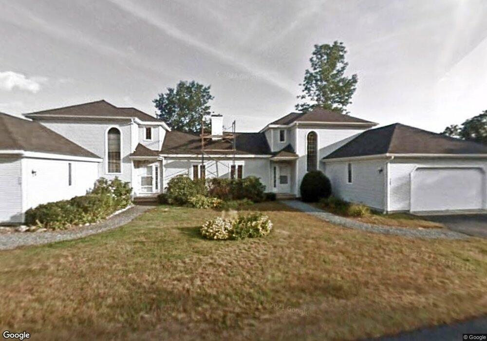
11 Plankey Dr Unit A Bristol, NH 03222
Estimated Value: $398,000 - $422,000
2
Beds
2
Baths
2,019
Sq Ft
$202/Sq Ft
Est. Value
About This Home
This home is located at 11 Plankey Dr Unit A, Bristol, NH 03222 and is currently estimated at $407,937, approximately $202 per square foot. 11 Plankey Dr Unit A is a home located in Grafton County.
Ownership History
Date
Name
Owned For
Owner Type
Purchase Details
Closed on
Oct 5, 2017
Sold by
Miller Stephen S
Bought by
Hill Marilyn R
Current Estimated Value
Home Financials for this Owner
Home Financials are based on the most recent Mortgage that was taken out on this home.
Original Mortgage
$90,000
Outstanding Balance
$75,256
Interest Rate
3.86%
Mortgage Type
Purchase Money Mortgage
Estimated Equity
$332,681
Purchase Details
Closed on
Jun 12, 2017
Sold by
Katherine K Miller T
Bought by
Miller Stephen S
Purchase Details
Closed on
May 26, 2015
Sold by
Sheehan Thomas J and Sheehan Joni L
Bought by
Katherine K Miller T
Create a Home Valuation Report for This Property
The Home Valuation Report is an in-depth analysis detailing your home's value as well as a comparison with similar homes in the area
Home Values in the Area
Average Home Value in this Area
Purchase History
| Date | Buyer | Sale Price | Title Company |
|---|---|---|---|
| Hill Marilyn R | $175,000 | -- | |
| Miller Stephen S | -- | -- | |
| Katherine K Miller T | $160,000 | -- |
Source: Public Records
Mortgage History
| Date | Status | Borrower | Loan Amount |
|---|---|---|---|
| Open | Katherine K Miller T | $90,000 | |
| Previous Owner | Katherine K Miller T | $85,000 |
Source: Public Records
Tax History Compared to Growth
Tax History
| Year | Tax Paid | Tax Assessment Tax Assessment Total Assessment is a certain percentage of the fair market value that is determined by local assessors to be the total taxable value of land and additions on the property. | Land | Improvement |
|---|---|---|---|---|
| 2024 | $4,301 | $182,100 | $0 | $182,100 |
| 2023 | $4,143 | $182,100 | $0 | $182,100 |
| 2022 | $3,822 | $182,100 | $0 | $182,100 |
| 2021 | $3,745 | $185,300 | $0 | $185,300 |
| 2020 | $3,834 | $185,300 | $0 | $185,300 |
| 2019 | $3,584 | $157,200 | $0 | $157,200 |
| 2018 | $3,427 | $157,200 | $0 | $157,200 |
| 2017 | $3,479 | $157,200 | $0 | $157,200 |
| 2016 | $3,241 | $157,200 | $0 | $157,200 |
| 2015 | $3,166 | $157,300 | $0 | $157,300 |
| 2014 | $3,166 | $157,300 | $0 | $157,300 |
| 2013 | -- | $157,300 | $0 | $157,300 |
Source: Public Records
Map
Nearby Homes
- 26 Don Gerry Rd
- 35 Manor Estates Dr Unit 14
- 333 Lake St
- 29 Daniels Rd
- Lot 7 Hall Rd
- Lots 1 & 2 Hall Rd
- 135 Pleasant St
- 30 Beech St Unit 4B
- 30 Beech St Unit 4C
- 383 Wulamat Rd
- 94 Mandi Ln
- 150 Peaked Hill Rd
- 199 Cottage City Rd
- 40 Adams Rd
- 00 Peaked Hill Rd Unit 7.1, 7.2, 7.3, 7.4,
- 114 Ledgewood Terrace
- 862 Mayhew Turnpike Unit 1
- 125 Verrill Rd
- 00 Borough Rd Unit 1,2
- 80 Patten Rd
- 11 Plankey Dr Unit 11A
- 11 Plankey Dr Unit 2
- 11 Plankey Dr Unit A
- 11 Plankey Rd Unit 2
- 11 Plankey Dr Unit 2
- 21 Redbone Dr
- 21 Redbone Dr Unit 7
- 25 Redbone Dr
- 56 Windridge Rd
- 10 Walker Dr Unit B
- 10 Walker Dr Unit A
- 10 Walker Dr
- 66 Windridge Rd Unit B
- 66 Windridge Rd Unit A
- 66 Windridge Rd Unit 35
- 66 Windridge Rd
- 150 Riverdale Rd
- 58 Windridge Rd Unit 37
- 58 Windridge Rd
- 58 Windridge Rd Unit 37,58