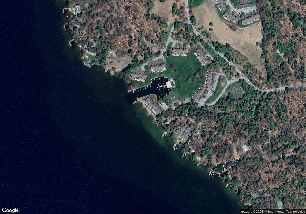
11 Portside Dr Moultonborough, NH 03254
3
Beds
3
Baths
2,372
Sq Ft
--
Built
About This Home
This home is located at 11 Portside Dr, Moultonborough, NH 03254. 11 Portside Dr is a home located in Carroll County with nearby schools including Moultonborough Central School and Moultonborough Academy High School.
Create a Home Valuation Report for This Property
The Home Valuation Report is an in-depth analysis detailing your home's value as well as a comparison with similar homes in the area
Home Values in the Area
Average Home Value in this Area
Tax History Compared to Growth
Map
Nearby Homes
- 9 Starboard Ln Unit 1
- 00 Rivers Rd
- 167 Long Island Rd
- 10 Woodridge Rd
- 16 Long Island Rd
- 00 Beede Rd
- 14 Island View Dr
- 31 Rays Way
- 19 Wawbeek Rd Unit one
- 5 Ferry Rd
- 1 Barbers Pole Rd Unit 2
- 7 Flint Dr
- 323 Governor Wentworth Hwy
- 5 Bennett Farm Rd
- 29 Kona Farm Rd
- 63 Varney Point Road Right
- 47 Varney Point Road Right
- 24 Dock Rd Unit 22
- 24 Dock Rd Unit 18
- 4 Mill Pond Rd
- 11 Portside Dr Unit 4
- 11 Portside Dr Unit 3
- 11 Portside Dr Unit 2
- 11 Portside Dr Unit 1
- 61 Pot O Beans Rd
- 10 Portside Dr Unit 1
- 10 Portside Dr Unit 2
- 7 Starboard Ln Unit 1
- 7 Starboard Ln Unit 2
- 7 Starboard Ln Unit 3
- 7 Starboard Ln Unit 4
- 9 Starboard Ln Unit 2
- 9 Starboard Ln Unit 3
- 9 Starboard Ln Unit 4
- 9 Starboard Ln
- 6 Portside Dr Unit 1
- 6 Portside Dr Unit 2
- 6 Portside Dr Unit 3
- 6 Portside Dr Unit 4
- 3 Starboard Ln Unit 1