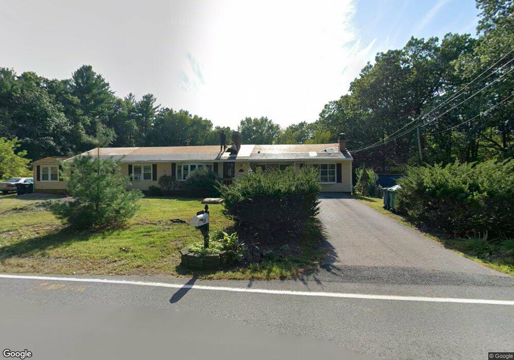
11 Ridge Rd Nashua, NH 03062
Southwest Nashua NeighborhoodEstimated Value: $609,000 - $725,000
3
Beds
3
Baths
1,718
Sq Ft
$398/Sq Ft
Est. Value
About This Home
This home is located at 11 Ridge Rd, Nashua, NH 03062 and is currently estimated at $682,943, approximately $397 per square foot. 11 Ridge Rd is a home located in Hillsborough County with nearby schools including Main Dunstable School, Elm Street Middle School, and Nashua High School South.
Ownership History
Date
Name
Owned For
Owner Type
Purchase Details
Closed on
Jul 31, 2023
Sold by
Dieter P Schmid Ret and Nizinski
Bought by
Lovewell View Llc
Current Estimated Value
Home Financials for this Owner
Home Financials are based on the most recent Mortgage that was taken out on this home.
Original Mortgage
$487,500
Outstanding Balance
$475,653
Interest Rate
6.69%
Mortgage Type
Purchase Money Mortgage
Estimated Equity
$207,290
Purchase Details
Closed on
Feb 6, 2014
Sold by
Schmid Dieter P
Bought by
Dieter P Schmid Ret and Schmid
Create a Home Valuation Report for This Property
The Home Valuation Report is an in-depth analysis detailing your home's value as well as a comparison with similar homes in the area
Home Values in the Area
Average Home Value in this Area
Purchase History
| Date | Buyer | Sale Price | Title Company |
|---|---|---|---|
| Lovewell View Llc | $650,000 | None Available | |
| Dieter P Schmid Ret | -- | -- |
Source: Public Records
Mortgage History
| Date | Status | Borrower | Loan Amount |
|---|---|---|---|
| Open | Lovewell View Llc | $487,500 |
Source: Public Records
Tax History Compared to Growth
Tax History
| Year | Tax Paid | Tax Assessment Tax Assessment Total Assessment is a certain percentage of the fair market value that is determined by local assessors to be the total taxable value of land and additions on the property. | Land | Improvement |
|---|---|---|---|---|
| 2024 | $8,790 | $552,800 | $199,000 | $353,800 |
| 2023 | $8,916 | $489,100 | $159,200 | $329,900 |
| 2022 | $8,838 | $489,100 | $159,200 | $329,900 |
| 2021 | $8,663 | $373,100 | $110,300 | $262,800 |
| 2020 | $8,413 | $372,100 | $110,300 | $261,800 |
| 2019 | $8,097 | $372,100 | $110,300 | $261,800 |
| 2018 | $7,892 | $372,100 | $110,300 | $261,800 |
| 2017 | $7,786 | $301,900 | $90,600 | $211,300 |
| 2016 | $7,569 | $301,900 | $90,600 | $211,300 |
| 2015 | $7,406 | $301,900 | $90,600 | $211,300 |
| 2014 | $7,261 | $301,900 | $90,600 | $211,300 |
Source: Public Records
Map
Nearby Homes
- 58 Tanglewood Dr
- 3 Pluto Ln
- 5 Pasture Ln
- 4 Testament Cir
- 424 Main Dunstable Rd
- 5 Doucet Ave
- 1 Doucet Ave
- 67 Wilderness Dr Unit The Cub
- 7 Wilderness Dr
- 3 Doucet Ave Unit The Cub
- 61 Wilderness Dr
- 59 Wilderness Dr
- 63 Wilderness Dr Unit Derby 2
- 2 Wilderness Dr
- 3 Wilderness Dr
- 6 Wilderness Dr
- 57 Wilderness Dr
- 79 Wilderness Dr
- 1 Wilderness Dr
- 46 Wilderness Dr