11 Ronald Rd Wolfeboro, NH 03894
Estimated Value: $551,000 - $704,000
3
Beds
2
Baths
1,632
Sq Ft
$383/Sq Ft
Est. Value
About This Home
This home is located at 11 Ronald Rd, Wolfeboro, NH 03894 and is currently estimated at $625,180, approximately $383 per square foot. 11 Ronald Rd is a home located in Carroll County with nearby schools including Carpenter Elementary School, Crescent Lake School, and Kingswood Regional Middle School.
Ownership History
Date
Name
Owned For
Owner Type
Purchase Details
Closed on
Aug 24, 2009
Sold by
Coger-Paul Glorinia
Bought by
Martin Ryan and Riley-Martin Shannon
Current Estimated Value
Home Financials for this Owner
Home Financials are based on the most recent Mortgage that was taken out on this home.
Original Mortgage
$178,500
Outstanding Balance
$116,264
Interest Rate
5.19%
Mortgage Type
Purchase Money Mortgage
Estimated Equity
$508,916
Purchase Details
Closed on
May 1, 2001
Sold by
Salem Joseph M
Bought by
Paul Glorinia Coger
Create a Home Valuation Report for This Property
The Home Valuation Report is an in-depth analysis detailing your home's value as well as a comparison with similar homes in the area
Home Values in the Area
Average Home Value in this Area
Purchase History
| Date | Buyer | Sale Price | Title Company |
|---|---|---|---|
| Martin Ryan | $174,000 | -- | |
| Paul Glorinia Coger | $144,400 | -- |
Source: Public Records
Mortgage History
| Date | Status | Borrower | Loan Amount |
|---|---|---|---|
| Open | Paul Glorinia Coger | $178,500 |
Source: Public Records
Tax History
| Year | Tax Paid | Tax Assessment Tax Assessment Total Assessment is a certain percentage of the fair market value that is determined by local assessors to be the total taxable value of land and additions on the property. | Land | Improvement |
|---|---|---|---|---|
| 2024 | $5,525 | $347,500 | $63,400 | $284,100 |
| 2023 | $5,105 | $347,500 | $63,400 | $284,100 |
| 2022 | $4,326 | $327,200 | $63,400 | $263,800 |
| 2021 | $4,135 | $302,500 | $63,400 | $239,100 |
| 2020 | $3,328 | $255,800 | $63,400 | $192,400 |
| 2019 | $2,932 | $185,100 | $47,700 | $137,400 |
| 2018 | $2,925 | $185,100 | $47,700 | $137,400 |
| 2017 | $2,773 | $185,100 | $47,700 | $137,400 |
| 2016 | $2,708 | $185,100 | $47,700 | $137,400 |
| 2015 | $2,422 | $173,600 | $47,700 | $125,900 |
| 2014 | $2,525 | $194,100 | $55,900 | $138,200 |
| 2013 | $2,530 | $197,200 | $55,900 | $141,300 |
Source: Public Records
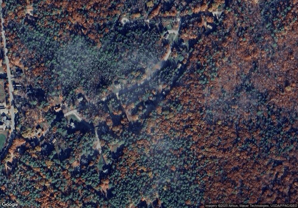
Map
Nearby Homes
- 156 Trotting Track Rd
- 00 Beach Pond Rd Unit 35
- 7 Kenyann Dr
- 290 Pine Hill Rd
- 004 Pine Hill Rd
- 4 Sunny Oaks Terrace
- 1237 Center St
- 41 Fieldstone Rd
- 0 Fieldstone Rd Unit 33
- 172 Center St
- 185 Ambrose Way
- Map 102 L 4 Center St
- 42 College Rd
- 42 Kings Pine Rd
- 222 N Main St
- 17 Waumbeck Rd
- 427 N Main St
- 12 Highland Terrace
- 33 Endicott St Unit 7
- 21 Goodrich Rd
Your Personal Tour Guide
Ask me questions while you tour the home.