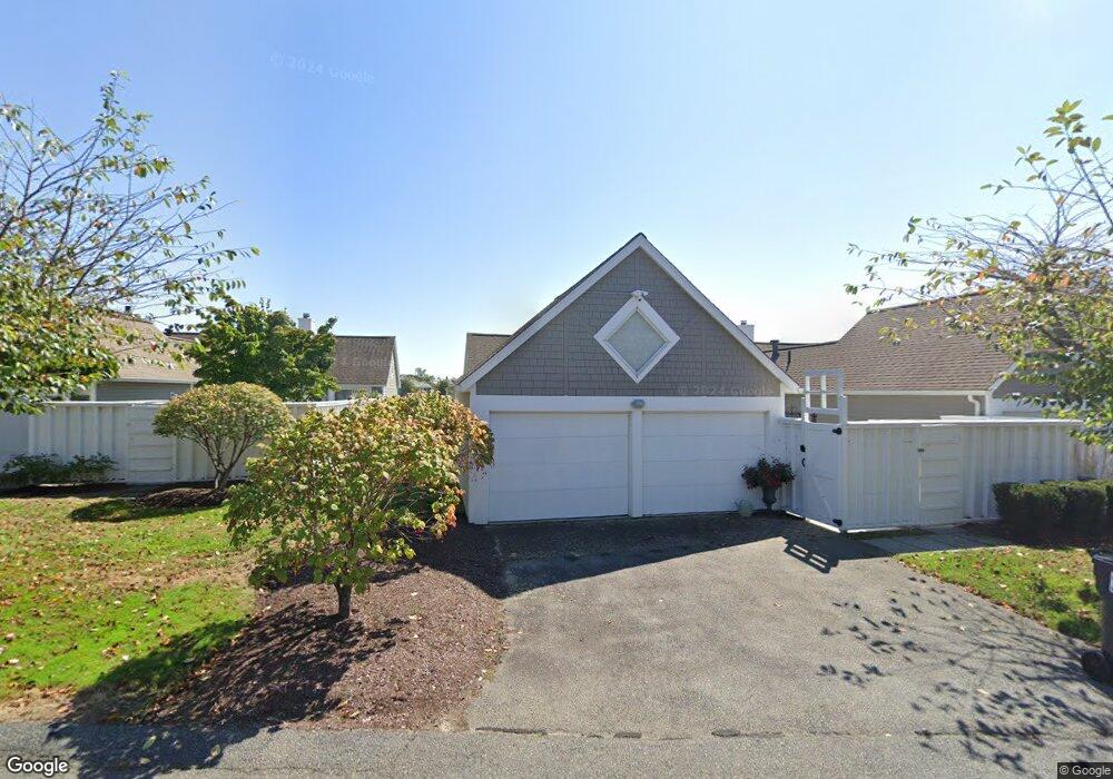
11 Sea View Ln Mashpee, MA 02649
New Seabury-Popponesset Island NeighborhoodEstimated Value: $803,000 - $1,116,085
3
Beds
3
Baths
1,654
Sq Ft
$612/Sq Ft
Est. Value
About This Home
This home is located at 11 Sea View Ln, Mashpee, MA 02649 and is currently estimated at $1,011,695, approximately $611 per square foot. 11 Sea View Ln is a home located in Barnstable County with nearby schools including Kenneth C. Coombs School, Quashnet School, and Mashpee Middle School.
Ownership History
Date
Name
Owned For
Owner Type
Purchase Details
Closed on
Jul 31, 2025
Sold by
Knup Stephen C and Knup Maureen H
Bought by
Knup Ft and Knup
Current Estimated Value
Purchase Details
Closed on
May 27, 1998
Sold by
Daniels Steven R and Daniels Joan
Bought by
Knup Stephen C and Knup Maureen H
Purchase Details
Closed on
Feb 21, 1990
Sold by
Burden Christopher
Bought by
Daniels Steven R
Home Financials for this Owner
Home Financials are based on the most recent Mortgage that was taken out on this home.
Original Mortgage
$120,000
Interest Rate
9.7%
Mortgage Type
Purchase Money Mortgage
Create a Home Valuation Report for This Property
The Home Valuation Report is an in-depth analysis detailing your home's value as well as a comparison with similar homes in the area
Home Values in the Area
Average Home Value in this Area
Purchase History
| Date | Buyer | Sale Price | Title Company |
|---|---|---|---|
| Knup Ft | -- | -- | |
| Knup Stephen C | $380,000 | -- | |
| Knup Stephen C | $380,000 | -- | |
| Daniels Steven R | $320,000 | -- |
Source: Public Records
Mortgage History
| Date | Status | Borrower | Loan Amount |
|---|---|---|---|
| Previous Owner | Daniels Steven R | $120,000 |
Source: Public Records
Tax History Compared to Growth
Tax History
| Year | Tax Paid | Tax Assessment Tax Assessment Total Assessment is a certain percentage of the fair market value that is determined by local assessors to be the total taxable value of land and additions on the property. | Land | Improvement |
|---|---|---|---|---|
| 2025 | $7,058 | $1,066,200 | $0 | $1,066,200 |
| 2024 | $6,209 | $965,600 | $0 | $965,600 |
| 2023 | $6,072 | $866,200 | $0 | $866,200 |
| 2022 | $6,642 | $813,000 | $0 | $813,000 |
| 2021 | $6,219 | $685,700 | $0 | $685,700 |
| 2020 | $6,089 | $669,900 | $0 | $669,900 |
| 2019 | $5,900 | $651,900 | $0 | $651,900 |
| 2018 | $5,652 | $633,600 | $0 | $633,600 |
| 2017 | $5,818 | $633,100 | $0 | $633,100 |
| 2016 | $6,498 | $703,200 | $0 | $703,200 |
| 2015 | $6,503 | $713,800 | $0 | $713,800 |
| 2014 | $6,230 | $663,500 | $0 | $663,500 |
Source: Public Records
Map
Nearby Homes
- 4 Lanyard Way Unit 7242C
- 90 Shore Dr W Unit 16D
- 236 Glenneagle Dr
- 7 Brassie Way
- 51 Fairway Ln
- 89 Troon Way
- 3 Niblick Ln
- 40 Triton Way
- 16 Slice Way
- 59 Mashie Cir
- 28 Quinns Way
- 51 Walton Heath Way
- 25 Milestone Way Unit 25
- 25 Milestone Way
- 72 Walton Heath Way
- 4 Colemans Way Unit 702
- 4 Colemans Way
- 33 Landmark Ave
- 2 Brant Rock Rd Unit 722
- 2 Brant Rock Rd
- 15 Sea View Ln
- 49 Seaview Ln Unit 49
- 45 Seaview Ln Unit 45
- 23 Sea View Ln
- 21 Sea View Ln
- 19 Sea View Ln
- 17 Sea View Ln
- 19 Sea View Ln Unit 8025
- 19 Sea View Ln Unit 19
- 19 Seaview Ln
- 42 Seanest Dr Unit 8022
- 42 Seanest Dr Unit 8012
- 42 Seanest Dr Unit 8004
- 42 Seanest Dr Unit 8009
- 42 Seanest Dr Unit 8007
- 42 Seanest Dr Unit 8002
- 42 Seanest Dr Unit 8026
- 42 Seanest Dr
- 9 Sea View Ln
- 7 Sea View Ln