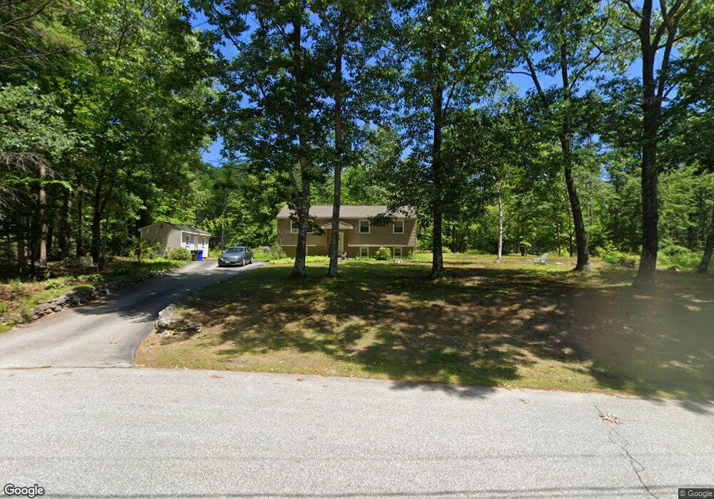
11 Silver Ln Goffstown, NH 03045
Estimated Value: $427,726 - $471,000
3
Beds
1
Bath
948
Sq Ft
$467/Sq Ft
Est. Value
About This Home
This home is located at 11 Silver Ln, Goffstown, NH 03045 and is currently estimated at $442,682, approximately $466 per square foot. 11 Silver Ln is a home with nearby schools including Mountain View Middle School, Goffstown High School, and Namaste Montessori School.
Create a Home Valuation Report for This Property
The Home Valuation Report is an in-depth analysis detailing your home's value as well as a comparison with similar homes in the area
Home Values in the Area
Average Home Value in this Area
Tax History Compared to Growth
Tax History
| Year | Tax Paid | Tax Assessment Tax Assessment Total Assessment is a certain percentage of the fair market value that is determined by local assessors to be the total taxable value of land and additions on the property. | Land | Improvement |
|---|---|---|---|---|
| 2024 | $7,082 | $346,500 | $168,000 | $178,500 |
| 2023 | $6,535 | $346,500 | $168,000 | $178,500 |
| 2022 | $6,046 | $229,800 | $111,300 | $118,500 |
| 2021 | $5,629 | $226,800 | $111,300 | $115,500 |
| 2020 | $5,629 | $226,800 | $111,300 | $115,500 |
| 2019 | $5,575 | $226,800 | $111,300 | $115,500 |
| 2018 | $4,218 | $226,800 | $111,300 | $115,500 |
| 2017 | $5,457 | $199,000 | $91,700 | $107,300 |
| 2016 | $5,260 | $199,000 | $91,700 | $107,300 |
| 2015 | $5,162 | $183,300 | $85,600 | $97,700 |
| 2014 | $4,949 | $183,300 | $85,600 | $97,700 |
Source: Public Records
Map
Nearby Homes
- 76 Donald Dr
- 243 Donald Dr
- 0 Mast Rd Unit 49 5054665
- 16 Roger Rd
- 4 Arabian Ct Unit B
- 5 Mustang Ct
- 53 Rachael Cir
- 3D Dearborn Cir
- 3A Dearborn Cir
- 3B Dearborn Cir
- 4B Dearborn Cir
- 11-1 Chatel Rd
- 4 Chip St
- 11 Timberwood Dr Unit 206
- 12 Maplewood Ave
- 2 Larch St Unit 1
- 46 Moose Club Park Rd
- 22 Peppermint St
- 1 Oakwood Ln Unit 2
- 2 Shore Dr