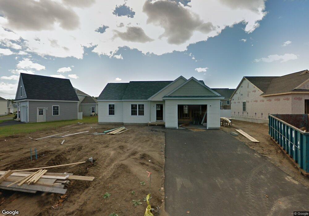
11 Stephanie Dr Unit 42 Gorham, ME 04038
Estimated Value: $439,000 - $444,000
3
Beds
2
Baths
1,167
Sq Ft
$379/Sq Ft
Est. Value
About This Home
This home is located at 11 Stephanie Dr Unit 42, Gorham, ME 04038 and is currently estimated at $442,346, approximately $379 per square foot. 11 Stephanie Dr Unit 42 is a home located in Cumberland County with nearby schools including Narragansett Elementary School, Gorham Middle School, and Gorham High School.
Ownership History
Date
Name
Owned For
Owner Type
Purchase Details
Closed on
Mar 29, 2016
Sold by
Susan Duchaine Llc
Bought by
Fullerton Harry R and Fullerton Suzanne V
Current Estimated Value
Home Financials for this Owner
Home Financials are based on the most recent Mortgage that was taken out on this home.
Original Mortgage
$220,875
Outstanding Balance
$175,299
Interest Rate
3.65%
Mortgage Type
New Conventional
Estimated Equity
$267,047
Create a Home Valuation Report for This Property
The Home Valuation Report is an in-depth analysis detailing your home's value as well as a comparison with similar homes in the area
Home Values in the Area
Average Home Value in this Area
Purchase History
| Date | Buyer | Sale Price | Title Company |
|---|---|---|---|
| Fullerton Harry R | -- | -- |
Source: Public Records
Mortgage History
| Date | Status | Borrower | Loan Amount |
|---|---|---|---|
| Open | Fullerton Harry R | $220,875 |
Source: Public Records
Tax History Compared to Growth
Tax History
| Year | Tax Paid | Tax Assessment Tax Assessment Total Assessment is a certain percentage of the fair market value that is determined by local assessors to be the total taxable value of land and additions on the property. | Land | Improvement |
|---|---|---|---|---|
| 2024 | $5,042 | $343,000 | $32,700 | $310,300 |
| 2023 | $4,716 | $343,000 | $32,700 | $310,300 |
| 2022 | $4,408 | $343,000 | $32,700 | $310,300 |
| 2021 | $3,878 | $199,900 | $113,600 | $86,300 |
| 2020 | $3,766 | $198,200 | $113,600 | $84,600 |
| 2019 | $3,756 | $198,200 | $113,600 | $84,600 |
| 2018 | $3,607 | $198,200 | $113,600 | $84,600 |
| 2017 | $3,389 | $198,200 | $113,600 | $84,600 |
| 2016 | $3,371 | $198,300 | $113,700 | $84,600 |
| 2015 | $1,454 | $89,200 | $85,300 | $3,900 |
| 2014 | $188 | $10,800 | $10,800 | $0 |
| 2013 | $187 | $10,800 | $10,800 | $0 |
Source: Public Records
Map
Nearby Homes
- 33 Tink Dr
- 40 Tink Dr
- TBD Lochwood Dr
- 84 Johnson Rd
- 49 Lochwood Dr
- 14 Joseph Dr
- 53 Lochwood Dr
- 8 Stephen Ward Dr Unit 14
- 23 Cottage Ct
- 23 Cottage Ct Unit 6
- 40 Highland Ave
- 34 Baxter Ln Unit 10
- 8 College Ave
- 117 School St
- 9 Ridgeway Ave
- 197 New Portland Rd
- 69 State St
- 151 South St
- 127 Falcon Crest Dr Unit 4
- 195 Falcon Crest Dr Unit 34
- 9 Stephanie Dr Unit 43
- 9 Stephanie Dr
- 15 Stephanie Dr
- 15 Stephanie Dr Unit 41
- 26 Tink Dr Unit 39
- 26 Tink Dr Unit 26
- 24 Tink Dr Unit 38
- 14 Stephanie Dr Unit 7
- 14 Stephanie Dr
- 5 Stephanie Dr
- 5 Stephanie Dr Unit 44
- 12 Stephanie Dr
- 12 Stephanie Dr Unit 6
- 20 Stephanie Dr Unit 8
- 10 Stephanie Dr Unit 5
- 16 Tink Dr Unit 36
- 16 Tink Dr Unit 38
- 22 Stephanie Dr Unit 9
- 25 Tink Dr Unit 28
- 25 Tink Dr Unit 25