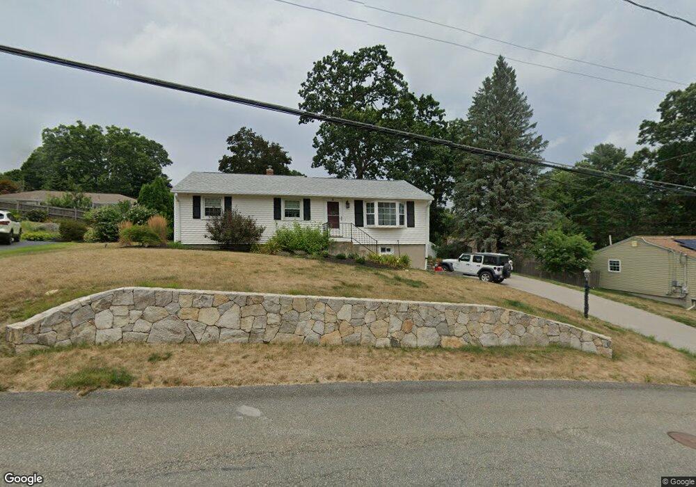
11 Stoney Brook Ln Milford, MA 01757
Estimated Value: $502,000 - $603,000
3
Beds
2
Baths
1,838
Sq Ft
$300/Sq Ft
Est. Value
About This Home
This home is located at 11 Stoney Brook Ln, Milford, MA 01757 and is currently estimated at $550,750, approximately $299 per square foot. 11 Stoney Brook Ln is a home located in Worcester County with nearby schools including Milford High School.
Ownership History
Date
Name
Owned For
Owner Type
Purchase Details
Closed on
May 11, 2023
Sold by
Allen Ft
Bought by
Allen Linda D
Current Estimated Value
Home Financials for this Owner
Home Financials are based on the most recent Mortgage that was taken out on this home.
Original Mortgage
$300,000
Outstanding Balance
$291,490
Interest Rate
6.28%
Mortgage Type
Purchase Money Mortgage
Estimated Equity
$259,260
Purchase Details
Closed on
Feb 10, 2015
Sold by
Allen Andrew J and Allen Evelyn P
Bought by
Allen Ft and Allen Michael A
Purchase Details
Closed on
May 21, 1973
Bought by
Allen Ft
Create a Home Valuation Report for This Property
The Home Valuation Report is an in-depth analysis detailing your home's value as well as a comparison with similar homes in the area
Home Values in the Area
Average Home Value in this Area
Purchase History
| Date | Buyer | Sale Price | Title Company |
|---|---|---|---|
| Allen Linda D | $300,000 | None Available | |
| Allen Ft | -- | -- | |
| Allen Ft | $29,900 | -- |
Source: Public Records
Mortgage History
| Date | Status | Borrower | Loan Amount |
|---|---|---|---|
| Open | Allen Linda D | $300,000 | |
| Previous Owner | Allen Ft | $50,000 |
Source: Public Records
Tax History Compared to Growth
Tax History
| Year | Tax Paid | Tax Assessment Tax Assessment Total Assessment is a certain percentage of the fair market value that is determined by local assessors to be the total taxable value of land and additions on the property. | Land | Improvement |
|---|---|---|---|---|
| 2025 | $5,797 | $452,900 | $181,200 | $271,700 |
| 2024 | $5,518 | $415,200 | $174,000 | $241,200 |
| 2023 | $5,323 | $368,400 | $150,400 | $218,000 |
| 2022 | $5,080 | $330,100 | $137,700 | $192,400 |
| 2021 | $4,891 | $306,100 | $137,700 | $168,400 |
| 2020 | $4,616 | $289,200 | $137,700 | $151,500 |
| 2019 | $4,461 | $269,700 | $137,700 | $132,000 |
| 2018 | $4,269 | $257,800 | $134,100 | $123,700 |
| 2017 | $3,999 | $238,200 | $134,100 | $104,100 |
| 2016 | $4,024 | $234,200 | $134,100 | $100,100 |
| 2015 | $3,994 | $227,600 | $126,900 | $100,700 |
Source: Public Records
Map
Nearby Homes
- 13 Hemlock Ln
- 9 Robin Rd
- 44 Silver Hill Rd
- 4 Kennedy Ln Unit 49
- 21 Shadowbrook Ln Unit 13
- 10 Shadowbrook Ln Unit 24
- 4 Shadowbrook Ln Unit 31
- 8 Shadowbrook Ln Unit 39
- 1 Tyler St
- 18 Shadowbrook Ln Unit 40
- 19 Shadowbrook Ln Unit 13
- 54 Village Cir Unit 54
- 11 Shadowbrook Ln Unit 9
- 9 Shadowbrook Ln Unit 27
- 3 Shadowbrook Ln Unit 3
- 5 Shadowbrook Ln Unit 32
- 8 Colonial Rd
- 56 Village Cir
- 104 Purchase St
- 250 Congress St
- 9 Stoney Brook Ln
- 13 Stoney Brook Ln
- 8 Oriole Dr
- 6 Oriole Dr
- 10 Oriole Dr
- 14 Stoney Brook Ln
- 12 Stoney Brook Ln
- 7 Stoney Brook Ln
- 16 Stoney Brook Ln
- 15 Stoney Brook Ln
- 4 Oriole Dr
- 12 Oriole Dr
- 10 Stoney Brook Ln
- 7 Oriole Dr
- 5 Oriole Dr
- 9 Oriole Dr
- 18 Stoney Brook Ln
- 5 Stoney Brook Ln
- 2 Oriole Dr
- 3 Oriole Dr