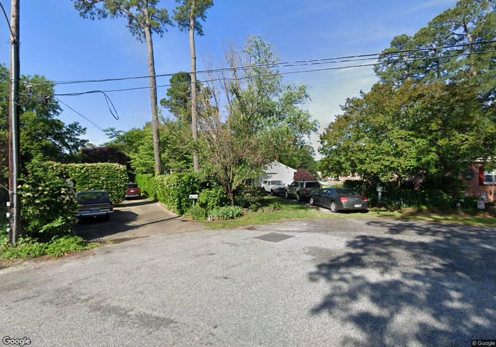
11 Tomahawk Rd Hampton, VA 23669
Willow Oaks NeighborhoodEstimated Value: $376,000 - $482,790
3
Beds
3
Baths
2,185
Sq Ft
$195/Sq Ft
Est. Value
About This Home
This home is located at 11 Tomahawk Rd, Hampton, VA 23669 and is currently estimated at $426,698, approximately $195 per square foot. 11 Tomahawk Rd is a home located in Hampton City with nearby schools including Barron Elementary School, Albert W. Patrick III Elementary School, and Benjamin Syms Middle School.
Ownership History
Date
Name
Owned For
Owner Type
Purchase Details
Closed on
Oct 27, 2004
Sold by
Pane John
Bought by
Devries Edward
Current Estimated Value
Home Financials for this Owner
Home Financials are based on the most recent Mortgage that was taken out on this home.
Original Mortgage
$260,000
Outstanding Balance
$129,403
Interest Rate
5.74%
Mortgage Type
New Conventional
Estimated Equity
$297,295
Purchase Details
Closed on
May 29, 2001
Sold by
Doane Margaret K
Bought by
Pane John W
Home Financials for this Owner
Home Financials are based on the most recent Mortgage that was taken out on this home.
Original Mortgage
$140,000
Interest Rate
7.09%
Create a Home Valuation Report for This Property
The Home Valuation Report is an in-depth analysis detailing your home's value as well as a comparison with similar homes in the area
Home Values in the Area
Average Home Value in this Area
Purchase History
| Date | Buyer | Sale Price | Title Company |
|---|---|---|---|
| Devries Edward | $325,000 | -- | |
| Pane John W | $175,000 | -- |
Source: Public Records
Mortgage History
| Date | Status | Borrower | Loan Amount |
|---|---|---|---|
| Open | Devries Edward | $260,000 | |
| Previous Owner | Pane John W | $140,000 |
Source: Public Records
Tax History
| Year | Tax Paid | Tax Assessment Tax Assessment Total Assessment is a certain percentage of the fair market value that is determined by local assessors to be the total taxable value of land and additions on the property. | Land | Improvement |
|---|---|---|---|---|
| 2025 | $5,683 | $503,400 | $177,400 | $326,000 |
| 2024 | $5,331 | $463,600 | $177,400 | $286,200 |
| 2023 | $5,252 | $452,800 | $177,400 | $275,400 |
| 2022 | $4,720 | $400,000 | $166,600 | $233,400 |
| 2021 | $4,707 | $369,100 | $166,600 | $202,500 |
| 2020 | $4,333 | $349,400 | $166,600 | $182,800 |
| 2019 | $4,311 | $347,700 | $166,600 | $181,100 |
| 2018 | $4,466 | $366,300 | $185,300 | $181,000 |
| 2017 | $4,636 | $0 | $0 | $0 |
| 2016 | $4,636 | $366,300 | $0 | $0 |
| 2015 | $4,636 | $0 | $0 | $0 |
| 2014 | $4,626 | $366,300 | $185,300 | $181,000 |
Source: Public Records
Map
Nearby Homes
- 246 Dockside Dr Unit C
- 20 Pine Cone Dr
- 240 Dockside Dr Unit C
- 10 Eberly Terrace
- 212 Dockside Dr Unit C
- 221 Island Cove Ct Unit C
- 10 Westley Ct
- 40 Crestwood Cir
- 22 Lucas Dr
- 138 Eberly Terrace
- 24 Saint Albans Dr
- 8 N Gawain Way
- 38 Saint Albans Dr
- 28 N Gawain Way
- 54 Mohawk Rd
- 439 Cooper St
- 720 River St
- 433 Cooper St
- 8 Saxony Place
- 311 Cooper St
Your Personal Tour Guide
Ask me questions while you tour the home.