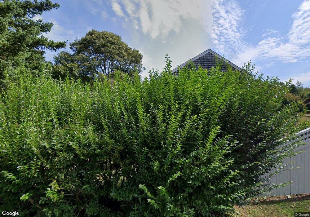
11 Tubman Rd Brewster, MA 02631
Estimated Value: $831,000 - $1,108,000
3
Beds
2
Baths
1,740
Sq Ft
$553/Sq Ft
Est. Value
About This Home
This home is located at 11 Tubman Rd, Brewster, MA 02631 and is currently estimated at $961,644, approximately $552 per square foot. 11 Tubman Rd is a home located in Barnstable County with nearby schools including Stony Brook Elementary School, Eddy Elementary School, and Nauset Regional Middle School.
Ownership History
Date
Name
Owned For
Owner Type
Purchase Details
Closed on
Jan 28, 2011
Sold by
Phillips Sara A
Bought by
Sara A Phillips Rt and Philips Sara A
Current Estimated Value
Purchase Details
Closed on
Jul 16, 2010
Sold by
Bell George M and Phillips Sara A
Bought by
Phillips Sara A
Purchase Details
Closed on
Jun 1, 1978
Bought by
Sara A Phillips Ret
Create a Home Valuation Report for This Property
The Home Valuation Report is an in-depth analysis detailing your home's value as well as a comparison with similar homes in the area
Home Values in the Area
Average Home Value in this Area
Purchase History
| Date | Buyer | Sale Price | Title Company |
|---|---|---|---|
| Sara A Phillips Rt | -- | -- | |
| Phillips Sara A | -- | -- | |
| Sara A Phillips Ret | $34,500 | -- |
Source: Public Records
Mortgage History
| Date | Status | Borrower | Loan Amount |
|---|---|---|---|
| Previous Owner | Sara A Phillips Ret | $76,000 | |
| Previous Owner | Sara A Phillips Ret | $65,000 |
Source: Public Records
Tax History Compared to Growth
Tax History
| Year | Tax Paid | Tax Assessment Tax Assessment Total Assessment is a certain percentage of the fair market value that is determined by local assessors to be the total taxable value of land and additions on the property. | Land | Improvement |
|---|---|---|---|---|
| 2025 | $4,982 | $724,200 | $319,500 | $404,700 |
| 2024 | $4,666 | $685,100 | $301,400 | $383,700 |
| 2023 | $4,317 | $617,600 | $269,100 | $348,500 |
| 2022 | $4,061 | $517,300 | $224,200 | $293,100 |
| 2021 | $3,906 | $455,300 | $194,900 | $260,400 |
| 2020 | $3,813 | $442,400 | $194,900 | $247,500 |
| 2019 | $0 | $429,300 | $187,400 | $241,900 |
| 2018 | $3,376 | $408,700 | $187,400 | $221,300 |
| 2017 | $3,656 | $392,600 | $187,400 | $205,200 |
| 2016 | $3,248 | $385,300 | $183,800 | $201,500 |
| 2015 | $3,133 | $379,300 | $180,100 | $199,200 |
Source: Public Records
Map
Nearby Homes
- 1424 Main St
- 53 Brier Ln
- 1580 Main St
- 21 Sea Meadow Ln
- 20 Spring Ln
- 41 Great Oak Rd
- 9 Park Ln
- 167 Ambergris Cir
- 602 Tubman Rd
- 429 Paines Creek Rd
- 70 Run Hill Rd
- 232 Robbins Hill Rd
- 240 Robbins Hill Rd
- 1861 Main St
- 30 Fox Crossing Rd
- 597 Great Fields Rd
- 11 Juniper Cir
- 18 Juniper Cir
- 0 Ridgewood Dr
- 728 Great Fields Rd