11 W Cofield St Unit 1303297 Aurora, MO 65605
Estimated Value: $70,000 - $228,000
2
Beds
1
Bath
1,172
Sq Ft
$110/Sq Ft
Est. Value
About This Home
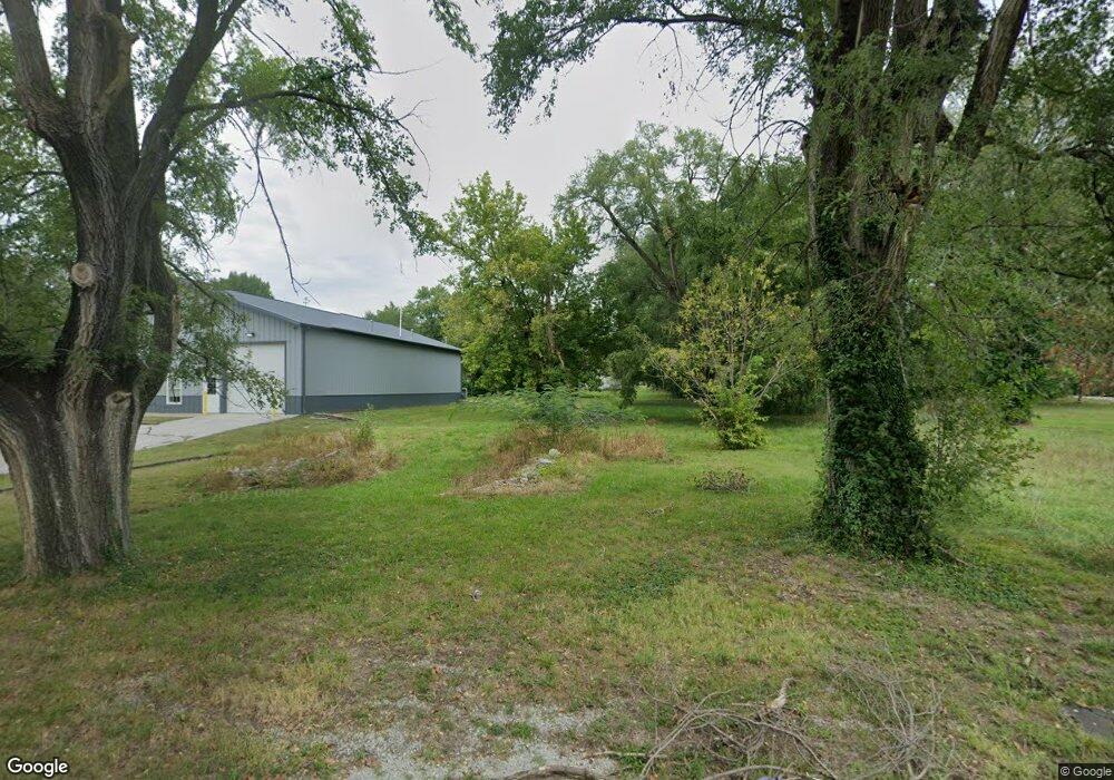
This home is located at 11 W Cofield St Unit 1303297, Aurora, MO 65605 and is currently estimated at $129,403, approximately $110 per square foot. 11 W Cofield St Unit 1303297 is a home located in Lawrence County with nearby schools including Pate Early Childhood Center, Robinson Intermediate School, and Robinson Elementary School.
Ownership History
Date
Name
Owned For
Owner Type
Purchase Details
Closed on
Jun 10, 2019
Sold by
Witt Robert
Bought by
Mcmichael David and Mcmichael Sharon
Current Estimated Value
Purchase Details
Closed on
May 10, 2019
Sold by
Kennedy Kathy Nell and Donald M Powell Revocable Trus
Bought by
Berg Loren Van Den
Purchase Details
Closed on
Jan 12, 2018
Sold by
Den Berg Loren E Van
Bought by
Witt Robert
Purchase Details
Closed on
Jul 1, 2017
Sold by
Berg Cylere Van Den
Bought by
Berg Loren E Van Den
Purchase Details
Closed on
Dec 16, 2013
Sold by
Vanden Berg Deborah J
Bought by
Vanden Berg Loren E
Purchase Details
Closed on
Nov 29, 2010
Sold by
Donald M Powell Revocable Trust
Bought by
Vandenberg Loren and Vandenberg Debbie
Create a Home Valuation Report for This Property
The Home Valuation Report is an in-depth analysis detailing your home's value as well as a comparison with similar homes in the area
Home Values in the Area
Average Home Value in this Area
Purchase History
| Date | Buyer | Sale Price | Title Company |
|---|---|---|---|
| Mcmichael David | -- | Waco Title Company | |
| Berg Loren Van Den | -- | Waco Title Company | |
| Witt Robert | -- | None Available | |
| Berg Loren E Van Den | -- | None Available | |
| Vanden Berg Loren E | -- | None Available | |
| Vandenberg Loren | -- | -- | |
| Vandenberg Loren | -- | -- | |
| Vanden Berg Koren | -- | None Available | |
| Vanden Berg Loren | -- | None Available |
Source: Public Records
Tax History Compared to Growth
Tax History
| Year | Tax Paid | Tax Assessment Tax Assessment Total Assessment is a certain percentage of the fair market value that is determined by local assessors to be the total taxable value of land and additions on the property. | Land | Improvement |
|---|---|---|---|---|
| 2025 | $50 | $990 | $990 | $0 |
| 2024 | $50 | $990 | $990 | $0 |
| 2023 | $50 | $990 | $990 | $0 |
| 2022 | $87 | $1,730 | $990 | $740 |
| 2021 | $87 | $1,730 | $990 | $740 |
| 2020 | $68 | $1,350 | $610 | $740 |
| 2019 | $67 | $1,350 | $610 | $740 |
| 2018 | $67 | $1,350 | $610 | $740 |
| 2017 | $178 | $3,590 | $610 | $2,980 |
| 2016 | -- | $3,310 | $610 | $2,700 |
| 2015 | -- | $3,310 | $610 | $2,700 |
| 2014 | -- | $3,310 | $610 | $2,700 |
Source: Public Records
Map
Nearby Homes
- 15 E Cofield St
- 111 W Cofield St
- 503 Mcnatt Ave
- 225 Morgan Ave
- 112 N Madison Ave
- 304 E Cofield St
- 238 E Delta St
- 000 Crescent St
- 216 S Elliott Ave
- 141 W Pleasant St
- 220 S Park Ave
- 311 W Pleasant St
- 114 E College St
- 30 W College St
- 109 W Cline St
- 312 S Oak Ave
- Lot 2 Summit Grove Estates
- 406 W Cline St
- 303 N Hudson Ave
- 328 W Summit St
- 11 W Cofield St
- 9 W Cofield St
- 17 Cofield St
- 5 Cofield St
- 12 W Cofield St
- 315 Mc Natt Ave
- 315 Mcnatt Ave
- 227 Mcnatt Ave
- 20 Cofield St
- 10 W Cofield St
- 18 W Cofield St
- 317 Mc Natt Ave
- 317 Mc Natt Ave Unit 1303255
- 10 W Tyndal St
- 22 W Tyndal St
- 325 Mcnatt Ave
- 0 Mcnatt Ave Unit 11400539
- 0 Mcnatt Ave Unit 60017614
- 0 Mcnatt Ave Unit 60119359
- 0 Mcnatt Ave Unit 60182782