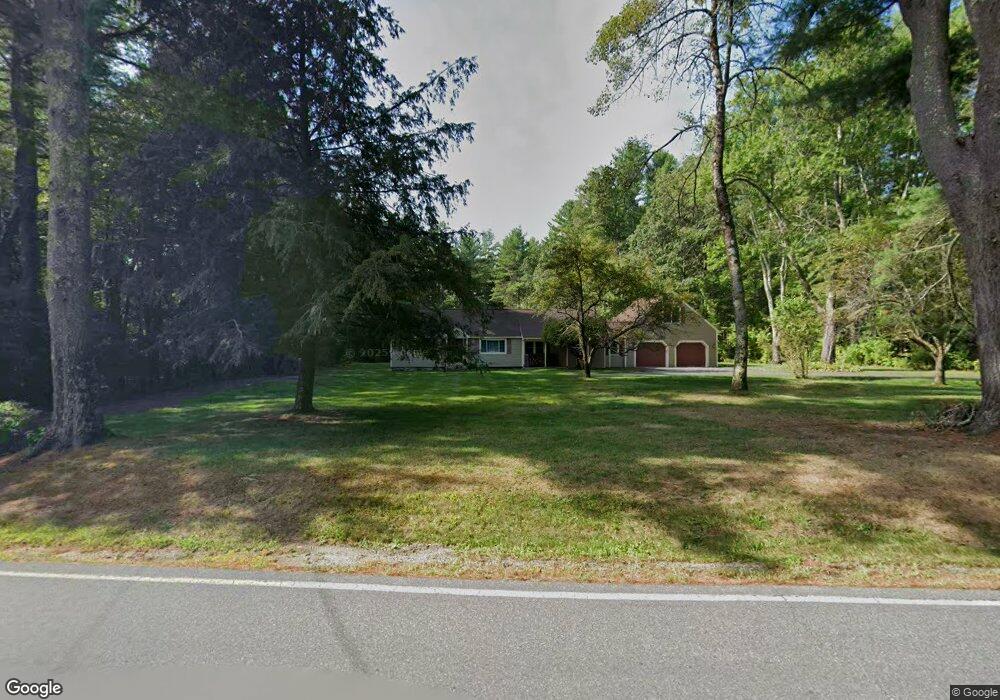
11 W Hollis Rd Hollis, NH 03049
Hollis NeighborhoodEstimated Value: $590,954 - $957,000
5
Beds
1
Bath
1,884
Sq Ft
$398/Sq Ft
Est. Value
About This Home
This home is located at 11 W Hollis Rd, Hollis, NH 03049 and is currently estimated at $749,989, approximately $398 per square foot. 11 W Hollis Rd is a home located in Hillsborough County with nearby schools including Hollis Primary School, Hollis Upper Elementary School, and Hollis-Brookline Middle School.
Ownership History
Date
Name
Owned For
Owner Type
Purchase Details
Closed on
Jan 30, 2014
Sold by
Mezzocchi Rosemary T
Bought by
Covino Mezzcchi Ft
Current Estimated Value
Purchase Details
Closed on
Jul 2, 1981
Bought by
Covino Mezzcchi Ft
Create a Home Valuation Report for This Property
The Home Valuation Report is an in-depth analysis detailing your home's value as well as a comparison with similar homes in the area
Home Values in the Area
Average Home Value in this Area
Purchase History
| Date | Buyer | Sale Price | Title Company |
|---|---|---|---|
| Covino Mezzcchi Ft | -- | -- | |
| Covino Mezzcchi Ft | -- | -- |
Source: Public Records
Mortgage History
| Date | Status | Borrower | Loan Amount |
|---|---|---|---|
| Previous Owner | Covino Mezzcchi Ft | $207,000 | |
| Previous Owner | Covino Mezzcchi Ft | $220,000 | |
| Previous Owner | Covino Mezzcchi Ft | $178,000 |
Source: Public Records
Tax History Compared to Growth
Tax History
| Year | Tax Paid | Tax Assessment Tax Assessment Total Assessment is a certain percentage of the fair market value that is determined by local assessors to be the total taxable value of land and additions on the property. | Land | Improvement |
|---|---|---|---|---|
| 2024 | $9,443 | $532,600 | $253,500 | $279,100 |
| 2023 | $8,873 | $532,600 | $253,500 | $279,100 |
| 2022 | $12,021 | $532,600 | $253,500 | $279,100 |
| 2021 | $7,464 | $328,800 | $166,300 | $162,500 |
| 2020 | $7,622 | $328,800 | $166,300 | $162,500 |
| 2019 | $7,595 | $328,800 | $166,300 | $162,500 |
| 2018 | $7,370 | $340,100 | $166,300 | $173,800 |
| 2017 | $7,024 | $303,400 | $146,300 | $157,100 |
| 2016 | $7,109 | $303,400 | $146,300 | $157,100 |
| 2015 | $6,984 | $303,400 | $146,300 | $157,100 |
| 2014 | $7,018 | $303,400 | $146,300 | $157,100 |
| 2013 | $6,924 | $303,400 | $146,300 | $157,100 |
Source: Public Records
Map
Nearby Homes
- 6 Flint Meadow Dr
- 84 Irene Dr
- 47 Pepperell Rd
- 46 Oak Hill Rd
- 55 Oak Hill Rd
- 143 Worcester Rd
- 6 High Oaks Path
- 179 Brookline St
- 22 Austin Ln
- 23 Austin Ln
- 22 Hobart Hill Rd
- 21 Cranberry St
- 28A Rocky Pond Rd
- 6 Laurelcrest Dr
- 91 Deacon Ln
- 5 Carons Way
- 13 Oak Hill St
- 2 Old Farm Ln
- 364 Townsend Hill Rd
- 18 Maple St Unit 30
- 6 W Hollis Rd
- 3 W Hollis Rd
- 15 W Hollis Rd
- 11 Blacksmith Ln
- 12 Blacksmith (Lot 12)
- 4 Blacksmith Ln
- 3 Blacksmith Ln
- 79 Pepperell Rd
- 4 W Hollis Rd
- 13 W Hollis Rd
- 2 W Hollis Rd
- 20 W Hollis Rd
- 77 Pepperell Rd
- 4 Sawmill Rd
- 4 Sawmill Rd
- 86 Pepperell Rd
- 75 Pepperell Rd
- 2 Sawmill Rd
- 73 Pepperell Rd
- 5 Sawmill Rd