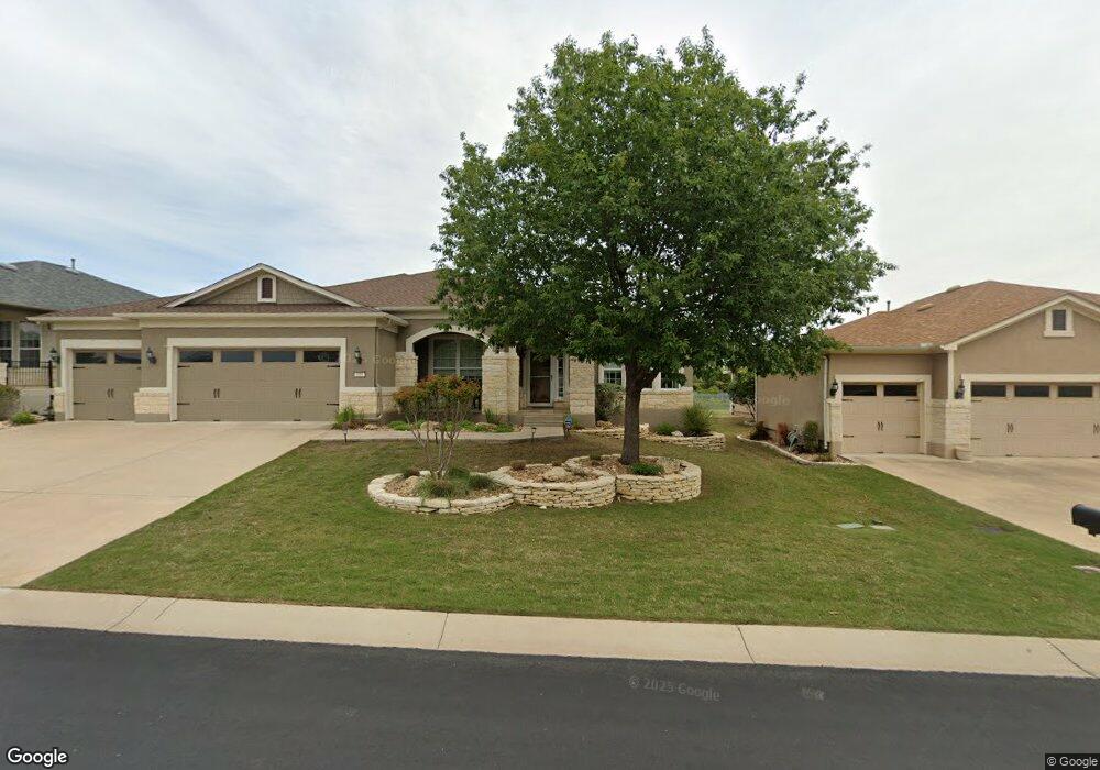
110 Apache Mountain Ln Georgetown, TX 78633
Sun City NeighborhoodEstimated Value: $595,000 - $611,144
Studio
4
Baths
2,581
Sq Ft
$233/Sq Ft
Est. Value
About This Home
This home is located at 110 Apache Mountain Ln, Georgetown, TX 78633 and is currently estimated at $601,286, approximately $232 per square foot. 110 Apache Mountain Ln is a home located in Williamson County.
Ownership History
Date
Name
Owned For
Owner Type
Purchase Details
Closed on
May 10, 2010
Sold by
Del Webb Texas Limited Partnership
Bought by
Brookner Marshall H and Brookner Audrey J
Current Estimated Value
Home Financials for this Owner
Home Financials are based on the most recent Mortgage that was taken out on this home.
Original Mortgage
$260,401
Outstanding Balance
$174,108
Interest Rate
5%
Mortgage Type
New Conventional
Estimated Equity
$427,178
Create a Home Valuation Report for This Property
The Home Valuation Report is an in-depth analysis detailing your home's value as well as a comparison with similar homes in the area
Home Values in the Area
Average Home Value in this Area
Purchase History
| Date | Buyer | Sale Price | Title Company |
|---|---|---|---|
| Brookner Marshall H | -- | None Available |
Source: Public Records
Mortgage History
| Date | Status | Borrower | Loan Amount |
|---|---|---|---|
| Open | Brookner Marshall H | $260,401 |
Source: Public Records
Tax History
| Year | Tax Paid | Tax Assessment Tax Assessment Total Assessment is a certain percentage of the fair market value that is determined by local assessors to be the total taxable value of land and additions on the property. | Land | Improvement |
|---|---|---|---|---|
| 2025 | $3,496 | $657,699 | -- | -- |
| 2024 | $3,496 | $597,908 | $104,500 | $493,408 |
| 2023 | $3,508 | $613,069 | $0 | $0 |
| 2022 | $10,942 | $557,335 | $0 | $0 |
| 2021 | $10,973 | $502,462 | $88,000 | $434,244 |
| 2020 | $10,130 | $456,784 | $83,820 | $372,964 |
| 2019 | $10,691 | $467,274 | $83,460 | $383,814 |
| 2018 | $6,002 | $471,231 | $83,460 | $387,771 |
| 2017 | $10,543 | $456,514 | $78,000 | $378,514 |
| 2016 | $10,586 | $458,377 | $76,000 | $382,377 |
| 2015 | $6,142 | $429,031 | $76,000 | $361,708 |
| 2014 | $6,142 | $390,028 | $0 | $0 |
Source: Public Records
Map
Nearby Homes
- 214 Apache Mountain Ln
- 110 Emory Peak Trail
- 302 Pipe Creek Ln
- 304 Pipe Creek Ln
- 107 Garner Cove
- 310 Pipe Creek Ln
- 203 Independence Creek Ln
- 213 Fieldstone Dr
- 136 Prairie Creek Trail
- 124 Huntsville Cove
- 122 Lost Peak Path
- 416 Palmetto Dr
- 512 Armstrong Dr
- 103 Lake Sommerville Trail
- 915 Apache Mountain Ln
- 209 Summit St
- 111 McKittrick Ridge Rd
- 103 Rock Canon Ln
- 205 McKittrick Ridge Rd
- 300 Cooper Lake Dr
- 112 Apache Mountain Ln
- 108 Apache Mountain Ln
- 106 Apache Mountain Ln
- 202 Apache Mountain Ln
- 414 Capote Peak Dr
- 411 Capote Peak Dr
- 104 Apache Mountain Ln
- 204 Apache Mountain Ln
- 105 Apache Mountain Ln
- 409 Capote Peak Dr
- 412 Capote Peak Dr
- 206 Apache Mountain Ln
- 102 Apache Mountain Ln
- 101 Apache Mountain Ln
- 410 Capote Peak Dr
- 407 Capote Peak Dr
- 208 Apache Mountain Ln
- 207 Apache Mountain Ln
- 406 Capote Peak Dr
- 405 Capote Peak Dr
Your Personal Tour Guide
Ask me questions while you tour the home.