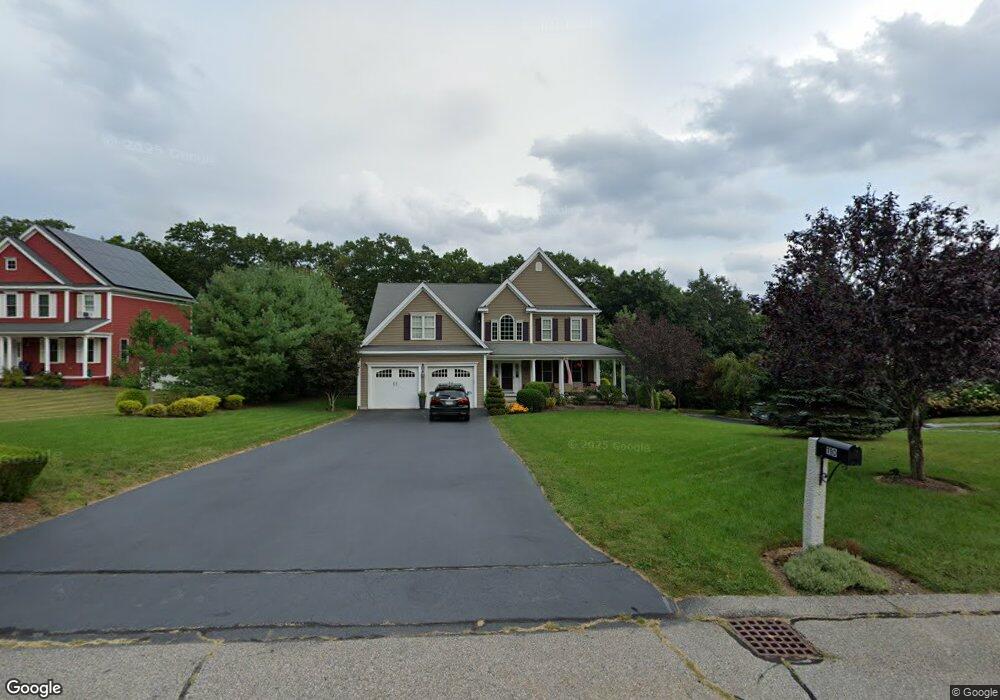
110 Brandywine Rd Franklin, MA 02038
Estimated Value: $945,000 - $1,069,000
4
Beds
3
Baths
2,520
Sq Ft
$398/Sq Ft
Est. Value
About This Home
This home is located at 110 Brandywine Rd, Franklin, MA 02038 and is currently estimated at $1,001,985, approximately $397 per square foot. 110 Brandywine Rd is a home located in Norfolk County with nearby schools including Helen Keller Elementary School, Annie Sullivan Middle School, and Franklin High School.
Ownership History
Date
Name
Owned For
Owner Type
Purchase Details
Closed on
Nov 18, 2025
Sold by
Palmer Todd M and Palmer Susan
Bought by
Susan Christine Palmer Lt and Palmer
Current Estimated Value
Purchase Details
Closed on
May 18, 2007
Sold by
Marinella Dev Llc
Bought by
Palmer Todd and Palmer Susan
Create a Home Valuation Report for This Property
The Home Valuation Report is an in-depth analysis detailing your home's value as well as a comparison with similar homes in the area
Purchase History
| Date | Buyer | Sale Price | Title Company |
|---|---|---|---|
| Susan Christine Palmer Lt | -- | -- | |
| Palmer Todd | $569,900 | -- |
Source: Public Records
Tax History
| Year | Tax Paid | Tax Assessment Tax Assessment Total Assessment is a certain percentage of the fair market value that is determined by local assessors to be the total taxable value of land and additions on the property. | Land | Improvement |
|---|---|---|---|---|
| 2025 | $10,216 | $879,200 | $358,000 | $521,200 |
| 2024 | $10,470 | $888,000 | $358,000 | $530,000 |
| 2023 | $9,704 | $771,400 | $342,100 | $429,300 |
| 2022 | $9,055 | $644,500 | $265,200 | $379,300 |
| 2021 | $9,662 | $659,500 | $256,000 | $403,500 |
| 2020 | $9,326 | $642,700 | $258,600 | $384,100 |
| 2019 | $9,119 | $622,000 | $237,900 | $384,100 |
| 2018 | $8,731 | $596,000 | $250,800 | $345,200 |
| 2017 | $8,803 | $603,800 | $258,600 | $345,200 |
| 2016 | $8,393 | $578,800 | $238,100 | $340,700 |
| 2015 | $8,251 | $556,000 | $215,300 | $340,700 |
| 2014 | $7,894 | $546,300 | $207,100 | $339,200 |
Source: Public Records
Map
Nearby Homes
- 72 Skyline Dr
- 10 Populatic Street Extension
- 100 Daniels St
- 99 Leland Rd
- 254 Daniels St
- 83 Oliver Pond Cir Unit 7
- 24 Shayne Rd Unit 110
- 91 Oliver Pond Cir Unit 3
- 40 Lakeshore Dr
- 839 Lincoln St
- 29 Elm St
- 14 Sanford St Unit 47
- 12 Ariana Ln
- 10 Barber St
- 20 Broad St Unit 1
- 20 Broad St Unit 6
- 20 Broad St Unit A
- 20 Broad St Unit 4
- 48 Dover Cir
- 1 Granite Dr
- 114 Brandywine Rd
- 106 Brandywine Rd
- 100 Brandywine Rd
- 118 Brandywine Rd
- 109 Brandywine Rd
- 36 Brandywine Rd
- 113 Brandywine Rd
- 32 Brandywine Rd
- 96 Brandywine Rd
- 122 Brandywine Rd
- 105 Brandywine Rd
- 40 Brandywine Rd
- 28 Brandywine Rd
- 117 Brandywine Rd
- 101 Brandywine Rd
- 30 Brandywine Rd
- 44 Brandywine Rd
- 121 Brandywine Rd
- 26 Brandywine Rd
- 48 Brandywine Rd
Your Personal Tour Guide
Ask me questions while you tour the home.