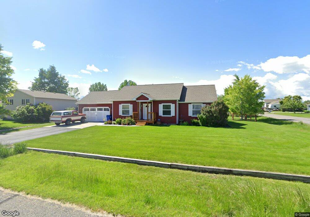
110 Bronco Dr Bozeman, MT 59718
Estimated Value: $627,000 - $666,000
3
Beds
2
Baths
1,344
Sq Ft
$478/Sq Ft
Est. Value
About This Home
This home is located at 110 Bronco Dr, Bozeman, MT 59718 and is currently estimated at $642,818, approximately $478 per square foot. 110 Bronco Dr is a home located in Gallatin County with nearby schools including Heck/Quaw Elementary School and Belgrade High School.
Ownership History
Date
Name
Owned For
Owner Type
Purchase Details
Closed on
Oct 14, 2005
Sold by
Sienkowski Lee J and Sienkowski Mary F
Bought by
Grisso Eric C and Grisso Cheryl D
Current Estimated Value
Home Financials for this Owner
Home Financials are based on the most recent Mortgage that was taken out on this home.
Original Mortgage
$203,200
Outstanding Balance
$107,869
Interest Rate
5.63%
Mortgage Type
Fannie Mae Freddie Mac
Estimated Equity
$534,949
Create a Home Valuation Report for This Property
The Home Valuation Report is an in-depth analysis detailing your home's value as well as a comparison with similar homes in the area
Home Values in the Area
Average Home Value in this Area
Purchase History
| Date | Buyer | Sale Price | Title Company |
|---|---|---|---|
| Grisso Eric C | -- | Montana Title & Escrow |
Source: Public Records
Mortgage History
| Date | Status | Borrower | Loan Amount |
|---|---|---|---|
| Open | Grisso Eric C | $203,200 |
Source: Public Records
Tax History Compared to Growth
Tax History
| Year | Tax Paid | Tax Assessment Tax Assessment Total Assessment is a certain percentage of the fair market value that is determined by local assessors to be the total taxable value of land and additions on the property. | Land | Improvement |
|---|---|---|---|---|
| 2025 | $2,824 | $706,100 | $0 | $0 |
| 2024 | $4,088 | $675,500 | $0 | $0 |
| 2023 | $4,075 | $675,500 | $0 | $0 |
| 2022 | $2,778 | $370,700 | $0 | $0 |
| 2021 | $2,942 | $370,700 | $0 | $0 |
| 2020 | $2,564 | $319,500 | $0 | $0 |
| 2019 | $2,611 | $319,500 | $0 | $0 |
| 2018 | $2,495 | $287,900 | $0 | $0 |
| 2017 | $2,571 | $287,900 | $0 | $0 |
| 2016 | $2,166 | $239,300 | $0 | $0 |
| 2015 | $2,018 | $239,300 | $0 | $0 |
| 2014 | $1,945 | $140,503 | $0 | $0 |
Source: Public Records
Map
Nearby Homes
- 370 Prospector Trail
- 283 Valley Grove Dr
- 126 Pathfinder Trail
- 174 Valley Grove Dr
- 604 Morrison Ave Unit B
- 11 Liberty Dr
- 9 Liberty Dr
- 6 Liberty Dr
- 13 Liberty Dr
- 5 Liberty Dr
- 339 Mountain Lion Trail
- 12 Pathfinder Trail
- Lot 2A Bison Trail
- 1 Candlelight Dr
- 47 Poplar Dr
- 16 Tailwater Dr
- 17 Tailwater Dr
- 19 Tailwater Dr
- TBD E Cameron Bridge Rd
- 23 Tailwater Dr
- 90 Bronco Dr
- 119 Bronco Dr
- 117 Maverick Trail
- 97 Bronco Dr
- 93 Maverick Trail
- 70 Bronco Dr
- 145 Bronco Dr
- 361 Valley Grove Dr
- 63 Bronco Dr
- 341 Valley Grove Dr
- 50 Bronco Dr
- 321 Valley Grove Dr
- 71 Maverick Trail
- 276 Prospector Trail
- 86 Wrangler Dr
- 94 Wrangler Dr
- 60 Wrangler Dr
- 37 Bronco Dr
- 30 Bronco Dr
- 47 Maverick Trail