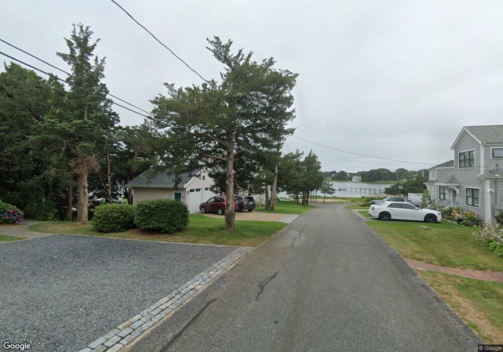
110 Circuit Ave Pocasset, MA 02559
Pocasset NeighborhoodEstimated Value: $1,304,000 - $2,238,000
4
Beds
4
Baths
2,926
Sq Ft
$638/Sq Ft
Est. Value
About This Home
This home is located at 110 Circuit Ave, Pocasset, MA 02559 and is currently estimated at $1,866,657, approximately $637 per square foot. 110 Circuit Ave is a home located in Barnstable County with nearby schools including Bourne High School, Cadence Academy Preschool - Bourne, and Heritage Christian Academy.
Ownership History
Date
Name
Owned For
Owner Type
Purchase Details
Closed on
Aug 9, 2022
Sold by
Primmerman Charles A and Primmerman Christa M
Bought by
Primmerman Charles A and Primmerman Christa M
Current Estimated Value
Home Financials for this Owner
Home Financials are based on the most recent Mortgage that was taken out on this home.
Original Mortgage
$1,100,000
Outstanding Balance
$1,051,389
Interest Rate
5.81%
Mortgage Type
New Conventional
Estimated Equity
$815,268
Create a Home Valuation Report for This Property
The Home Valuation Report is an in-depth analysis detailing your home's value as well as a comparison with similar homes in the area
Home Values in the Area
Average Home Value in this Area
Purchase History
| Date | Buyer | Sale Price | Title Company |
|---|---|---|---|
| Primmerman Charles A | -- | None Available | |
| Primmerman Charles A | -- | None Available | |
| Primmerman Charles A | -- | None Available |
Source: Public Records
Mortgage History
| Date | Status | Borrower | Loan Amount |
|---|---|---|---|
| Open | Primmerman Charles A | $1,100,000 | |
| Closed | Primmerman Charles A | $1,100,000 |
Source: Public Records
Tax History
| Year | Tax Paid | Tax Assessment Tax Assessment Total Assessment is a certain percentage of the fair market value that is determined by local assessors to be the total taxable value of land and additions on the property. | Land | Improvement |
|---|---|---|---|---|
| 2025 | $12,448 | $1,593,900 | $741,500 | $852,400 |
| 2024 | $9,479 | $1,181,900 | $706,100 | $475,800 |
| 2023 | $7,982 | $906,000 | $703,100 | $202,900 |
| 2022 | $8,470 | $839,400 | $677,500 | $161,900 |
| 2021 | $8,236 | $764,700 | $616,600 | $148,100 |
| 2020 | $8,160 | $759,800 | $610,700 | $149,100 |
| 2019 | $7,905 | $752,100 | $610,700 | $141,400 |
| 2018 | $7,558 | $717,100 | $581,700 | $135,400 |
| 2017 | $7,322 | $710,900 | $576,200 | $134,700 |
| 2016 | $7,026 | $691,500 | $576,200 | $115,300 |
| 2015 | $6,963 | $691,500 | $576,200 | $115,300 |
Source: Public Records
Map
Nearby Homes
Your Personal Tour Guide
Ask me questions while you tour the home.