
Seller's Agent in 2025
Zanita Lundy
Vylla Home
(225) 259-1285
1 in this area
50 Total Sales
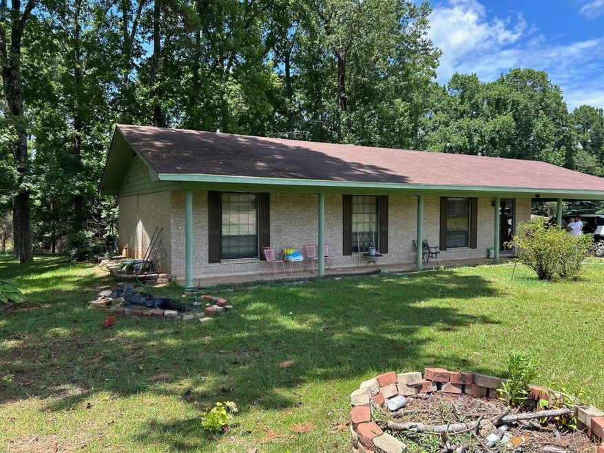
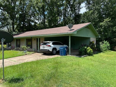
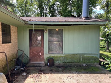
This beautifully updated home features new wood flooring, granite countertops, and an updated guest bath. The kitchen includes brand-new appliances, and the washer and dryer convey for your convenience. Enjoy two spacious living areas, including a serene back living room with large windows and a wood storage box—perfect for relaxing and taking in the view. A cozy wood-burning fireplace with blower adds warmth and charm.
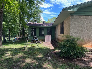
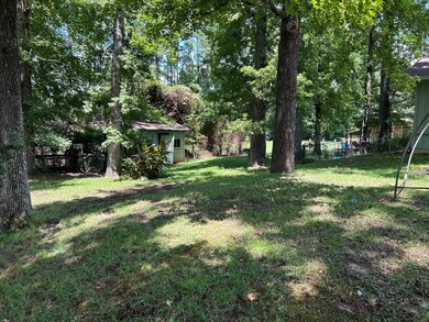
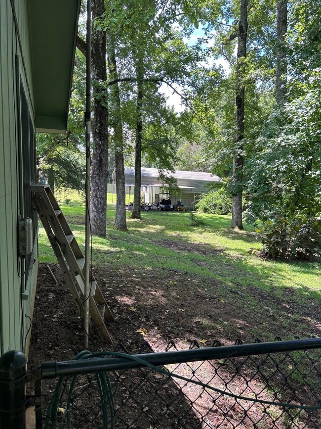
Nestled in a quiet neighborhood, this home sits on a large lot with plenty of space for outdoor gatherings, gardening, and more. With so many amenities and thoughtful updates, this move-in-ready home is a must-see!
| Date | Type | Sale Price | Title Company |
|---|---|---|---|
| Deed | $145,000 | Bayou Title | |
| Deed | $70,000 | None Available |
| Date | Status | Loan Amount | Loan Type |
|---|---|---|---|
| Open | $142,373 | New Conventional | |
| Previous Owner | $70,000 | Future Advance Clause Open End Mortgage |
| Date | Event | Price | List to Sale | Price per Sq Ft |
|---|---|---|---|---|
| 09/25/2025 09/25/25 | Sold | -- | -- | -- |
| 08/20/2025 08/20/25 | Pending | -- | -- | -- |
| 07/28/2025 07/28/25 | For Sale | $145,000 | -- | $97 / Sq Ft |
| Year | Tax Paid | Tax Assessment Tax Assessment Total Assessment is a certain percentage of the fair market value that is determined by local assessors to be the total taxable value of land and additions on the property. | Land | Improvement |
|---|---|---|---|---|
| 2024 | $1,103 | $6,025 | $630 | $5,395 |
| 2023 | $1,118 | $5,995 | $600 | $5,395 |
| 2022 | $1,118 | $5,995 | $600 | $5,395 |
| 2021 | $1,119 | $5,995 | $600 | $5,395 |
| 2020 | $1,112 | $5,995 | $600 | $5,395 |
| 2019 | $1,066 | $5,791 | $600 | $5,191 |
| 2018 | $75 | $5,791 | $600 | $5,191 |
| 2017 | $1,063 | $5,791 | $600 | $5,191 |
| 2015 | $75 | $7,297 | $600 | $6,697 |
| 2014 | $75 | $7,290 | $600 | $6,690 |
| 2013 | -- | $4,470 | $380 | $4,090 |
Seller's Agent in 2025
Zanita Lundy
Vylla Home
(225) 259-1285
1 in this area
50 Total Sales
R
Buyer's Agent in 2025
Rhonda Green
Keller Williams Northwest
(318) 423-4674
5 in this area
29 Total Sales
Source: North Texas Real Estate Information Systems (NTREIS)
MLS Number: 21014426
APN: 221635-004-0030-00
Disclaimer: Certain information contained herein is derived from information provided by parties other than Homes.com. All information provided is deemed reliable, but is not guaranteed to be accurate and should be independently verified.
![]() Listing information provided in part by the North Texas Real Estate Information Systems, Inc, for personal, non-commercial use by viewers of this site and may not be reproduced or redistributed. All information is deemed reliable but not guaranteed. Copyright © NTREIS 2025. All rights reserved
Listing information provided in part by the North Texas Real Estate Information Systems, Inc, for personal, non-commercial use by viewers of this site and may not be reproduced or redistributed. All information is deemed reliable but not guaranteed. Copyright © NTREIS 2025. All rights reserved