110 Max Way Greeneville, TN 37743
Estimated Value: $398,000 - $625,000
--
Bed
3
Baths
3,446
Sq Ft
$153/Sq Ft
Est. Value
About This Home
This home is located at 110 Max Way, Greeneville, TN 37743 and is currently estimated at $528,767, approximately $153 per square foot. 110 Max Way is a home located in Greene County with nearby schools including Camp Creek Elementary School, South Greene Middle School, and South Greene High School.
Ownership History
Date
Name
Owned For
Owner Type
Purchase Details
Closed on
Jul 21, 2022
Sold by
Barbara H Lawson Trust
Bought by
Nelson Audra Lawson and Nelson Benjamin Barrett
Current Estimated Value
Home Financials for this Owner
Home Financials are based on the most recent Mortgage that was taken out on this home.
Original Mortgage
$360,000
Outstanding Balance
$265,584
Interest Rate
5.23%
Mortgage Type
New Conventional
Estimated Equity
$263,183
Purchase Details
Closed on
Feb 25, 2015
Sold by
Lawson Max W and Lawson Barbara H
Bought by
Lawson Max W & Barbara H Marshall H Peterson
Purchase Details
Closed on
Feb 23, 2015
Sold by
Lawson Max W and Lawson Barbara H
Bought by
Lawson Max W & Barbara H Marshall H Peterson
Purchase Details
Closed on
Jun 14, 2007
Sold by
Lawson Barbara H
Bought by
Lawson Barbara H
Create a Home Valuation Report for This Property
The Home Valuation Report is an in-depth analysis detailing your home's value as well as a comparison with similar homes in the area
Home Values in the Area
Average Home Value in this Area
Purchase History
| Date | Buyer | Sale Price | Title Company |
|---|---|---|---|
| Nelson Audra Lawson | $450,000 | None Listed On Document | |
| Lawson Max W & Barbara H Marshall H Peterson | -- | -- | |
| Lawson Max W & Barbara H Marshall H Peterson | -- | -- | |
| Lawson Barbara H | -- | -- |
Source: Public Records
Mortgage History
| Date | Status | Borrower | Loan Amount |
|---|---|---|---|
| Open | Nelson Audra Lawson | $360,000 |
Source: Public Records
Tax History Compared to Growth
Tax History
| Year | Tax Paid | Tax Assessment Tax Assessment Total Assessment is a certain percentage of the fair market value that is determined by local assessors to be the total taxable value of land and additions on the property. | Land | Improvement |
|---|---|---|---|---|
| 2024 | $2,136 | $129,450 | $12,175 | $117,275 |
| 2023 | $2,136 | $129,450 | $0 | $0 |
| 2022 | $141,900 | $70,425 | $10,350 | $60,075 |
| 2021 | $1,419 | $70,425 | $10,350 | $60,075 |
| 2020 | $1,419 | $70,425 | $10,350 | $60,075 |
| 2019 | $1,419 | $70,425 | $10,350 | $60,075 |
| 2018 | $1,419 | $70,425 | $10,350 | $60,075 |
| 2017 | $1,346 | $68,200 | $10,625 | $57,575 |
| 2016 | $1,277 | $68,200 | $10,625 | $57,575 |
| 2015 | $1,277 | $68,200 | $10,625 | $57,575 |
| 2014 | $1,242 | $66,300 | $8,725 | $57,575 |
Source: Public Records
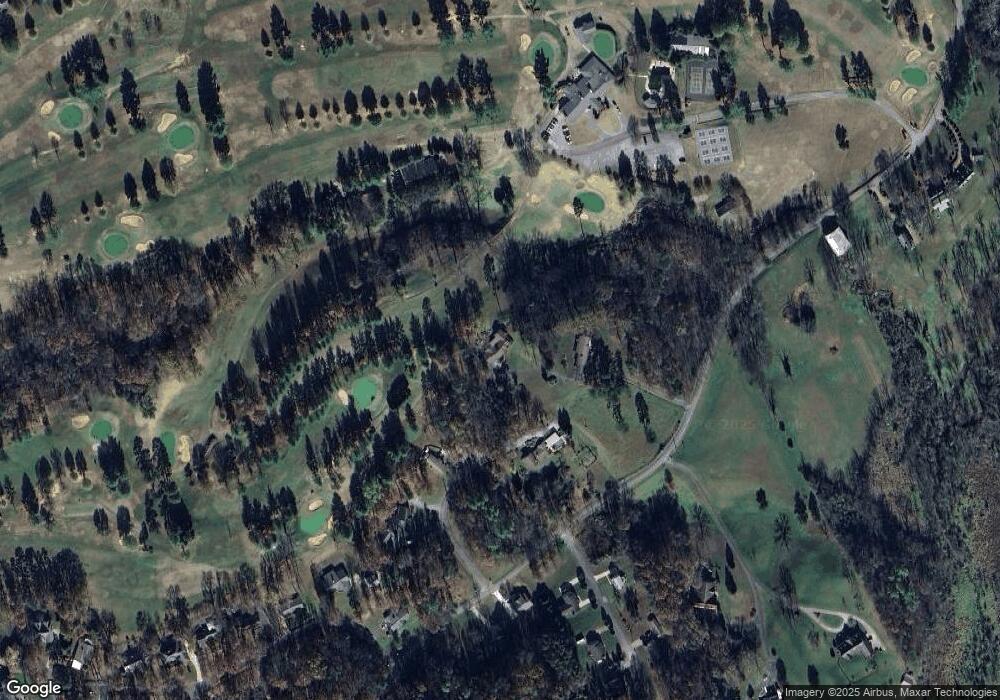
Map
Nearby Homes
- 960 E Allens Bridge Rd
- 35 Alpine Cove
- 40 Oakmont Ln
- 280 Green Lawn Ave
- 3810 Whirlwind Rd
- 48 River Pointe Dr
- 96 River Pointe Dr
- 71 River Pointe Dr
- 61 River Pointe Dr
- 60 River Pointe Dr
- 62 River Pointe Dr
- 7 River Pointe Dr
- 72 River Pointe Dr
- 1 River Pointe Dr
- Lot 58 River Pointe Dr
- Lot 57 River Pointe Dr
- 294 River Pointe Dr
- 210 Emperor Ln
- 364 River Pointe Dr
- 52 Tucker Ct
- 96 Link Hills Cir
- 75 Link Hills Cir
- 500 Deborahs Way
- 504 Deborahs Way
- Lot 20 Link Hills Cir
- Lot 21 Link Hills Cir
- 0 Link Hills Cir
- 0 Lot 21 Link Hills Cir
- 0 Lot 20 Link Hills Cir
- Parcel 146 E Allens Bridge Rd
- 45 Parrish Dr
- 40 Parrish Dr
- 165 Fairway Dr
- 185 Fairway Dr
- 950 E Allens Bridge Rd
- 70 Parrish Dr
- 1106 E Allens Bridge Rd
- 141 Fairway Dr
- 85 Parrish Dr
- 55 Alpine Cove