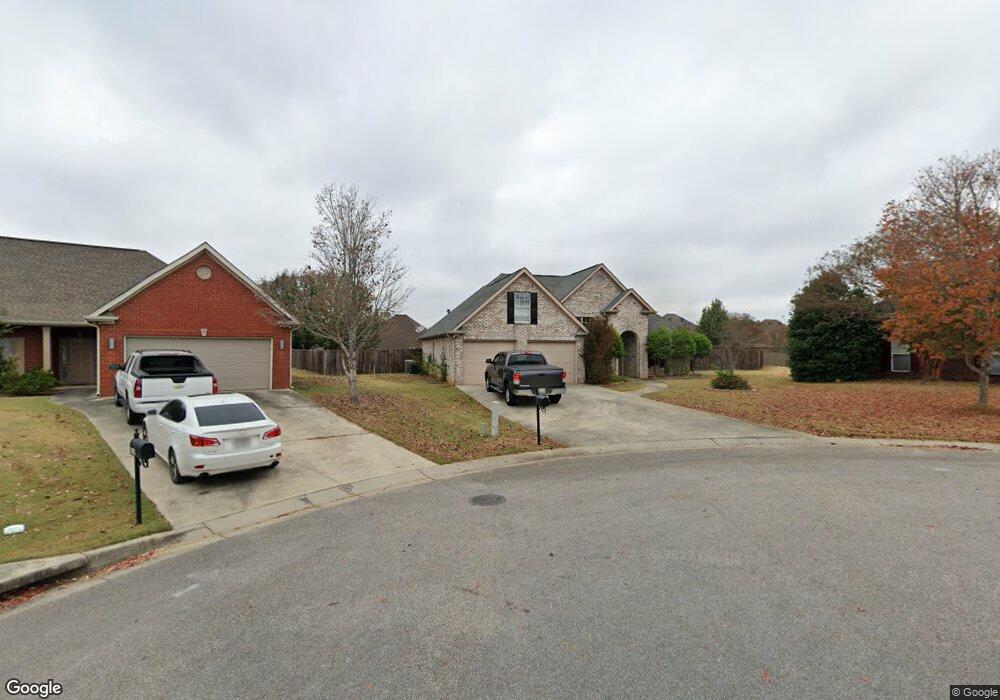
110 Queens Gate Alabaster, AL 35114
Estimated Value: $290,410 - $343,000
Studio
--
Bath
1,706
Sq Ft
$181/Sq Ft
Est. Value
About This Home
This home is located at 110 Queens Gate, Alabaster, AL 35114 and is currently estimated at $309,103, approximately $181 per square foot. 110 Queens Gate is a home with nearby schools including Thompson Intermediate School, Thompson Middle School, and Thompson High School.
Ownership History
Date
Name
Owned For
Owner Type
Purchase Details
Closed on
May 12, 2008
Sold by
Federal National Mortgage Association
Bought by
Smith Cassandra N
Current Estimated Value
Home Financials for this Owner
Home Financials are based on the most recent Mortgage that was taken out on this home.
Original Mortgage
$176,136
Outstanding Balance
$111,312
Interest Rate
5.84%
Mortgage Type
FHA
Estimated Equity
$197,791
Purchase Details
Closed on
Jul 6, 2007
Sold by
Gulas Nickolas and Gulas Teshia
Bought by
Netbank
Purchase Details
Closed on
Feb 28, 2003
Sold by
W A Jones Construction Co Inc
Bought by
Gulas Nickolas and Gulas Teshia
Home Financials for this Owner
Home Financials are based on the most recent Mortgage that was taken out on this home.
Original Mortgage
$167,365
Interest Rate
5.74%
Create a Home Valuation Report for This Property
The Home Valuation Report is an in-depth analysis detailing your home's value as well as a comparison with similar homes in the area
Home Values in the Area
Average Home Value in this Area
Purchase History
| Date | Buyer | Sale Price | Title Company |
|---|---|---|---|
| Smith Cassandra N | $178,900 | None Available | |
| Netbank | $175,441 | None Available | |
| Netbank | $175,441 | None Available | |
| Gulas Nickolas | $167,365 | -- |
Source: Public Records
Mortgage History
| Date | Status | Borrower | Loan Amount |
|---|---|---|---|
| Open | Smith Cassandra N | $176,136 | |
| Previous Owner | Gulas Nickolas | $167,365 |
Source: Public Records
Tax History
| Year | Tax Paid | Tax Assessment Tax Assessment Total Assessment is a certain percentage of the fair market value that is determined by local assessors to be the total taxable value of land and additions on the property. | Land | Improvement |
|---|---|---|---|---|
| 2024 | $1,459 | $27,020 | $0 | $0 |
| 2023 | $1,338 | $25,540 | $0 | $0 |
| 2022 | $1,233 | $23,600 | $0 | $0 |
| 2021 | $1,064 | $20,460 | $0 | $0 |
| 2020 | $988 | $19,060 | $0 | $0 |
| 2019 | $940 | $18,160 | $0 | $0 |
| 2017 | $850 | $16,500 | $0 | $0 |
| 2015 | $804 | $15,640 | $0 | $0 |
| 2014 | $805 | $15,660 | $0 | $0 |
Source: Public Records
Map
Nearby Homes
- 501 Ramsgate Dr
- 208 Queens Gate
- 105 Abington Cir
- 120 Mayfair Park
- 236 Queens Gate
- 174 Cedar Grove Pkwy
- 306 Mayfair Cir
- 312 Cornwall Dr
- 132 Victoria Station
- 109 Kingsley Cir
- 544 Ramsgate Dr
- 124 Kingsley Rd
- 537 Ramsgate Dr
- 545 Ramsgate Dr
- 305 Cedar Grove Ct
- 549 Ramsgate Dr
- 309 Cedar Grove Ct
- 2001 1st Ave W
- 280 Cedar Grove Pkwy
- 1805 Mohawk Dr
- 109 Queens Gate
- 108 Queens Gate
- 118 Paddington Station
- 116 Paddington Station
- 105 Queens Gate
- 120 Paddington Station
- 104 Queens Gate
- 186 Churchill Dr
- 122 Paddington Station
- 103 Queens Gate
- 100 Queens Gate
- 182 Churchill Dr
- 112 Paddington Station
- 176 Churchill Dr
- 124 Paddington Station
- 125 Londonderry
- 117 Paddington Station
- 101 Queens Gate
- 190 Churchill Dr
- 113 Paddington Station
Your Personal Tour Guide
Ask me questions while you tour the home.