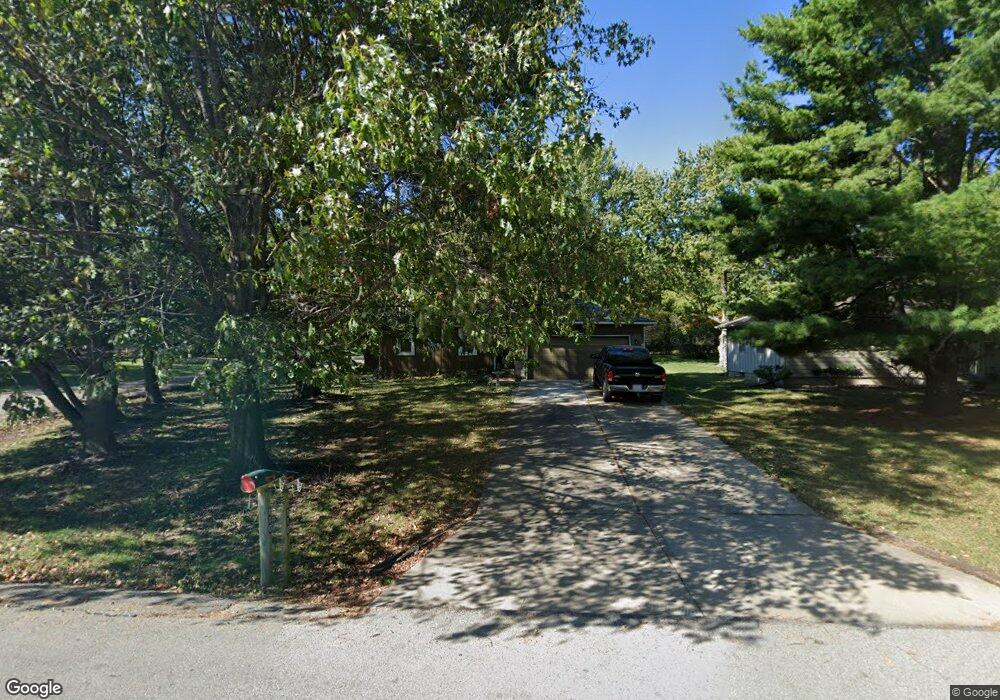
110 S Monroe St Raymore, MO 64083
Estimated Value: $239,203 - $264,000
3
Beds
1
Bath
1,087
Sq Ft
$232/Sq Ft
Est. Value
About This Home
This home is located at 110 S Monroe St, Raymore, MO 64083 and is currently estimated at $252,551, approximately $232 per square foot. 110 S Monroe St is a home located in Cass County with nearby schools including Raymore Elementary School, Raymore-Peculiar East Middle School, and Raymore-Peculiar Senior High School.
Ownership History
Date
Name
Owned For
Owner Type
Purchase Details
Closed on
Dec 6, 2016
Sold by
Sherman Roland C and Sherman Debra J
Bought by
Sherman Roland C and Sherman Debra J
Current Estimated Value
Home Financials for this Owner
Home Financials are based on the most recent Mortgage that was taken out on this home.
Original Mortgage
$128,612
Interest Rate
3.47%
Mortgage Type
FHA
Create a Home Valuation Report for This Property
The Home Valuation Report is an in-depth analysis detailing your home's value as well as a comparison with similar homes in the area
Home Values in the Area
Average Home Value in this Area
Purchase History
| Date | Buyer | Sale Price | Title Company |
|---|---|---|---|
| Sherman Roland C | -- | Clear Title |
Source: Public Records
Mortgage History
| Date | Status | Borrower | Loan Amount |
|---|---|---|---|
| Closed | Sherman Roland C | $128,612 |
Source: Public Records
Tax History
| Year | Tax Paid | Tax Assessment Tax Assessment Total Assessment is a certain percentage of the fair market value that is determined by local assessors to be the total taxable value of land and additions on the property. | Land | Improvement |
|---|---|---|---|---|
| 2025 | $1,784 | $24,610 | $3,340 | $21,270 |
| 2024 | $1,784 | $21,920 | $3,040 | $18,880 |
| 2023 | $1,782 | $21,920 | $3,040 | $18,880 |
| 2022 | $1,584 | $19,360 | $3,040 | $16,320 |
| 2021 | $1,584 | $19,360 | $3,040 | $16,320 |
| 2020 | $1,554 | $18,660 | $3,040 | $15,620 |
| 2019 | $1,501 | $18,660 | $3,040 | $15,620 |
| 2018 | $1,369 | $16,440 | $2,430 | $14,010 |
| 2017 | $1,209 | $16,440 | $2,430 | $14,010 |
| 2016 | $1,209 | $15,070 | $2,430 | $12,640 |
| 2015 | $1,210 | $15,070 | $2,430 | $12,640 |
| 2014 | $1,210 | $15,070 | $2,430 | $12,640 |
| 2013 | -- | $15,070 | $2,430 | $12,640 |
Source: Public Records
Map
Nearby Homes
- 211 S Franklin St
- 305 E Olive St
- 405 S Monroe St
- 204 N Pointe Ln
- 219 Pointe Ln
- 221 N Pointe Ln
- 503 S Harrison Ave
- 506 S Adams St
- 222 N Madison St
- 515 S Saturn Dr
- 528 S Saturn Dr
- 605 S Franklin St
- 702 Twilight Ct
- 408 N Washington St
- 317 & 319 W Foxwood Dr
- 101 N Franklin St
- 100 N Franklin St
- 600 W Buena Vista Dr
- 522 Neptune Dr
- 0 Missouri 58
- 108 S Monroe St
- 0 Maple St Unit 1693147
- 205 E Maple St
- 113 S Franklin St
- 104 S Monroe St
- 210 S Monroe St
- 203 E Walnut St
- 201 E Walnut St
- 101 S Monroe St
- 218 S Monroe St
- 412 S Monroe St
- 214 S Franklin St
- 209 S Franklin St
- 110 S Franklin St
- 106 E Maple St
- 206 E Olive St
- 204 E Walnut St
- 210 E Walnut St
- 204 S Franklin St
- 305 E Walnut St
Your Personal Tour Guide
Ask me questions while you tour the home.