110 Topsail Dr Unit W Anderson, SC 29625
Estimated Value: $1,034,000 - $1,199,868
5
Beds
5
Baths
3,726
Sq Ft
$297/Sq Ft
Est. Value
About This Home
This home is located at 110 Topsail Dr Unit W, Anderson, SC 29625 and is currently estimated at $1,106,956, approximately $297 per square foot. 110 Topsail Dr Unit W is a home located in Anderson County with nearby schools including Pendleton High School.
Ownership History
Date
Name
Owned For
Owner Type
Purchase Details
Closed on
Sep 30, 2025
Sold by
A & R Investment Group Llc
Bought by
Clement Kevin and Clement Maureen
Current Estimated Value
Purchase Details
Closed on
Sep 12, 2022
Sold by
Parker Jr Robert N
Bought by
Jensen Timothy W and Jensen Amy B
Home Financials for this Owner
Home Financials are based on the most recent Mortgage that was taken out on this home.
Original Mortgage
$750,000
Interest Rate
4.99%
Mortgage Type
Balloon
Purchase Details
Closed on
Sep 11, 2009
Sold by
Wilson Lloyd W
Bought by
Parker Robert N and Parker Elizabeth H
Purchase Details
Closed on
Nov 30, 2005
Sold by
Top Sail Bay Llc
Bought by
Barnes Commercial Holdings Llc
Home Financials for this Owner
Home Financials are based on the most recent Mortgage that was taken out on this home.
Original Mortgage
$22,950
Interest Rate
5.66%
Mortgage Type
Purchase Money Mortgage
Create a Home Valuation Report for This Property
The Home Valuation Report is an in-depth analysis detailing your home's value as well as a comparison with similar homes in the area
Home Values in the Area
Average Home Value in this Area
Purchase History
| Date | Buyer | Sale Price | Title Company |
|---|---|---|---|
| Clement Kevin | $69,900 | None Listed On Document | |
| Jensen Timothy W | $950,000 | -- | |
| Parker Robert N | $22,336 | -- | |
| Wilson Lloyd W | $22,336 | -- | |
| Barnes Commercial Holdings Llc | $25,000 | -- |
Source: Public Records
Mortgage History
| Date | Status | Borrower | Loan Amount |
|---|---|---|---|
| Previous Owner | Jensen Timothy W | $750,000 | |
| Previous Owner | Barnes Commercial Holdings Llc | $22,950 |
Source: Public Records
Tax History Compared to Growth
Tax History
| Year | Tax Paid | Tax Assessment Tax Assessment Total Assessment is a certain percentage of the fair market value that is determined by local assessors to be the total taxable value of land and additions on the property. | Land | Improvement |
|---|---|---|---|---|
| 2024 | $5,794 | $38,000 | $17,130 | $20,870 |
| 2023 | $5,794 | $57,000 | $25,700 | $31,300 |
| 2022 | $3,958 | $29,070 | $8,200 | $20,870 |
| 2021 | $2,899 | $24,010 | $7,460 | $16,550 |
| 2020 | $2,858 | $24,010 | $7,460 | $16,550 |
| 2019 | $2,858 | $24,010 | $7,460 | $16,550 |
| 2018 | $2,881 | $24,010 | $7,460 | $16,550 |
| 2017 | -- | $24,010 | $7,460 | $16,550 |
| 2016 | $2,519 | $23,960 | $7,460 | $16,500 |
| 2015 | $2,538 | $23,960 | $7,460 | $16,500 |
| 2014 | $2,625 | $1,800 | $1,800 | $0 |
Source: Public Records
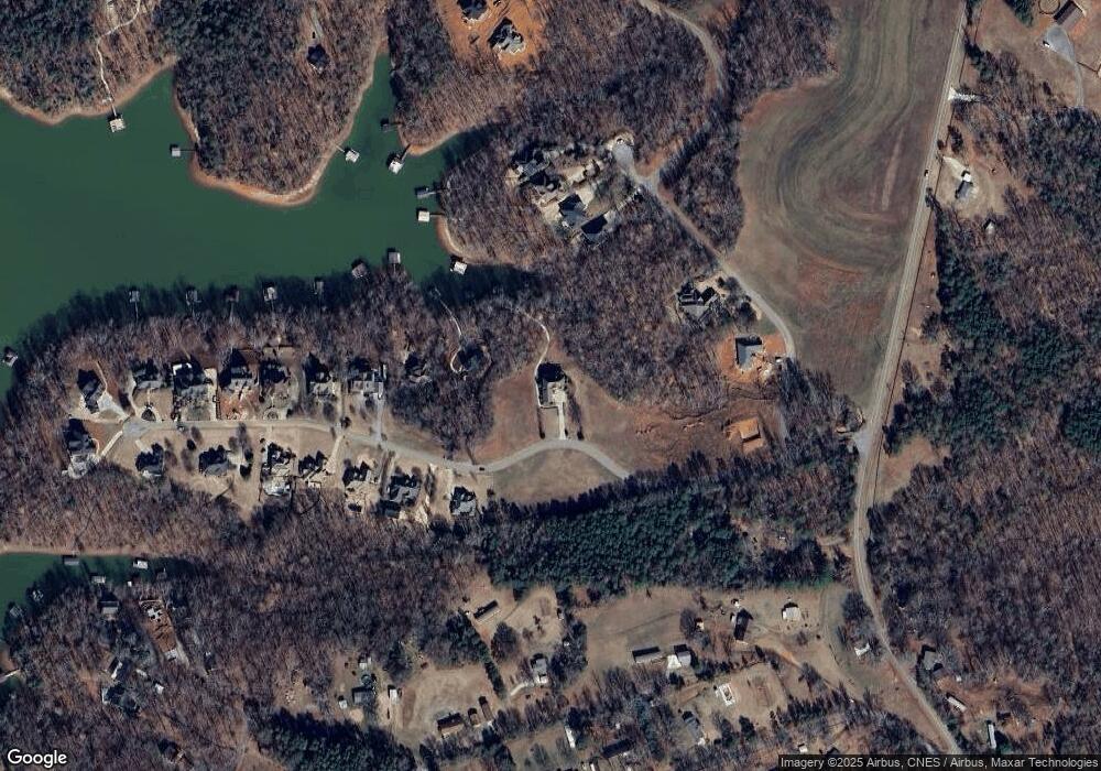
Map
Nearby Homes
- 106 Topsail Dr
- 113 Topsail Dr
- 104 C-4-112a
- 102 C-4-112a
- 125 Maffett Cir
- 115 Woodshore Dr
- 204 Rock Creek Rd
- 105 Cliftons Landing Dr
- 210 Jackson Cir
- 2152 Deloach Dr
- 104 Pawleys Ct
- 712 Whitney Way
- 2221 Roach Cir
- 220 Oak Shores Rd
- 5677 Hix Rd
- 4638 Pine Needle Cir
- 3310 Centerville Rd
- 5655 Hix Rd
- 104 Midway Dr
- 303 Plantation Point
- 110 Topsail Dr
- 110 Topsail Dr Unit w/covered dock
- 110 Topsail Dr Unit Waterfront 4 Lots
- 112 Topsail Dr
- 114 Topsail Dr
- 114 C-4-112a
- Lot 23 C-4-112a
- Lot 23 C-4-112a Unit 23
- Lot 22 C-4-112a
- 17 C-4-112a
- LOT 17 C-4-112a
- Lot 4 C-4-112a
- Lot 3 C-4-112a
- Lot 25 C-4-112a
- 106 C-4-112a
- 0 Topsail Bay Unit 1295887
- 0 Topsail Bay Unit 1404202
- 0 Topsail Bay Unit 23 8677966
- 116 Topsail Dr
- 116 Topsail Dr Unit Anderson