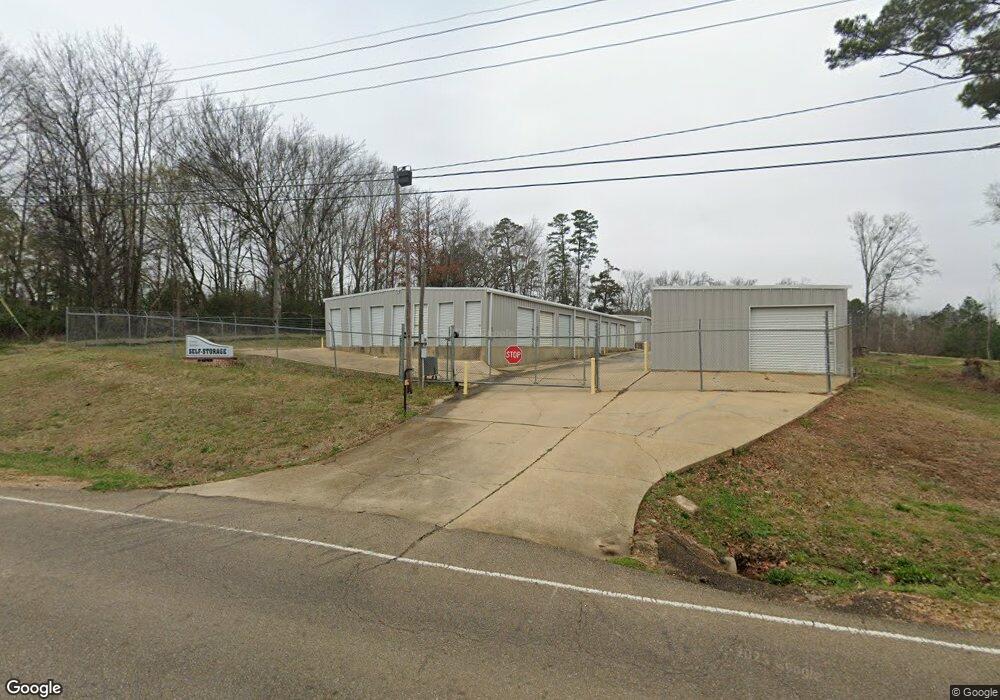
110 Value Rd Brandon, MS 39042
Estimated Value: $522,287
Studio
--
Bath
14,200
Sq Ft
$37/Sq Ft
Est. Value
About This Home
This home is located at 110 Value Rd, Brandon, MS 39042 and is currently estimated at $522,287, approximately $36 per square foot. 110 Value Rd is a home located in Rankin County with nearby schools including Rouse Elementary School, Brandon Elementary School, and Stonebridge Elementary School.
Ownership History
Date
Name
Owned For
Owner Type
Purchase Details
Closed on
May 15, 2023
Sold by
River Ridge Development Llc
Bought by
Crown Homes Llc
Current Estimated Value
Purchase Details
Closed on
May 11, 2023
Sold by
River Ridge Development Llc
Bought by
Crown Homes Llc
Purchase Details
Closed on
May 8, 2023
Sold by
J & S Projects Llc
Bought by
B & B Enterprises Of Mississippi Llc
Purchase Details
Closed on
May 5, 2023
Sold by
Chaffin Richard Lee
Bought by
Rebel Ranch Llc Llc
Purchase Details
Closed on
May 4, 2023
Sold by
Whitley John T
Bought by
Whitley John T and Whitley Mack Franklin
Purchase Details
Closed on
May 1, 2023
Sold by
Ashley John E and Ashley Bobby L
Bought by
Schmelzle Amy Ashley and Withers Amy Ashley
Create a Home Valuation Report for This Property
The Home Valuation Report is an in-depth analysis detailing your home's value as well as a comparison with similar homes in the area
Home Values in the Area
Average Home Value in this Area
Purchase History
| Date | Buyer | Sale Price | Title Company |
|---|---|---|---|
| Crown Homes Llc | -- | None Listed On Document | |
| Crown Homes Llc | -- | None Listed On Document | |
| Crown Homes Llc | -- | None Listed On Document | |
| B & B Enterprises Of Mississippi Llc | -- | None Listed On Document | |
| Rebel Ranch Llc Llc | -- | None Listed On Document | |
| Rebel Ranch Llc Llc | -- | None Listed On Document | |
| Whitley John T | -- | None Listed On Document | |
| Schmelzle Amy Ashley | -- | None Listed On Document |
Source: Public Records
Tax History
| Year | Tax Paid | Tax Assessment Tax Assessment Total Assessment is a certain percentage of the fair market value that is determined by local assessors to be the total taxable value of land and additions on the property. | Land | Improvement |
|---|---|---|---|---|
| 2025 | $6,654 | $50,275 | $0 | $0 |
| 2024 | $6,562 | $50,275 | $0 | $0 |
| 2023 | $4,495 | $34,442 | $0 | $0 |
| 2022 | $4,444 | $34,442 | $0 | $0 |
| 2021 | $4,985 | $38,635 | $0 | $0 |
| 2020 | $4,985 | $38,635 | $0 | $0 |
| 2019 | $4,598 | $34,886 | $0 | $0 |
| 2018 | $4,528 | $34,886 | $0 | $0 |
| 2017 | $4,505 | $34,711 | $0 | $0 |
| 2016 | $5,147 | $42,613 | $0 | $0 |
| 2015 | $5,147 | $42,613 | $0 | $0 |
| 2014 | $5,056 | $42,613 | $0 | $0 |
| 2013 | $5,056 | $42,613 | $0 | $0 |
Source: Public Records
Map
Nearby Homes
- 614 Spencer Dr
- 505 Stuart Crossing
- 0 Hwy 471 Unit 4145084
- 0001 Old Highway 471
- 60 Eastgate Dr
- 122 Pavilion Dr
- 407 Thorngate Dr
- 919 Filmore Dr
- 115 Shelby Mae Cir
- 0 Mississippi 18
- 234 Terrace Dr
- 402 Treeline Dr
- 0 Paschal Hill Rd Unit 4041913
- 0 Thorngate Dr
- 23 Dawnview Dr
- 0 W Jasper St
- 609 Osprey Cove
- 607 Osprey Cove
- 611 Osprey Cove
- 605 Osprey Cove
- 107 Oak St
- 1115 W Government St
- 276 Maxey Dr
- 1130 Oak St
- 130 Value Rd
- 0 Maxey Dr Unit Lot 15
- 1250 W Government St
- 0 Oak St
- 1 Oak St
- 2009 Rolling Hill Dr
- 2007 Rolling Hill Dr
- 2005 Rolling Hill Dr
- 2011 Rolling Hill Dr
- 2003 Rolling Hill Dr
- 2013 Rolling Hill Dr
- 2015 Rolling Hill Dr
- 2001 Rolling Hill Dr
- 392 Pecan Cir
- 2019 Rolling Hill Dr
- 0 Rolling Hill Dr Unit Lot 18
Your Personal Tour Guide
Ask me questions while you tour the home.