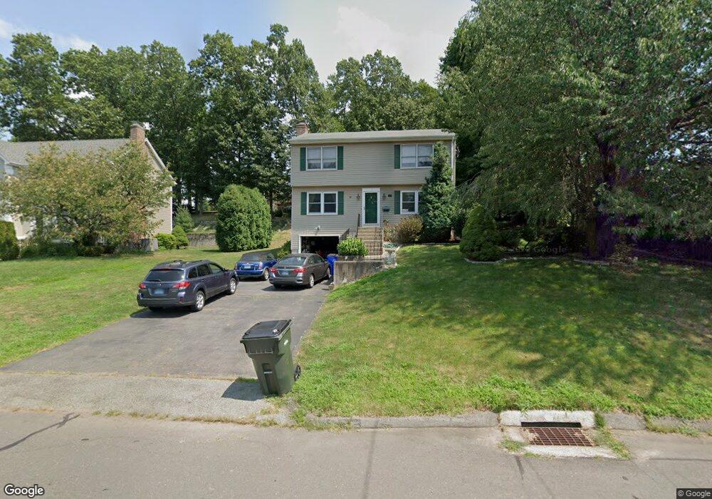
110 Westlook Rd Wethersfield, CT 06109
Estimated Value: $438,000 - $465,213
3
Beds
3
Baths
1,632
Sq Ft
$276/Sq Ft
Est. Value
About This Home
This home is located at 110 Westlook Rd, Wethersfield, CT 06109 and is currently estimated at $451,053, approximately $276 per square foot. 110 Westlook Rd is a home located in Hartford County with nearby schools including Emerson-Williams School, Silas Deane Middle School, and Wethersfield High School.
Ownership History
Date
Name
Owned For
Owner Type
Purchase Details
Closed on
May 25, 2004
Sold by
Arcaria Angelo S and Arcaria Melissa M
Bought by
Hanson Gary W
Current Estimated Value
Purchase Details
Closed on
Nov 25, 1992
Sold by
Makris Mary A
Bought by
Arcaria Angelo S and Devecchis Meliss M
Purchase Details
Closed on
Oct 4, 1989
Sold by
Mrm Bldrs Inc
Bought by
Klemes James J
Create a Home Valuation Report for This Property
The Home Valuation Report is an in-depth analysis detailing your home's value as well as a comparison with similar homes in the area
Home Values in the Area
Average Home Value in this Area
Purchase History
| Date | Buyer | Sale Price | Title Company |
|---|---|---|---|
| Hanson Gary W | $260,000 | -- | |
| Arcaria Angelo S | $82,500 | -- | |
| Arcaria Angelo S | $82,500 | -- | |
| Klemes James J | $200,000 | -- |
Source: Public Records
Mortgage History
| Date | Status | Borrower | Loan Amount |
|---|---|---|---|
| Open | Klemes James J | $223,900 | |
| Closed | Klemes James J | $250,000 |
Source: Public Records
Tax History Compared to Growth
Tax History
| Year | Tax Paid | Tax Assessment Tax Assessment Total Assessment is a certain percentage of the fair market value that is determined by local assessors to be the total taxable value of land and additions on the property. | Land | Improvement |
|---|---|---|---|---|
| 2025 | $11,549 | $280,170 | $98,980 | $181,190 |
| 2024 | $8,031 | $185,820 | $74,200 | $111,620 |
| 2023 | $7,764 | $185,820 | $74,200 | $111,620 |
| 2022 | $7,633 | $185,820 | $74,200 | $111,620 |
| 2021 | $7,557 | $185,820 | $74,200 | $111,620 |
| 2020 | $7,561 | $185,820 | $74,200 | $111,620 |
| 2019 | $7,570 | $185,820 | $74,200 | $111,620 |
| 2018 | $7,010 | $171,900 | $64,100 | $107,800 |
| 2017 | $6,836 | $171,900 | $64,100 | $107,800 |
| 2016 | $6,625 | $171,900 | $64,100 | $107,800 |
| 2015 | $6,565 | $171,900 | $64,100 | $107,800 |
| 2014 | $6,316 | $171,900 | $64,100 | $107,800 |
Source: Public Records
Map
Nearby Homes
- 80 Cedar St
- 219 Crest St
- 481 Ridge Rd
- 615 Ridge Rd
- 47 Forest Dr
- 173 Timber Trail
- 358 Ridge Rd
- 69 Concord Cir
- 86 Amherst St
- 268 Goff Rd
- 11 Yale St
- 55 Rutledge Rd
- 67 Oakdale St
- 133 Wells Farm Dr
- 9 Tanner Crossing Unit 9
- 828 Wells Rd
- 38 Potter Crossing
- 20 Gracewell Rd
- 35 Tinsmith Crossing Unit 35
- 104 Willow St