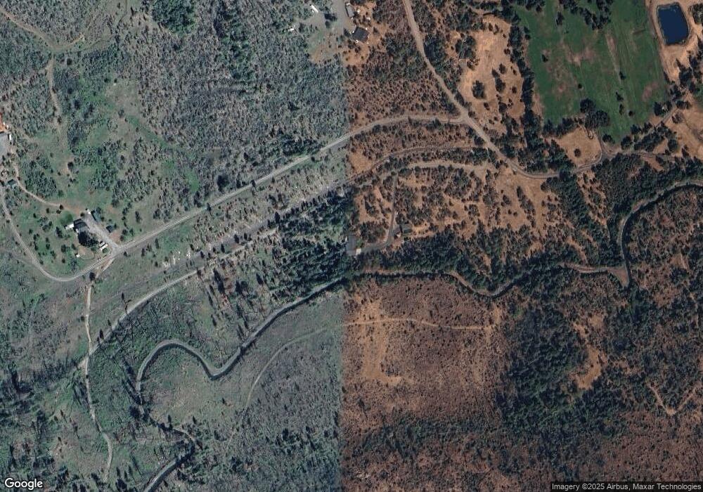
1100 Derby Rd Eagle Point, OR 97524
Estimated Value: $669,312 - $752,000
3
Beds
3
Baths
2,073
Sq Ft
$343/Sq Ft
Est. Value
About This Home
This home is located at 1100 Derby Rd, Eagle Point, OR 97524 and is currently estimated at $710,656, approximately $342 per square foot. 1100 Derby Rd is a home located in Jackson County.
Ownership History
Date
Name
Owned For
Owner Type
Purchase Details
Closed on
Nov 3, 2011
Sold by
Huntley H Abe and Huntley Lori D
Bought by
Huntley H Abe and Huntley Lori D
Current Estimated Value
Purchase Details
Closed on
Feb 19, 2003
Sold by
Mathews Developing Inc
Bought by
Huntley H Abe and Huntley Lori D
Home Financials for this Owner
Home Financials are based on the most recent Mortgage that was taken out on this home.
Original Mortgage
$90,000
Interest Rate
5.89%
Mortgage Type
Seller Take Back
Purchase Details
Closed on
Aug 29, 2002
Sold by
Smith Jimmie Donald and Smith Merlene Leona
Bought by
Mathews Developing Inc
Create a Home Valuation Report for This Property
The Home Valuation Report is an in-depth analysis detailing your home's value as well as a comparison with similar homes in the area
Purchase History
| Date | Buyer | Sale Price | Title Company |
|---|---|---|---|
| Huntley H Abe | -- | None Available | |
| Huntley H Abe | $150,000 | First Amer Title Ins Co Of O | |
| Mathews Developing Inc | -- | Amerititle |
Source: Public Records
Mortgage History
| Date | Status | Borrower | Loan Amount |
|---|---|---|---|
| Closed | Huntley H Abe | $90,000 |
Source: Public Records
Tax History Compared to Growth
Tax History
| Year | Tax Paid | Tax Assessment Tax Assessment Total Assessment is a certain percentage of the fair market value that is determined by local assessors to be the total taxable value of land and additions on the property. | Land | Improvement |
|---|---|---|---|---|
| 2026 | $2,706 | $307,110 | -- | -- |
| 2025 | $2,623 | $298,170 | $151,820 | $146,350 |
| 2024 | $2,623 | $289,490 | $147,400 | $142,090 |
| 2023 | $2,543 | $281,060 | $143,110 | $137,950 |
| 2022 | $2,444 | $281,060 | $143,110 | $137,950 |
| 2021 | $2,366 | $272,880 | $138,940 | $133,940 |
| 2020 | $2,297 | $264,940 | $134,880 | $130,060 |
| 2019 | $2,231 | $249,740 | $127,140 | $122,600 |
| 2018 | $2,163 | $242,470 | $123,430 | $119,040 |
| 2017 | $2,117 | $242,470 | $123,430 | $119,040 |
| 2016 | $2,059 | $228,560 | $116,330 | $112,230 |
| 2015 | $1,988 | $228,560 | $116,330 | $112,230 |
| 2014 | $1,932 | $215,450 | $109,650 | $105,800 |
Source: Public Records
Map
Nearby Homes
- 509 Derby Rd
- 9500 Butte Falls Hwy
- 5619 Butte Falls Hwy
- 13388 Butte Falls Hwy
- 2162 Butte Falls Hwy
- 800 Hillandale Cir
- 1305 Butte Falls Hwy
- 1881 Brophy Rd
- 2871 Cobleigh Rd
- 2795 Ball Rd
- 0 Crowfoot Rd
- 2900 Indian Creek Rd
- 5885 Crowfoot Rd
- 6534 Crowfoot Rd
- 21 Brophy Way Unit 17
- 20140 Highway 62
- 20400 Highway 62
- 192 Cindy Way
- 176 Cindy Way
- 20413 Oregon 62
