1100 Highway 25 Gallatin, TN 37066
Estimated Value: $567,000 - $766,000
--
Bed
2
Baths
1,290
Sq Ft
$538/Sq Ft
Est. Value
About This Home
This home is located at 1100 Highway 25, Gallatin, TN 37066 and is currently estimated at $694,194, approximately $538 per square foot. 1100 Highway 25 is a home located in Sumner County with nearby schools including Howard Elementary School, Gallatin Senior High School, and St. John Vianney Catholic School.
Ownership History
Date
Name
Owned For
Owner Type
Purchase Details
Closed on
Jan 28, 2022
Sold by
Jones Randall R and Jones Barbara C
Bought by
Collins William
Current Estimated Value
Purchase Details
Closed on
Dec 30, 2021
Sold by
Jones Randall R and Jones Barbara C
Bought by
Rudy Rosemary
Purchase Details
Closed on
Aug 16, 2005
Sold by
Fletcher Alan W and Fletcher Renee
Bought by
Jones Randall R and Jones Barbara C
Purchase Details
Closed on
Nov 19, 2001
Sold by
Mclean William H and Mclean Jacqueline R
Bought by
Fletcher Alan W
Home Financials for this Owner
Home Financials are based on the most recent Mortgage that was taken out on this home.
Original Mortgage
$160,000
Interest Rate
6.72%
Create a Home Valuation Report for This Property
The Home Valuation Report is an in-depth analysis detailing your home's value as well as a comparison with similar homes in the area
Home Values in the Area
Average Home Value in this Area
Purchase History
| Date | Buyer | Sale Price | Title Company |
|---|---|---|---|
| Collins William | $343,900 | Smith Sholar Milliken Pllc | |
| Rudy Rosemary | $372,900 | Smith Sholar Milliken Pllc | |
| Jones Randall R | $300,000 | -- | |
| Fletcher Alan W | $200,000 | Accurate Title & Escrow Inc |
Source: Public Records
Mortgage History
| Date | Status | Borrower | Loan Amount |
|---|---|---|---|
| Previous Owner | Fletcher Alan W | $160,000 |
Source: Public Records
Tax History Compared to Growth
Tax History
| Year | Tax Paid | Tax Assessment Tax Assessment Total Assessment is a certain percentage of the fair market value that is determined by local assessors to be the total taxable value of land and additions on the property. | Land | Improvement |
|---|---|---|---|---|
| 2024 | $2,620 | $184,375 | $102,300 | $82,075 |
| 2023 | $2,172 | $96,450 | $61,875 | $34,575 |
| 2022 | $2,182 | $96,450 | $61,875 | $34,575 |
| 2021 | $2,182 | $96,450 | $61,875 | $34,575 |
| 2020 | $2,182 | $96,450 | $61,875 | $34,575 |
| 2019 | $2,182 | $0 | $0 | $0 |
| 2018 | $1,901 | $0 | $0 | $0 |
| 2017 | $1,901 | $0 | $0 | $0 |
| 2016 | $2,314 | $0 | $0 | $0 |
| 2015 | -- | $0 | $0 | $0 |
| 2014 | -- | $0 | $0 | $0 |
Source: Public Records
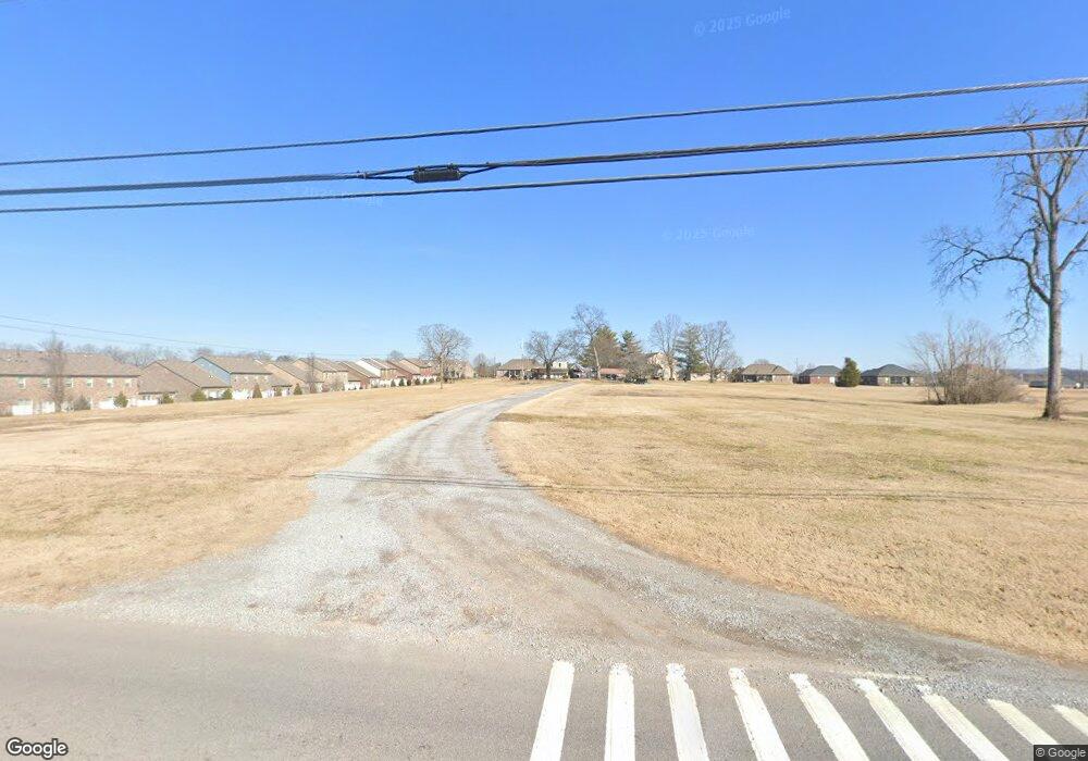
Map
Nearby Homes
- 559 Becks Place
- 3023 Duvall Dr
- 177 Hedgeway Ct
- 653 Weathervane Dr
- 204 Osprey Dr
- 462 Mya Marie Dr
- 149 Putter Point Dr
- 638 Wassil Dr
- 281 Grassy Glen Dr
- 292 Grassy Glen Dr
- 251 Wildcat Run
- 428 Mya Marie Dr
- 274 Osprey Dr
- 548 Dottie Dr
- The Caldwell Plan at Winston Place
- The Harrington Plan at Winston Place
- The Benson II Plan at Winston Place
- The Manchester II Plan at Winston Place
- The McGinnis Plan at Winston Place
- The Langford Plan at Winston Place
- 1100 Tennessee 25 Unit A
- 103 Acorn Way
- 519 Becks Place
- 515 Becks Place
- 104 Acorn Way
- 511 Becks Place
- 2038 Sperling Dr
- 2040 Sperling Dr
- 2038 Sperling Dr
- 2036 Sperling Dr
- 2036 Sperling Dr
- 2034 Sperling Dr
- 520 Becks Place
- 524 Becks Place
- 2032 Sperling Dr
- 2042 Sperling Dr
- 2042 Sperling Dr
- 516 Becks Place
- 2044 Sperling Dr
- 2030 Sperling Dr