1100 Nilson Rd Bellefonte, PA 16823
Estimated Value: $473,000 - $581,920
4
Beds
3
Baths
2,815
Sq Ft
$187/Sq Ft
Est. Value
About This Home
This home is located at 1100 Nilson Rd, Bellefonte, PA 16823 and is currently estimated at $526,980, approximately $187 per square foot. 1100 Nilson Rd is a home with nearby schools including Bellefonte Area High School.
Ownership History
Date
Name
Owned For
Owner Type
Purchase Details
Closed on
Jul 26, 2015
Sold by
Mattern Ronald D and Mattern Allen Rex
Bought by
Schellenberg Lucas C and Schellenberg Stacey E
Current Estimated Value
Home Financials for this Owner
Home Financials are based on the most recent Mortgage that was taken out on this home.
Original Mortgage
$63,000
Outstanding Balance
$25,009
Interest Rate
4.08%
Mortgage Type
Purchase Money Mortgage
Estimated Equity
$501,971
Purchase Details
Closed on
Apr 25, 2007
Sold by
Mattern Ronald D and Mattern Allen Rex
Bought by
Mattern Ronald D and Mattern Allen Rex
Create a Home Valuation Report for This Property
The Home Valuation Report is an in-depth analysis detailing your home's value as well as a comparison with similar homes in the area
Home Values in the Area
Average Home Value in this Area
Purchase History
| Date | Buyer | Sale Price | Title Company |
|---|---|---|---|
| Schellenberg Lucas C | $90,000 | None Available | |
| Mattern Ronald D | -- | None Available | |
| Mattern Ronald D | -- | None Available |
Source: Public Records
Mortgage History
| Date | Status | Borrower | Loan Amount |
|---|---|---|---|
| Open | Schellenberg Lucas C | $63,000 |
Source: Public Records
Tax History Compared to Growth
Tax History
| Year | Tax Paid | Tax Assessment Tax Assessment Total Assessment is a certain percentage of the fair market value that is determined by local assessors to be the total taxable value of land and additions on the property. | Land | Improvement |
|---|---|---|---|---|
| 2025 | $6,494 | $102,215 | $32,990 | $69,225 |
| 2024 | $6,198 | $102,215 | $32,990 | $69,225 |
| 2023 | $6,198 | $102,215 | $32,990 | $69,225 |
| 2022 | $6,095 | $102,215 | $32,990 | $69,225 |
| 2021 | $6,071 | $102,215 | $32,990 | $69,225 |
| 2020 | $6,071 | $102,215 | $32,990 | $69,225 |
| 2019 | $5,884 | $102,215 | $32,990 | $69,225 |
| 2018 | $5,944 | $102,215 | $32,990 | $69,225 |
| 2017 | $1,903 | $32,990 | $32,990 | $0 |
| 2016 | -- | $32,990 | $32,990 | $0 |
| 2015 | -- | $32,990 | $32,990 | $0 |
| 2014 | -- | $32,990 | $32,990 | $0 |
Source: Public Records
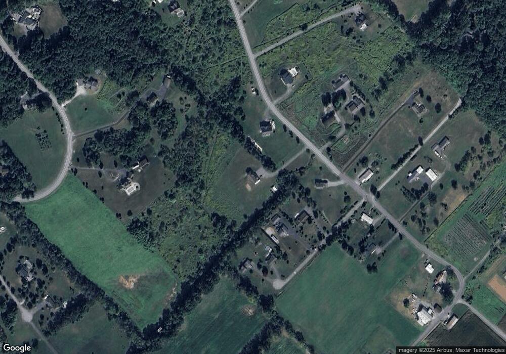
Map
Nearby Homes
- 0 Hunter Ridge Rd
- 1249 Blue Spruce Dr
- 0 Hunter Ridge Road Lot Unit WP001
- 128 Marie Ln
- 118 Franklin St
- 240 Lorinda Ln
- Lot - L93 Hancock Rd
- 855 Forest Ave
- 0 Cobblestone Rd
- 170 Ten Point Path
- 147 Ten Point Path
- Elmcrest Plan at Deerhaven
- Dartmouth Plan at Deerhaven
- Newport Plan at Deerhaven
- Cedarwood Plan at Deerhaven
- Rosewood Plan at Deerhaven
- Glynwood Plan at Deerhaven
- Coleford Plan at Deerhaven
- Pinewood Plan at Deerhaven
- Aspen Plan at Deerhaven