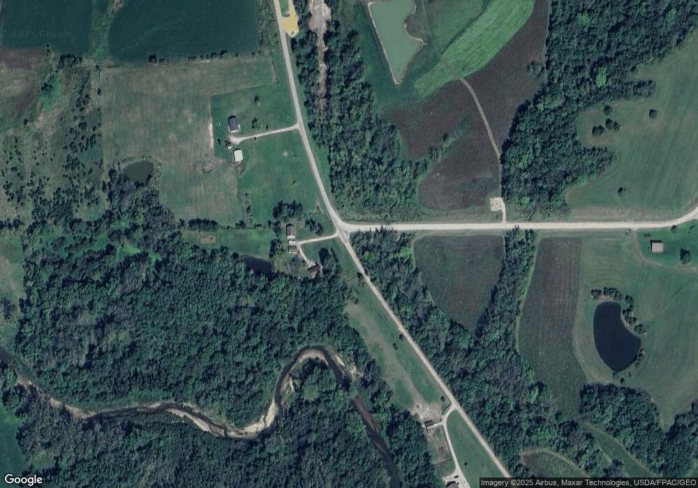
11005 Mink Blvd Bloomfield, IA 52537
Estimated Value: $259,000 - $414,725
2
Beds
2
Baths
2,400
Sq Ft
$129/Sq Ft
Est. Value
About This Home
This home is located at 11005 Mink Blvd, Bloomfield, IA 52537 and is currently estimated at $309,681, approximately $129 per square foot. 11005 Mink Blvd is a home located in Davis County with nearby schools including Davis County Elementary School, Davis County Middle School, and Davis County Community High School.
Ownership History
Date
Name
Owned For
Owner Type
Purchase Details
Closed on
Jun 3, 2010
Sold by
Bartlett Wanda L
Bought by
Knight Todd
Current Estimated Value
Home Financials for this Owner
Home Financials are based on the most recent Mortgage that was taken out on this home.
Original Mortgage
$112,500
Outstanding Balance
$75,404
Interest Rate
5.05%
Mortgage Type
New Conventional
Estimated Equity
$234,277
Create a Home Valuation Report for This Property
The Home Valuation Report is an in-depth analysis detailing your home's value as well as a comparison with similar homes in the area
Home Values in the Area
Average Home Value in this Area
Purchase History
| Date | Buyer | Sale Price | Title Company |
|---|---|---|---|
| Knight Todd | $125,000 | None Available |
Source: Public Records
Mortgage History
| Date | Status | Borrower | Loan Amount |
|---|---|---|---|
| Open | Knight Todd | $112,500 |
Source: Public Records
Tax History Compared to Growth
Tax History
| Year | Tax Paid | Tax Assessment Tax Assessment Total Assessment is a certain percentage of the fair market value that is determined by local assessors to be the total taxable value of land and additions on the property. | Land | Improvement |
|---|---|---|---|---|
| 2025 | $4,010 | $351,380 | $215,150 | $136,230 |
| 2024 | $4,010 | $267,940 | $145,100 | $122,840 |
| 2023 | $3,878 | $267,940 | $145,100 | $122,840 |
| 2022 | $3,224 | $210,410 | $91,060 | $119,350 |
| 2021 | $3,224 | $186,960 | $91,060 | $95,900 |
| 2020 | $2,714 | $158,160 | $67,040 | $91,120 |
| 2019 | $2,940 | $158,160 | $67,040 | $91,120 |
| 2018 | $2,454 | $153,220 | $67,040 | $86,180 |
| 2017 | $2,454 | $153,220 | $67,040 | $86,180 |
| 2016 | $2,332 | $124,210 | $0 | $0 |
| 2015 | $2,332 | $125,390 | $0 | $0 |
| 2014 | $2,204 | $125,390 | $0 | $0 |
Source: Public Records
Map
Nearby Homes
- 10186 Lupine Trail
- 23751 125th St
- 23284 Floris Rd
- 23772 Floris Rd
- 12679 Jewel Ave
- 3788 Little Soap Rd
- 102 Walnut St
- 13 A 160th St
- 12 A 160th St
- 22584 160th St
- 4261 Highway 63
- 13367 Quail Ave
- 3637 150th Ave
- 0 15th St Unit NOC6332055
- 44 A 145th St
- 13241 Hickory Blvd
- 14470 Hickory Blvd
- 14264 Ruby Blvd
- NKA Kelp Ave
- 11555 Swallow Blvd
- 10927 Mink Blvd
- 10794 Mink Blvd
- 22719 Monarch Trail
- 1305 140th
- 11448 Mink Blvd
- 21969 117th Ln
- 11617 Mink Blvd
- Lot 4 117th Ln
- 21917 117th Ln
- Lot 7 117th Ln
- Lot 2 117th Ln
- 10499 Mink Blvd
- 10499 Mink Blvd
- 10666 Mink Blvd
- 10650 Mink Blvd
- 10457 Mink Blvd
- 11333 Highway 63
- 21858 115th Ln
- 10403 Mink Blvd
- 21917 115th Ln
