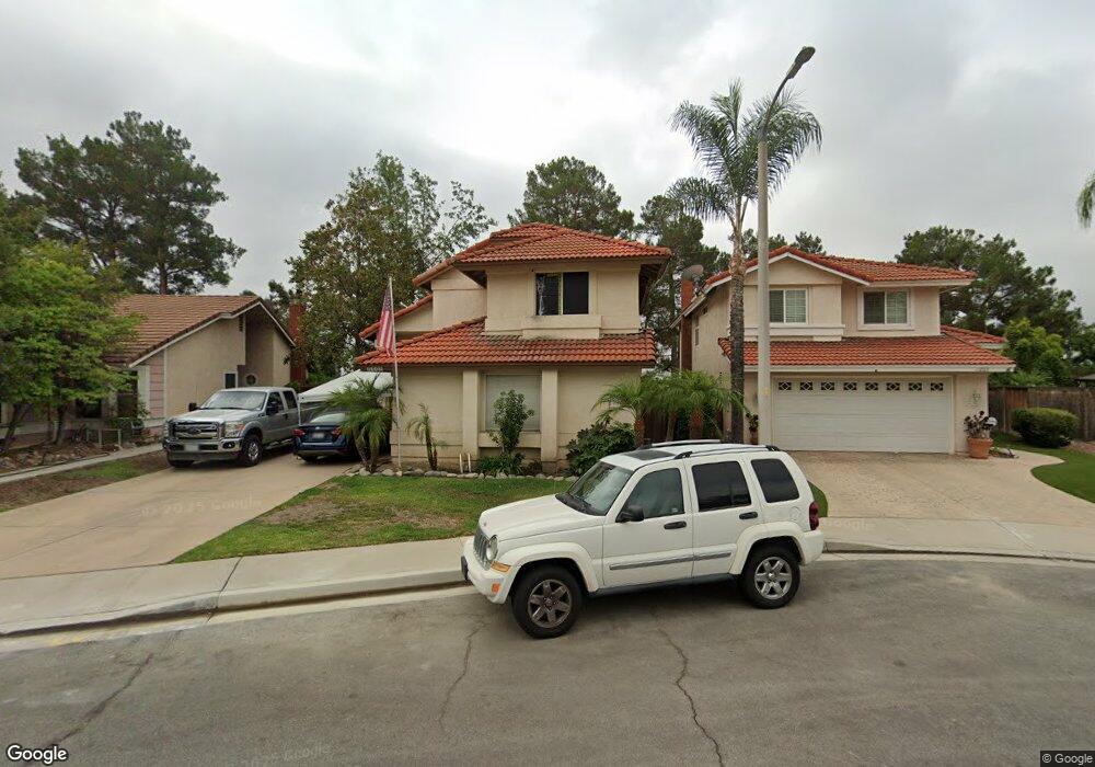
11005 Shaw St Rancho Cucamonga, CA 91701
Victoria NeighborhoodEstimated Value: $672,000 - $759,000
3
Beds
3
Baths
1,354
Sq Ft
$529/Sq Ft
Est. Value
About This Home
This home is located at 11005 Shaw St, Rancho Cucamonga, CA 91701 and is currently estimated at $716,654, approximately $529 per square foot. 11005 Shaw St is a home located in San Bernardino County with nearby schools including Victoria Groves Elementary, Vineyard Junior High, and Los Osos High.
Ownership History
Date
Name
Owned For
Owner Type
Purchase Details
Closed on
Aug 9, 2016
Sold by
Uradomo David F and Uradomo Janet Yuki
Bought by
Uradomo David Fumio and Uradomo Janet Yuki
Current Estimated Value
Purchase Details
Closed on
Aug 14, 2008
Sold by
Uradomo David F
Bought by
Uradomo David F and Uradomo Janet Yuki
Home Financials for this Owner
Home Financials are based on the most recent Mortgage that was taken out on this home.
Original Mortgage
$272,000
Interest Rate
6.27%
Mortgage Type
New Conventional
Create a Home Valuation Report for This Property
The Home Valuation Report is an in-depth analysis detailing your home's value as well as a comparison with similar homes in the area
Home Values in the Area
Average Home Value in this Area
Purchase History
| Date | Buyer | Sale Price | Title Company |
|---|---|---|---|
| Uradomo David Fumio | -- | None Available | |
| Uradomo David F | -- | First American Title |
Source: Public Records
Mortgage History
| Date | Status | Borrower | Loan Amount |
|---|---|---|---|
| Closed | Uradomo David F | $272,000 |
Source: Public Records
Tax History
| Year | Tax Paid | Tax Assessment Tax Assessment Total Assessment is a certain percentage of the fair market value that is determined by local assessors to be the total taxable value of land and additions on the property. | Land | Improvement |
|---|---|---|---|---|
| 2025 | $3,412 | $232,392 | $75,064 | $157,328 |
| 2024 | $3,318 | $227,835 | $73,592 | $154,243 |
| 2023 | $3,223 | $223,368 | $72,149 | $151,219 |
| 2022 | $3,181 | $218,988 | $70,734 | $148,254 |
| 2021 | $3,165 | $214,694 | $69,347 | $145,347 |
| 2020 | $3,064 | $212,493 | $68,636 | $143,857 |
| 2019 | $3,091 | $208,326 | $67,290 | $141,036 |
| 2018 | $3,037 | $204,242 | $65,971 | $138,271 |
| 2017 | $2,916 | $200,237 | $64,677 | $135,560 |
| 2016 | $2,843 | $196,311 | $63,409 | $132,902 |
| 2015 | $2,818 | $193,363 | $62,457 | $130,906 |
| 2014 | $2,762 | $189,576 | $61,234 | $128,342 |
Source: Public Records
Map
Nearby Homes
- 11022 Carlow Ct
- 6592 San Benito Ave
- 11208 Wingate Dr
- 6771 Galveston Place
- 6587 Shawna Ave
- 11189 Summerside Ln
- 7004 Beal Ct
- 11222 Cortland St
- 10830 Yolo St
- 11224 Amarillo St
- 11238 Skyview Ln
- 11356 Verona Dr
- 11320 Genova Rd
- 10655 Lemon Ave Unit 3704
- 10655 Lemon Ave Unit 1001
- 7034 Mendocino Place
- 10899 Mirador Dr
- 6853 Pandino Ct
- 11537 Cotton Cloud Dr
- 11432 Mount Baxter St
Your Personal Tour Guide
Ask me questions while you tour the home.