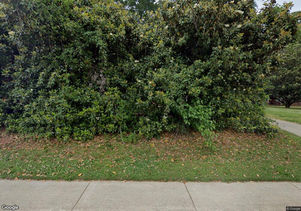
1101 Canton Rd Marietta, GA 30066
Northwestern Marietta NeighborhoodEstimated Value: $195,000 - $318,000
1
Bed
1
Bath
690
Sq Ft
$370/Sq Ft
Est. Value
About This Home
This home is located at 1101 Canton Rd, Marietta, GA 30066 and is currently estimated at $255,159, approximately $369 per square foot. 1101 Canton Rd is a home located in Cobb County with nearby schools including Sawyer Road Elementary School, Marietta Sixth Grade Academy, and Marietta Middle School.
Ownership History
Date
Name
Owned For
Owner Type
Purchase Details
Closed on
Jun 16, 2000
Sold by
Anderson Joe L
Bought by
Ellas Sohel and Ellas Vickie B
Current Estimated Value
Home Financials for this Owner
Home Financials are based on the most recent Mortgage that was taken out on this home.
Original Mortgage
$70,200
Outstanding Balance
$24,968
Interest Rate
8.55%
Mortgage Type
New Conventional
Estimated Equity
$230,191
Create a Home Valuation Report for This Property
The Home Valuation Report is an in-depth analysis detailing your home's value as well as a comparison with similar homes in the area
Home Values in the Area
Average Home Value in this Area
Purchase History
| Date | Buyer | Sale Price | Title Company |
|---|---|---|---|
| Ellas Sohel | $79,000 | -- |
Source: Public Records
Mortgage History
| Date | Status | Borrower | Loan Amount |
|---|---|---|---|
| Open | Ellas Sohel | $70,200 |
Source: Public Records
Tax History Compared to Growth
Tax History
| Year | Tax Paid | Tax Assessment Tax Assessment Total Assessment is a certain percentage of the fair market value that is determined by local assessors to be the total taxable value of land and additions on the property. | Land | Improvement |
|---|---|---|---|---|
| 2025 | $688 | $81,276 | $41,760 | $39,516 |
| 2024 | $617 | $72,948 | $37,584 | $35,364 |
| 2023 | $533 | $62,964 | $34,800 | $28,164 |
| 2022 | $466 | $55,044 | $34,800 | $20,244 |
| 2021 | $420 | $48,940 | $32,016 | $16,924 |
| 2020 | $325 | $37,804 | $20,880 | $16,924 |
| 2019 | $325 | $37,804 | $20,880 | $16,924 |
| 2018 | $297 | $34,588 | $19,488 | $15,100 |
| 2017 | $210 | $30,412 | $15,312 | $15,100 |
| 2016 | $190 | $27,628 | $12,528 | $15,100 |
| 2015 | $180 | $23,972 | $9,744 | $14,228 |
| 2014 | $186 | $23,972 | $0 | $0 |
Source: Public Records
Map
Nearby Homes
- 812 Caldwell Cir
- 808 Caldwell Cir
- 797 Kiowa Dr NE
- 230 Alday Ln
- The Carlyle Floorplan at The Carlyle
- 773 Kiowa Dr NE
- 204 Sequoia Dr NE
- 273 White St Unit 7
- 281 White St Unit 5
- 297 White St Unit 1
- 289 White St Unit 3
- Bolton Plan at Bluffs at Bells Ferry
- Bryson Plan at Bluffs at Bells Ferry
- Brooks Plan at Bluffs at Bells Ferry
- 713 Meadowbrook Ln NE
- 188 Bluffington Way
- 192 Bluffington Way
- 40 Dickson Rd
- 1310 Bells Ferry Rd
- 1351 Bells Ferry Rd
- 1103 Canton Rd
- 1119 Canton Rd
- 1125 Canton Rd
- 1057 Canton Rd
- 1090 Industrial Park Dr
- 0 Industrial Park Dr Unit 8209588
- 0 Industrial Park Dr Unit 8593596
- 0 Industrial Park Dr
- 931 Cobb Pkwy N
- 1290 Kennestone Cir
- 890 Canton Rd NE
- 234 Alday Ln
- 820 Canton Rd NE Unit 1-712
- 820 Canton Rd NE Unit 1-319
- 820 Canton Rd NE Unit 1-303
- 820 Canton Rd NE Unit 1-717
- 820 Canton Rd NE Unit 1-708
- 820 Canton Rd NE
- 135 Vann St NE
- 159 Gray St NE
