1101 Diascund Point Lanexa, VA 23089
Estimated Value: $620,000 - $807,000
3
Beds
3
Baths
2,319
Sq Ft
$305/Sq Ft
Est. Value
About This Home
This home is located at 1101 Diascund Point, Lanexa, VA 23089 and is currently estimated at $707,741, approximately $305 per square foot. 1101 Diascund Point is a home located in New Kent County with nearby schools including New Kent High School.
Ownership History
Date
Name
Owned For
Owner Type
Purchase Details
Closed on
Nov 20, 2015
Sold by
Edmonds Jonathan Westley
Bought by
Edmonds Amy N and Edmonds Jonathan W
Current Estimated Value
Home Financials for this Owner
Home Financials are based on the most recent Mortgage that was taken out on this home.
Original Mortgage
$373,000
Outstanding Balance
$294,177
Interest Rate
3.87%
Mortgage Type
New Conventional
Estimated Equity
$413,564
Purchase Details
Closed on
Aug 25, 2005
Sold by
Richardson David N
Bought by
Edmonds Jonathan W
Home Financials for this Owner
Home Financials are based on the most recent Mortgage that was taken out on this home.
Original Mortgage
$380,000
Interest Rate
5.68%
Mortgage Type
New Conventional
Create a Home Valuation Report for This Property
The Home Valuation Report is an in-depth analysis detailing your home's value as well as a comparison with similar homes in the area
Home Values in the Area
Average Home Value in this Area
Purchase History
| Date | Buyer | Sale Price | Title Company |
|---|---|---|---|
| Edmonds Amy N | -- | Attorney | |
| Edmonds Jonathan W | $400,000 | -- |
Source: Public Records
Mortgage History
| Date | Status | Borrower | Loan Amount |
|---|---|---|---|
| Open | Edmonds Amy N | $373,000 | |
| Previous Owner | Edmonds Jonathan W | $380,000 |
Source: Public Records
Tax History Compared to Growth
Tax History
| Year | Tax Paid | Tax Assessment Tax Assessment Total Assessment is a certain percentage of the fair market value that is determined by local assessors to be the total taxable value of land and additions on the property. | Land | Improvement |
|---|---|---|---|---|
| 2025 | $4,263 | $710,500 | $285,800 | $424,700 |
| 2024 | $4,192 | $710,500 | $285,800 | $424,700 |
| 2023 | $3,769 | $562,500 | $251,400 | $311,100 |
| 2022 | $3,769 | $562,500 | $251,400 | $311,100 |
| 2021 | $3,961 | $501,400 | $233,900 | $267,500 |
| 2020 | $3,961 | $501,400 | $233,900 | $267,500 |
| 2019 | $3,700 | $451,200 | $250,600 | $200,600 |
| 2018 | $3,700 | $451,200 | $250,600 | $200,600 |
| 2017 | $3,694 | $445,100 | $250,600 | $194,500 |
| 2016 | $3,694 | $445,100 | $250,600 | $194,500 |
| 2015 | $3,449 | $410,600 | $250,300 | $160,300 |
| 2014 | -- | $410,600 | $250,300 | $160,300 |
Source: Public Records
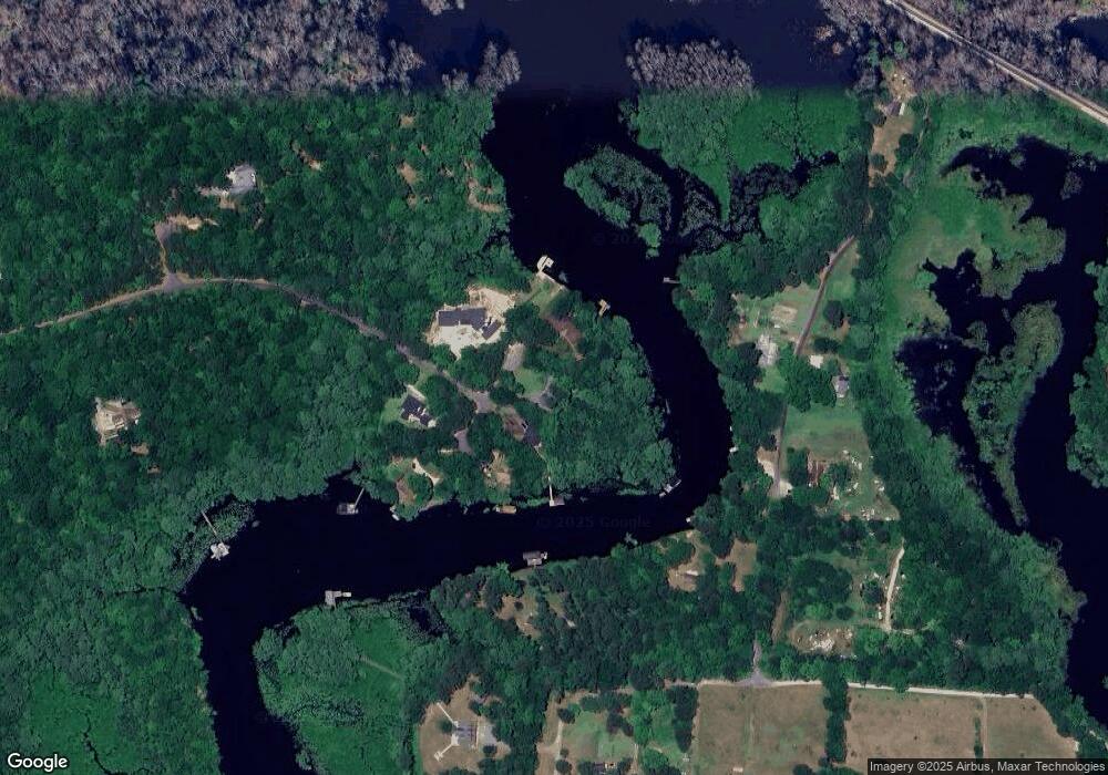
Map
Nearby Homes
- 0 Cliffe Ct Unit 2501411
- 15507 Fort James Ct
- S. Waterside Dr & Colony Trail
- 701 Colony Trail
- 501 Colony Trail
- 276 Colony Trail
- 9228 Diascund Rd
- 9463 Richmond Rd
- 9487 Richmond Rd
- 9231 Richmond Rd
- 7609 Beechwood Dr
- 2359 N Waterside Dr
- 8122 Diascund Rd
- 1010 Riverside Dr
- 501 Racefield Dr
- 700 W Riverside Dr
- 4093 S Riverside Dr
- 517 W Riverside Dr
- 15019 Blayton Ln
- 2129 Gilmer Ln
- 1100 Diascund Point
- 1101 Diascund Pointe Trail
- 1105 Diascund Point
- 1005 Diascund Point
- 1001 Diascund Point
- 1104 Diascund Point
- 1010 Diascund Point
- 1000 Diascund Point
- 1010 Diascund Point
- 8535 Hicks Island Rd
- 8521 Hicks Island Rd
- 8529 Hicks Island Rd
- 8503 Hicks Island Rd
- 8451 Hicks Island Rd
- 8459 Hicks Island Rd
- 8530 Hicks Island Rd
- 8497 Hicks Island Rd
- 8512 Hicks Island Rd
- 0 Diascund Point Trail Unit 2824105
- 0 Diascund Point Trail Unit 30015620