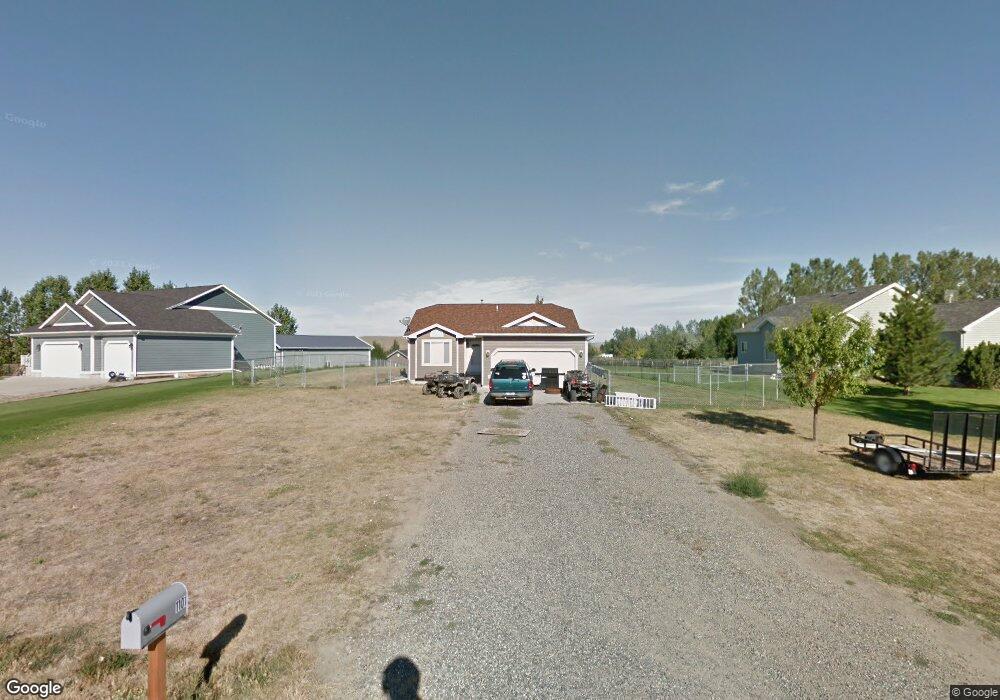
1101 Lost View Dr Billings, MT 59105
Estimated Value: $421,000 - $455,000
5
Beds
3
Baths
2,569
Sq Ft
$170/Sq Ft
Est. Value
About This Home
This home is located at 1101 Lost View Dr, Billings, MT 59105 and is currently estimated at $435,663, approximately $169 per square foot. 1101 Lost View Dr is a home located in Yellowstone County with nearby schools including Independent Elementary School, Castle Rock Junior High School, and Skyview High School.
Ownership History
Date
Name
Owned For
Owner Type
Purchase Details
Closed on
Nov 10, 2011
Sold by
Martin Gerald E and Martin Brenda K
Bought by
Reiners Michael P
Current Estimated Value
Home Financials for this Owner
Home Financials are based on the most recent Mortgage that was taken out on this home.
Original Mortgage
$193,877
Outstanding Balance
$131,271
Interest Rate
3.95%
Mortgage Type
New Conventional
Estimated Equity
$304,392
Create a Home Valuation Report for This Property
The Home Valuation Report is an in-depth analysis detailing your home's value as well as a comparison with similar homes in the area
Purchase History
| Date | Buyer | Sale Price | Title Company |
|---|---|---|---|
| Reiners Michael P | -- | None Available |
Source: Public Records
Mortgage History
| Date | Status | Borrower | Loan Amount |
|---|---|---|---|
| Open | Reiners Michael P | $193,877 |
Source: Public Records
Tax History
| Year | Tax Paid | Tax Assessment Tax Assessment Total Assessment is a certain percentage of the fair market value that is determined by local assessors to be the total taxable value of land and additions on the property. | Land | Improvement |
|---|---|---|---|---|
| 2025 | $2,649 | $438,400 | $78,998 | $359,402 |
| 2024 | $2,649 | $399,000 | $71,344 | $327,656 |
| 2023 | $2,645 | $399,000 | $71,344 | $327,656 |
| 2022 | $2,139 | $280,700 | $0 | $0 |
| 2021 | $2,144 | $280,700 | $0 | $0 |
| 2020 | $1,992 | $249,100 | $0 | $0 |
| 2019 | $2,003 | $249,100 | $0 | $0 |
| 2018 | $2,020 | $231,300 | $0 | $0 |
| 2017 | $2,029 | $231,300 | $0 | $0 |
| 2016 | $1,898 | $232,200 | $0 | $0 |
| 2015 | $1,788 | $232,200 | $0 | $0 |
| 2014 | $1,626 | $109,816 | $0 | $0 |
Source: Public Records
Map
Nearby Homes
- 4901 Country View Dr
- 4947 Middle Valley Dr
- 0 Middle Valley Dr
- TBD Sage Rock Blk 1 Lot 3 Trail
- TBD Sage Rock Blk 1 Lot 2 Trail
- TBD Pine Rock Blk 1 Lot 1 Trail
- 631 Pine Rock Blk 5 Lot 1 Trail
- 630 Pine Rock Blk 4 Lot 10 Trail
- Block 4, Lot 9 Pine Rock Trail
- 637 Sage Rock Blk 4 Lot 2 Trail
- 627 Pine Rock Blk 5 Lot 2 Trail
- 627 Sage Rock Blk 4 Lot 3 Trail
- 610 Sage Rock Bk 1 Lot 8 Trail
- TBD Twisted Rock Blk 4 Lot 5 Trail
- 512 Sage Rock Bk 1 Lot 9 Trail
- TBD Sage Rock Bk 3 Lot 1 Trail
- 1248 Cherry Island Dr
- 1243 Cherry Island Dr
- 1237 Cherry Island Dr
- 1254 Cherry Island Dr
- 1039 Lost View Dr
- 1107 Lost View Dr
- 1104 Lost View Dr
- 1031 Lost View Dr
- 1108 Little Butte Place
- 1100 Lost View Dr
- 1110 Little Butte Place
- 4912 Blue Grouse Place
- 1040 Lost View Dr
- 4902 Country View Dr
- 1023 Lost View Dr
- 1112 Little Butte Place
- 1115 Little Butte Place
- 1032 Lost View Dr
- 4908 Country View Dr
- 1015 Lost View Dr
- 1024 Lost View Dr
- 4916 Blue Grouse Place
- 1120 Little Butte Place
- 1016 Lost View Dr
Your Personal Tour Guide
Ask me questions while you tour the home.