11019 236th St Spring Valley, MN 55975
Estimated Value: $818,000
5
Beds
2
Baths
2,120
Sq Ft
$386/Sq Ft
Est. Value
About This Home
This home is located at 11019 236th St, Spring Valley, MN 55975 and is currently priced at $818,000, approximately $385 per square foot. 11019 236th St is a home located in Fillmore County with nearby schools including Kingsland Elementary School, Kingsland Middle School, and Kingsland Junior/Senior High School.
Ownership History
Date
Name
Owned For
Owner Type
Purchase Details
Closed on
Sep 23, 2015
Sold by
Terry Trustee Terry
Bought by
Reiland Matthew Matthew
Current Estimated Value
Purchase Details
Closed on
Dec 5, 2013
Sold by
Therneau Minar O and Therneau Dorothea L
Bought by
Therneau Minar O and Therneau Dorothea L
Create a Home Valuation Report for This Property
The Home Valuation Report is an in-depth analysis detailing your home's value as well as a comparison with similar homes in the area
Home Values in the Area
Average Home Value in this Area
Purchase History
| Date | Buyer | Sale Price | Title Company |
|---|---|---|---|
| Reiland Matthew Matthew | $406,900 | -- | |
| Reiland Mathew | -- | None Available | |
| Therneau Minar O | -- | None Available |
Source: Public Records
Tax History Compared to Growth
Tax History
| Year | Tax Paid | Tax Assessment Tax Assessment Total Assessment is a certain percentage of the fair market value that is determined by local assessors to be the total taxable value of land and additions on the property. | Land | Improvement |
|---|---|---|---|---|
| 2025 | $3,680 | $885,900 | $782,700 | $103,200 |
| 2024 | $3,680 | $751,400 | $671,000 | $80,400 |
| 2023 | $3,360 | $751,400 | $671,000 | $80,400 |
| 2022 | $3,360 | $594,600 | $514,200 | $80,400 |
| 2021 | $3,360 | $591,700 | $511,300 | $80,400 |
| 2020 | $3,142 | $591,700 | $511,300 | $80,400 |
| 2019 | $2,976 | $506,400 | $501,900 | $4,500 |
| 2018 | $2,894 | $506,400 | $501,900 | $4,500 |
| 2017 | -- | $496,500 | $492,600 | $3,900 |
| 2016 | $1,686 | $569,900 | $480,800 | $89,100 |
| 2015 | $1,786 | $614,400 | $536,905 | $77,495 |
| 2014 | $1,786 | $619,900 | $542,406 | $77,494 |
| 2013 | $1,786 | $471,000 | $390,259 | $80,741 |
Source: Public Records
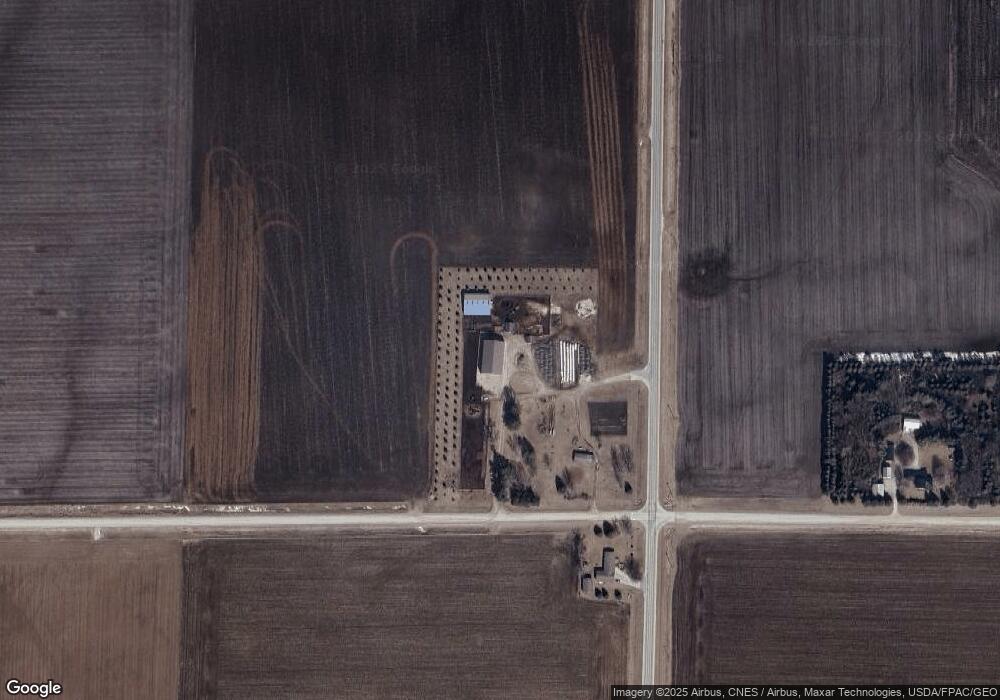
Map
Nearby Homes
- XXX Sata Dr
- 528 N Broadway St
- 712 Memorial Dr
- 709 Mlinar Ave
- 313 N Hudson Ave
- 517 Warren Ave
- 113 E Fairview St
- 213 W Fremont St
- 321 N Section Ave
- 409 Center Ave
- 505 E Farmer St
- 700 S Section Ave
- XXX 256th St
- xxx 265th St
- 79275 267th St
- xxx Highway 63
- 26269 Old Shady Wood Dr
- 12 Pine Ave SE
- 504 Minnesota St
- TBD Harrison Ave NE
- 23557 111th Ave
- xxxx 111th Ave
- 11231 236th St
- 10569 236th St
- 10567 236th St
- 24235 111th Ave
- 10281 236th St
- 22237 County 1
- TBD Hwy 16 63
- 11730 State Highway 16
- 10894 State Highway 16
- 10894 State Highway 16
- 10894 State Highway 16
- 10894 State Highway 16
- 11644 State Highway 16
- XXX Pheasant Ridge
- 12030 236th St