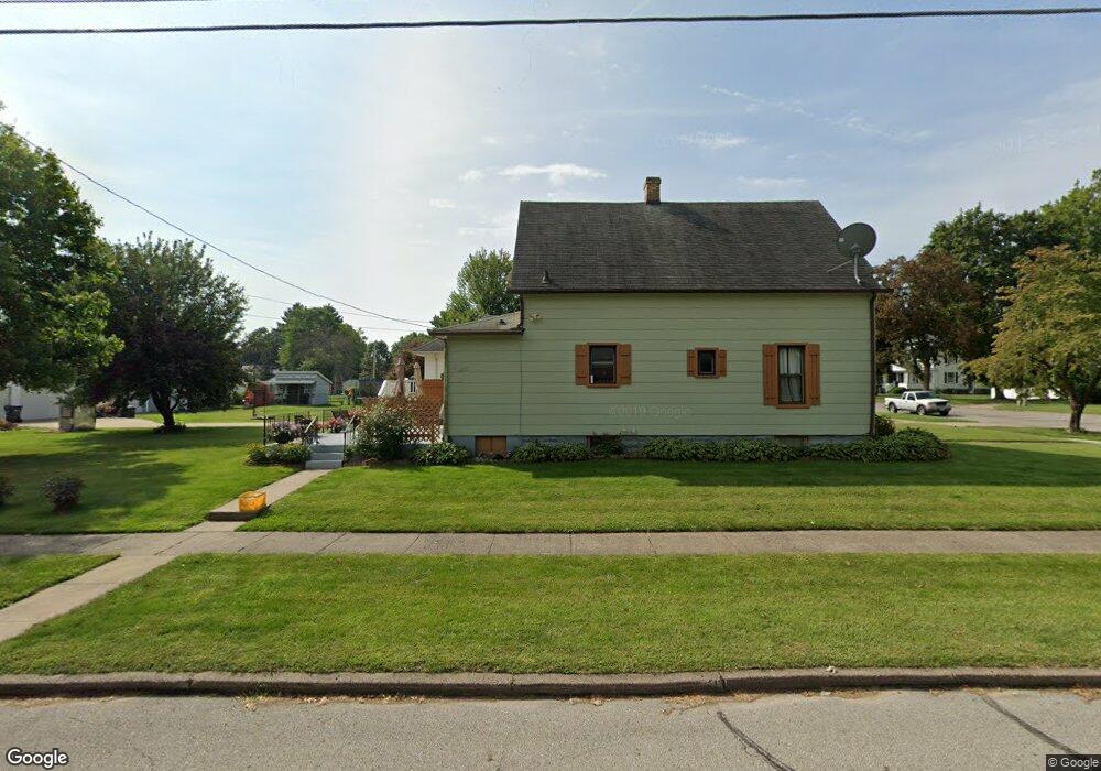
1102 S Starr Ave Burlington, IA 52601
Estimated Value: $185,000 - $216,985
2
Beds
2
Baths
1,442
Sq Ft
$140/Sq Ft
Est. Value
About This Home
This home is located at 1102 S Starr Ave, Burlington, IA 52601 and is currently estimated at $201,246, approximately $139 per square foot. 1102 S Starr Ave is a home located in Des Moines County with nearby schools including Burlington Community High School, Burlington Notre Dame Catholic Elementary School, and Burlington Notre Dame Junior/Senior High School.
Ownership History
Date
Name
Owned For
Owner Type
Purchase Details
Closed on
Apr 2, 2010
Sold by
Reynolds Hilary A and Morrow Justin M
Bought by
Wiseman Brian K and Wiseman Stacie L
Current Estimated Value
Home Financials for this Owner
Home Financials are based on the most recent Mortgage that was taken out on this home.
Original Mortgage
$140,409
Outstanding Balance
$92,967
Interest Rate
4.96%
Mortgage Type
FHA
Estimated Equity
$108,279
Create a Home Valuation Report for This Property
The Home Valuation Report is an in-depth analysis detailing your home's value as well as a comparison with similar homes in the area
Home Values in the Area
Average Home Value in this Area
Purchase History
| Date | Buyer | Sale Price | Title Company |
|---|---|---|---|
| Wiseman Brian K | -- | None Available |
Source: Public Records
Mortgage History
| Date | Status | Borrower | Loan Amount |
|---|---|---|---|
| Open | Wiseman Brian K | $140,409 |
Source: Public Records
Tax History Compared to Growth
Tax History
| Year | Tax Paid | Tax Assessment Tax Assessment Total Assessment is a certain percentage of the fair market value that is determined by local assessors to be the total taxable value of land and additions on the property. | Land | Improvement |
|---|---|---|---|---|
| 2025 | $3,724 | $203,000 | $25,000 | $178,000 |
| 2024 | $3,724 | $201,900 | $25,000 | $176,900 |
| 2023 | $3,250 | $201,900 | $25,000 | $176,900 |
| 2022 | $3,476 | $179,700 | $25,000 | $154,700 |
| 2021 | $3,476 | $179,700 | $25,000 | $154,700 |
| 2020 | $3,708 | $179,700 | $25,000 | $154,700 |
| 2019 | $2,584 | $179,700 | $25,000 | $154,700 |
| 2018 | $2,584 | $120,800 | $22,200 | $98,600 |
| 2017 | $2,136 | $99,200 | $0 | $0 |
| 2016 | $1,906 | $92,400 | $0 | $0 |
| 2015 | $1,906 | $92,400 | $0 | $0 |
| 2014 | $1,930 | $93,300 | $0 | $0 |
Source: Public Records
Map
Nearby Homes
- 2020 Dill St
- 915 Hagemann Ave
- 1728 Dodge St
- 1205 Perkins Ave
- 2106 Mason Rd
- 809 S Starr Ave
- 1301 Perkins Ave
- 817 S Plane St
- 1200 Perkins Ave
- 1407 Perkins Ave
- 1704 Olive St
- 1310 Summer St
- 2204 Williams St
- 810 S 14th St
- 1801 Page St
- 671 Higbee Ave
- 1432 Cleveland Ave
- 930 Horizon St
- 526 S Plane St
- 537 Summer St
- 1110 S Starr Ave
- 1100 S Starr Ave
- 1126 S Starr Ave
- 1038 S Starr Ave
- 1920 Dill St
- 1113 S Leebrick St
- 1128 S Starr Ave
- 1109 S Leebrick St
- 1119 S Leebrick St
- 1101 S Leebrick St
- 1121 S Starr Ave
- 1125 S Leebrick St
- 1101 S Starr Ave
- 1130 S Starr Ave
- 1036 S Starr Ave
- 1125 S Starr Ave
- 1133 S Leebrick St
- 1045 S Leebrick St
- 1030 S Starr Ave
- 1037 S Starr Ave