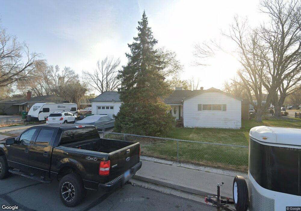
1102 Stanford Way Sparks, NV 89431
McCarran Boulevard-Probasco NeighborhoodEstimated Value: $357,920 - $396,000
3
Beds
1
Bath
1,092
Sq Ft
$344/Sq Ft
Est. Value
About This Home
This home is located at 1102 Stanford Way, Sparks, NV 89431 and is currently estimated at $375,730, approximately $344 per square foot. 1102 Stanford Way is a home located in Washoe County with nearby schools including Greenbrae Elementary School, George L Dilworth Middle School, and Sparks High School.
Ownership History
Date
Name
Owned For
Owner Type
Purchase Details
Closed on
Sep 14, 2007
Sold by
Doratt Debra F
Bought by
Doratt Mario H
Current Estimated Value
Home Financials for this Owner
Home Financials are based on the most recent Mortgage that was taken out on this home.
Original Mortgage
$151,200
Outstanding Balance
$95,730
Interest Rate
6.57%
Mortgage Type
Unknown
Estimated Equity
$280,000
Create a Home Valuation Report for This Property
The Home Valuation Report is an in-depth analysis detailing your home's value as well as a comparison with similar homes in the area
Home Values in the Area
Average Home Value in this Area
Purchase History
| Date | Buyer | Sale Price | Title Company |
|---|---|---|---|
| Doratt Mario H | -- | First Centennial Title Co |
Source: Public Records
Mortgage History
| Date | Status | Borrower | Loan Amount |
|---|---|---|---|
| Open | Doratt Mario H | $151,200 |
Source: Public Records
Tax History Compared to Growth
Tax History
| Year | Tax Paid | Tax Assessment Tax Assessment Total Assessment is a certain percentage of the fair market value that is determined by local assessors to be the total taxable value of land and additions on the property. | Land | Improvement |
|---|---|---|---|---|
| 2025 | $737 | $51,888 | $33,565 | $18,323 |
| 2024 | $716 | $48,190 | $30,065 | $18,125 |
| 2023 | $716 | $48,078 | $31,325 | $16,753 |
| 2022 | $697 | $39,808 | $26,180 | $13,628 |
| 2021 | $676 | $31,143 | $17,955 | $13,188 |
| 2020 | $656 | $30,009 | $16,940 | $13,069 |
| 2019 | $636 | $28,251 | $15,890 | $12,361 |
| 2018 | $617 | $23,587 | $11,725 | $11,862 |
| 2017 | $601 | $22,201 | $10,395 | $11,806 |
| 2016 | $584 | $21,162 | $9,345 | $11,817 |
| 2015 | $584 | $19,391 | $7,700 | $11,691 |
| 2014 | $568 | $17,494 | $6,440 | $11,054 |
| 2013 | -- | $15,055 | $4,270 | $10,785 |
Source: Public Records
Map
Nearby Homes
- 300 I St
- 385 Gleeson Way
- 8 E O St
- 370 O'Brien Way
- 345 H St
- 1703 1st St
- 10 Lincoln Way
- 360 E Lincoln Way
- 1940 4th St Unit 20
- 1940 4th St Unit 51
- 1945 4th St Unit 32
- 1945 4th St Unit 33
- 1945 4th St Unit 10
- 848 Parkside Dr Unit 1
- 445 Pine Meadows Dr Unit E25
- 601 Oakwood Dr Unit 4
- 611 Oakwood Dr Unit 1
- 684 Oakwood Dr Unit 3
- 400 4th St
- 801 Woodglen Dr Unit 2