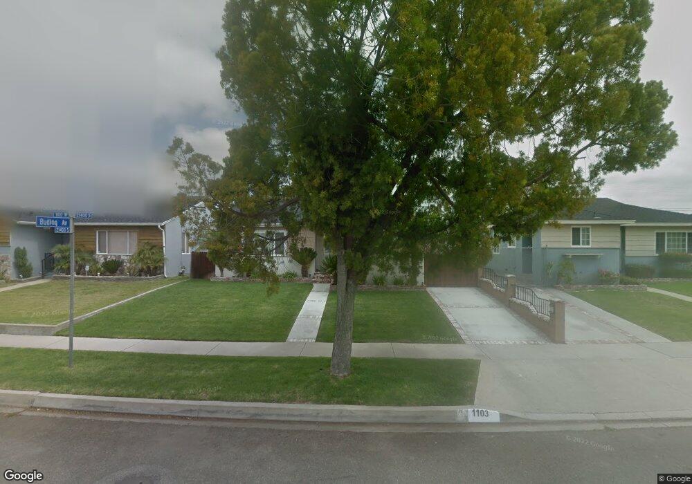
1103 Desford St Torrance, CA 90502
West Carson NeighborhoodEstimated Value: $785,136 - $956,000
3
Beds
2
Baths
1,225
Sq Ft
$700/Sq Ft
Est. Value
About This Home
This home is located at 1103 Desford St, Torrance, CA 90502 and is currently estimated at $857,034, approximately $699 per square foot. 1103 Desford St is a home located in Los Angeles County with nearby schools including Halldale Elementary School, Stephen M. White Middle School, and Nathaniel Narbonne Senior High School.
Ownership History
Date
Name
Owned For
Owner Type
Purchase Details
Closed on
Feb 22, 2023
Sold by
Bauman Ronald C
Bought by
Ronald Charles Bauman Ii Living Trust
Current Estimated Value
Purchase Details
Closed on
Sep 5, 1997
Sold by
Church Carolyn M
Bought by
Bauman Ii Ronald C
Home Financials for this Owner
Home Financials are based on the most recent Mortgage that was taken out on this home.
Original Mortgage
$116,000
Interest Rate
7.44%
Create a Home Valuation Report for This Property
The Home Valuation Report is an in-depth analysis detailing your home's value as well as a comparison with similar homes in the area
Home Values in the Area
Average Home Value in this Area
Purchase History
| Date | Buyer | Sale Price | Title Company |
|---|---|---|---|
| Ronald Charles Bauman Ii Living Trust | -- | -- | |
| Bauman Ii Ronald C | $145,000 | Provident Title |
Source: Public Records
Mortgage History
| Date | Status | Borrower | Loan Amount |
|---|---|---|---|
| Previous Owner | Bauman Ii Ronald C | $116,000 |
Source: Public Records
Tax History Compared to Growth
Tax History
| Year | Tax Paid | Tax Assessment Tax Assessment Total Assessment is a certain percentage of the fair market value that is determined by local assessors to be the total taxable value of land and additions on the property. | Land | Improvement |
|---|---|---|---|---|
| 2025 | $3,285 | $231,500 | $184,411 | $47,089 |
| 2024 | $3,285 | $226,962 | $180,796 | $46,166 |
| 2023 | $3,228 | $222,512 | $177,251 | $45,261 |
| 2022 | $3,080 | $218,150 | $173,776 | $44,374 |
| 2021 | $3,047 | $213,873 | $170,369 | $43,504 |
| 2019 | $2,953 | $207,531 | $165,317 | $42,214 |
| 2018 | $2,868 | $203,463 | $162,076 | $41,387 |
| 2016 | $2,732 | $195,565 | $155,784 | $39,781 |
| 2015 | $2,682 | $192,628 | $153,444 | $39,184 |
| 2014 | $2,597 | $188,856 | $150,439 | $38,417 |
Source: Public Records
Map
Nearby Homes
- 22325 Sage Ct
- 22302 Sage Ct
- 22303 Sage Ct
- 941 W Carson St Unit 106
- 21141 Berendo Ave
- 21125 Normandie Ave
- 1107 W 210th St
- 21726 Halldale Ave
- 715 W 220th St Unit 32
- 715 W 220th St Unit 47
- 21322 Denker Ave
- 946 W 220th St Unit 216
- 21926 S Vermont Ave Unit 6
- 20907 Halldale Ave
- 20813 Normandie Ave
- 21602 Figueroa St Unit 10
- 20710 Raymond Ave
- 21114 La Salle Ave
- 22214 Meyler St
- 20616 Budlong Ave
- 21402 Meyler St
- 1109 Desford St
- 21324 Budlong Ave
- 21408 Meyler St
- 1113 Desford St
- 21325 Budlong Ave
- 21412 Meyler St
- 21318 Budlong Ave
- 1119 Desford St
- 21402 Budlong Ave
- 21401 Budlong Ave
- 21319 Budlong Ave
- 21325 Meyler Ave
- 1123 Desford St
- 21418 Meyler St Unit 21418 Meyler Street
- 21418 Meyler St
- 21312 Budlong Ave
- 21313 Budlong Ave
- 21407 Budlong Ave
- 21406 Budlong Ave