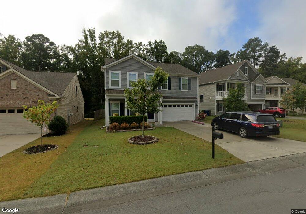
1103 Poplar St Durham, NC 27703
Eastern Durham NeighborhoodEstimated Value: $488,000 - $516,000
4
Beds
3
Baths
2,388
Sq Ft
$208/Sq Ft
Est. Value
About This Home
This home is located at 1103 Poplar St, Durham, NC 27703 and is currently estimated at $495,653, approximately $207 per square foot. 1103 Poplar St is a home located in Durham County with nearby schools including Spring Valley Elementary School, John W Neal Middle School, and Southern School of Energy & Sustainability.
Ownership History
Date
Name
Owned For
Owner Type
Purchase Details
Closed on
Jun 16, 2016
Sold by
Calatlantic Grp Inc
Bought by
Mosepey Jordan C and Mcqueen Danielle
Current Estimated Value
Home Financials for this Owner
Home Financials are based on the most recent Mortgage that was taken out on this home.
Original Mortgage
$257,360
Interest Rate
3.58%
Mortgage Type
New Conventional
Purchase Details
Closed on
Jan 11, 2016
Sold by
Mosepey Jordan C
Bought by
Cohen Cerrone A and Cohen Katherine F
Home Financials for this Owner
Home Financials are based on the most recent Mortgage that was taken out on this home.
Original Mortgage
$260,300
Interest Rate
3.38%
Mortgage Type
New Conventional
Purchase Details
Closed on
Sep 14, 2015
Sold by
Gk Brightwood Lllp
Bought by
The Ryland Group Inc
Create a Home Valuation Report for This Property
The Home Valuation Report is an in-depth analysis detailing your home's value as well as a comparison with similar homes in the area
Home Values in the Area
Average Home Value in this Area
Purchase History
| Date | Buyer | Sale Price | Title Company |
|---|---|---|---|
| Mosepey Jordan C | $266,000 | -- | |
| Cohen Cerrone A | $274,000 | -- | |
| The Ryland Group Inc | $708,000 | Attorney |
Source: Public Records
Mortgage History
| Date | Status | Borrower | Loan Amount |
|---|---|---|---|
| Previous Owner | Mosepey Jordan C | $257,360 | |
| Previous Owner | Cohen Cerrone A | $260,300 |
Source: Public Records
Tax History Compared to Growth
Tax History
| Year | Tax Paid | Tax Assessment Tax Assessment Total Assessment is a certain percentage of the fair market value that is determined by local assessors to be the total taxable value of land and additions on the property. | Land | Improvement |
|---|---|---|---|---|
| 2025 | $5,107 | $515,192 | $101,185 | $414,007 |
| 2024 | $3,977 | $285,144 | $51,905 | $233,239 |
| 2023 | $3,735 | $285,144 | $51,905 | $233,239 |
| 2022 | $3,650 | $285,144 | $51,905 | $233,239 |
| 2021 | $3,632 | $285,144 | $51,905 | $233,239 |
| 2020 | $3,547 | $285,144 | $51,905 | $233,239 |
| 2019 | $3,547 | $285,144 | $51,905 | $233,239 |
| 2018 | $3,271 | $241,161 | $47,080 | $194,081 |
| 2017 | $3,247 | $241,161 | $47,080 | $194,081 |
| 2016 | $613 | $47,080 | $47,080 | $0 |
| 2015 | $62 | $4,509 | $4,509 | $0 |
| 2014 | $62 | $4,509 | $4,509 | $0 |
Source: Public Records
Map
Nearby Homes
- 1020 Big Spring Cir
- 1305 San Antonio Blvd
- 3338 Prospect Pkwy
- 1106 Constellation Cir
- 1102 Constellation Cir
- 814 Poplar St
- Coleman Plan at Stella View - Ardmore Collection
- Tryon III Plan at Stella View - Summit Collection
- Mayflower III Plan at Stella View - Summit Collection
- Landrum III Plan at Stella View - Summit Collection
- 1017 Constellation Cir
- 1307 Cosmic Dr
- 1062 Constellation Cir
- 6 Dawson Ct
- 632 Poplar St
- 1529 Odette Way
- 1533 Odette Way
- Galvani II Plan at Shaw Ridge
- Eastman III Plan at Shaw Ridge
- Dalton Plan at Shaw Ridge