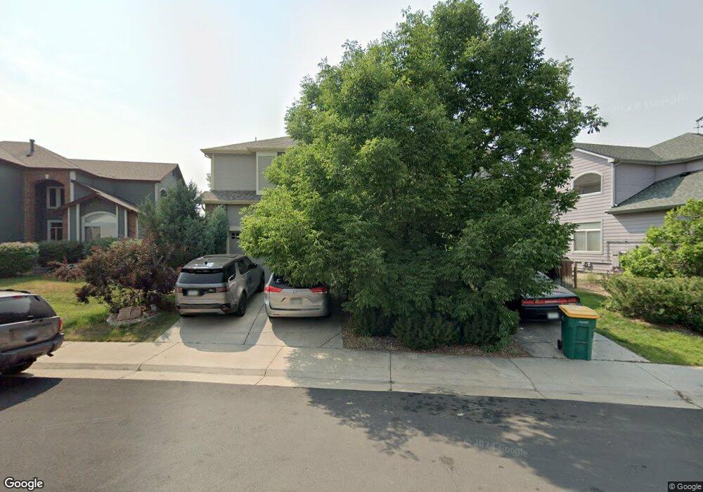
11035 Independence Cir E Parker, CO 80134
Bradbury Ranch NeighborhoodEstimated Value: $826,537 - $893,000
5
Beds
5
Baths
5,160
Sq Ft
$167/Sq Ft
Est. Value
About This Home
This home is located at 11035 Independence Cir E, Parker, CO 80134 and is currently estimated at $864,134, approximately $167 per square foot. 11035 Independence Cir E is a home located in Douglas County with nearby schools including Prairie Crossing Elementary School, Sierra Middle School, and Chaparral High School.
Ownership History
Date
Name
Owned For
Owner Type
Purchase Details
Closed on
May 31, 2013
Sold by
Mcmahon Sean and Mcmahon Helen
Bought by
Wen Shuifan and Zhang Jiaxiang
Current Estimated Value
Home Financials for this Owner
Home Financials are based on the most recent Mortgage that was taken out on this home.
Original Mortgage
$250,000
Outstanding Balance
$170,779
Interest Rate
2.62%
Mortgage Type
Adjustable Rate Mortgage/ARM
Estimated Equity
$693,355
Purchase Details
Closed on
Apr 23, 2010
Sold by
Flood Mervin J and Flood Susan S
Bought by
Mcmahon Sean and Mcmahon Helen
Home Financials for this Owner
Home Financials are based on the most recent Mortgage that was taken out on this home.
Original Mortgage
$334,800
Interest Rate
4.88%
Mortgage Type
New Conventional
Purchase Details
Closed on
Jun 26, 2008
Sold by
U S Bank Na
Bought by
Flood Mervin J and Flood Susan S
Home Financials for this Owner
Home Financials are based on the most recent Mortgage that was taken out on this home.
Original Mortgage
$220,000
Interest Rate
6.42%
Mortgage Type
Unknown
Purchase Details
Closed on
Apr 29, 2008
Sold by
Yinger Denise and Yinger Michael
Bought by
U S Bank Na
Home Financials for this Owner
Home Financials are based on the most recent Mortgage that was taken out on this home.
Original Mortgage
$220,000
Interest Rate
6.42%
Mortgage Type
Unknown
Purchase Details
Closed on
Sep 18, 2000
Sold by
Gallery At Cherrywood Inc
Bought by
Yinger Michael and Yinger Denise
Home Financials for this Owner
Home Financials are based on the most recent Mortgage that was taken out on this home.
Original Mortgage
$300,000
Interest Rate
7.87%
Purchase Details
Closed on
Jun 7, 1999
Sold by
Gilligan Family Partnership
Bought by
Gallery Cherrywood Inc
Purchase Details
Closed on
May 28, 1999
Sold by
Amrepco Inc
Bought by
Gilligan Family Partnership
Create a Home Valuation Report for This Property
The Home Valuation Report is an in-depth analysis detailing your home's value as well as a comparison with similar homes in the area
Home Values in the Area
Average Home Value in this Area
Purchase History
| Date | Buyer | Sale Price | Title Company |
|---|---|---|---|
| Wen Shuifan | $418,500 | First American | |
| Mcmahon Sean | $372,000 | Land Title Guarantee Company | |
| Flood Mervin J | $320,000 | Land Title Guarantee Company | |
| U S Bank Na | -- | None Available | |
| Yinger Michael | $447,000 | -- | |
| Gallery Cherrywood Inc | -- | -- | |
| Gilligan Family Partnership | $1,032,000 | -- |
Source: Public Records
Mortgage History
| Date | Status | Borrower | Loan Amount |
|---|---|---|---|
| Open | Wen Shuifan | $250,000 | |
| Previous Owner | Mcmahon Sean | $334,800 | |
| Previous Owner | Flood Mervin J | $220,000 | |
| Previous Owner | Yinger Michael | $300,000 | |
| Closed | Yinger Michael | $56,250 |
Source: Public Records
Tax History Compared to Growth
Tax History
| Year | Tax Paid | Tax Assessment Tax Assessment Total Assessment is a certain percentage of the fair market value that is determined by local assessors to be the total taxable value of land and additions on the property. | Land | Improvement |
|---|---|---|---|---|
| 2024 | $4,863 | $59,350 | $9,100 | $50,250 |
| 2023 | $4,921 | $59,350 | $9,100 | $50,250 |
| 2022 | $3,616 | $41,820 | $6,190 | $35,630 |
| 2021 | $3,764 | $41,820 | $6,190 | $35,630 |
| 2020 | $3,488 | $39,400 | $6,800 | $32,600 |
| 2019 | $3,510 | $39,400 | $6,800 | $32,600 |
| 2018 | $3,227 | $35,310 | $6,130 | $29,180 |
| 2017 | $2,994 | $35,310 | $6,130 | $29,180 |
| 2016 | $3,080 | $35,650 | $5,010 | $30,640 |
| 2015 | $3,136 | $35,650 | $5,010 | $30,640 |
| 2014 | $2,994 | $30,340 | $5,010 | $25,330 |
Source: Public Records
Map
Nearby Homes
- 11206 Keota St
- 10858 Willow Reed Cir E
- 17024 E Carr Ave
- 17039 Foxton Dr
- 11209 Vilas St
- 11029 Grouse Ct
- 17040 Hastings Ave
- 11300 Night Heron Dr
- 17045 Hastings Ave
- 11310 Night Heron Dr
- 10818 Mcclellan Rd
- 11367 S Blackthorn Ct
- 17187 E Cedar Gulch Dr
- 10811 Shaw Ct
- 16181 White Hawk Dr
- 16641 Martingale Dr
- 11235 S Neu Towne Cir
- 11387 S Blackthorn Ct
- 17033 Numa Place
- 11231 S Neu Towne Cir
- 11035 Indepedence Cr Cir E
- 11025 Independence Cir E
- 11045 Independence Cir E
- 11022 Independence Cir W
- 11032 Independence Cir W
- 11012 Independence Cir W
- 11048 Independence Cir E
- 11042 Independence Cir W
- 10992 Independence Cir W
- 10995 Independence Cir E
- 11038 Independence Cir E
- 11052 Independence Cir W
- 11028 Independence Cir E
- 11018 Independence Cir E
- 16855 Cedar Ridge Ct
- 11034 Independence Cir E
- 11021 Independence Cir W
- 11092 Independence Cir W
- 11031 Independence Cir W
- 11062 Independence Cir W